






What is the Niño 3.4 Region?
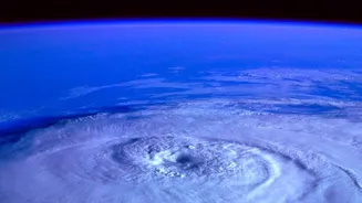
Imagine a vast, rectangular area of the tropical Pacific Ocean, straddling the equator. This is the Niño 3.4 region. It's one of several zones that climatologists monitor to track the El Niño-Southern Oscillation (ENSO), a recurring natural climate pattern.
While other regions exist, Niño 3.4 is considered the most important because temperature changes here are strongly linked to major shifts in atmospheric circulation, affecting weather far and wide. When waters in this specific zone become significantly warmer or cooler than their long-term average, it's a clear sign that a global weather shake-up is underway.
Understanding the 'Temperature Record'
The 'record' doesn't refer to the absolute temperature but to the 'anomaly'—how much it deviates from the normal. An El Niño event is declared when the Niño 3.4 sea surface temperature is at least 0.5°C above the long-term average for several months. Current forecasts for late 2026 are pointing towards a historic, or 'super', El Niño event. The World Meteorological Organization predicts the anomaly could reach a record +3.7°C, far surpassing the previous record of +2.6°C set during the powerful 2015-16 event. This indicates a massive amount of heat being released from the ocean into the atmosphere, setting the stage for significant weather disruptions.
The Global Ripple Effect
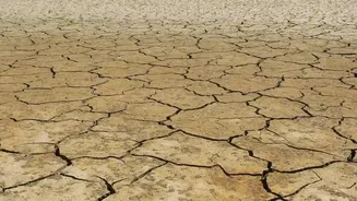
Warm water in the Niño 3.4 region acts like a giant heater, altering wind and rainfall patterns across the Pacific. This creates a domino effect. The normal easterly trade winds weaken or even reverse, and areas of heavy rainfall shift from the western Pacific (near Indonesia and Australia) to the central and eastern Pacific. This fundamental reorganisation of the ocean-atmosphere system doesn't stay in the Pacific. It influences major weather systems like jet streams, leading to unseasonal temperatures and precipitation in regions thousands of kilometres away. A strong El Niño can cause severe droughts in Australia and parts of Asia, while bringing record rainfall and flooding to parts of the Americas.
Why It Matters for India
For India, the primary concern during an El Niño year is its impact on the vital southwest monsoon. Historically, El Niño events have been linked to weaker monsoons and below-average rainfall across the country, increasing the risk of drought. This is because the altered atmospheric circulation patterns can disrupt the delicate balance of pressure and temperature that drives the monsoon winds. With a significant portion of the population dependent on rain-fed agriculture, a deficient monsoon can have severe consequences for crop yields, food security, and the broader economy. While not every El Niño leads to a drought in India, the correlation is strong enough to put forecasters and policymakers on high alert, especially with a potentially record-breaking event unfolding.
Beyond the Monsoon
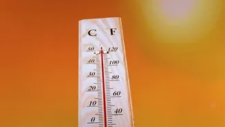
The impact isn't limited to the summer monsoon. A strong El Niño can influence post-monsoon rainfall, especially in southern India, sometimes bringing intense, localised downpours in November and December. It can also lead to warmer-than-average winters and hotter summers across the subcontinent. The current El Niño is developing in a world already warmed by climate change, which adds another layer of complexity and could amplify extreme weather events. The combination of a record-strong El Niño and a warmer planet means India must be prepared for a range of impacts, from agricultural distress to managing water resources and public health during heatwaves.