


How Rain Is Supposed to Work
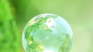
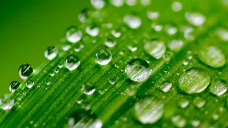
Let's start with a quick refresher on the water cycle we learned about in school. It is a simple, elegant system. Water from oceans, lakes, and even plants evaporates, turning into vapour and rising into the atmosphere. As this vapour travels higher,
it cools and condenses to form clouds. When the water droplets in these clouds become heavy enough, they fall back to Earth as rain or snow. This process is the planet's heartbeat, a constant circulation that sustains all life. For millennia, this cycle has had a relatively predictable rhythm, governing everything from our seasons to our agricultural practices.
Warmer Air, Slower Journeys
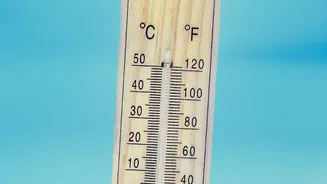
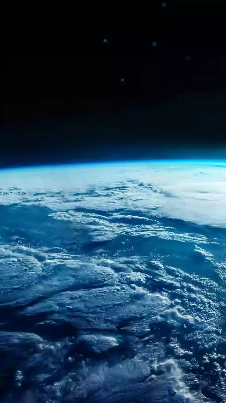
The core of the issue is that a warmer atmosphere, a direct result of climate change, can hold more moisture. For every degree Celsius of warming, the air’s capacity to hold water vapour increases significantly. This means that after water evaporates, it stays in the atmosphere for longer and travels further before it finds conditions cool enough to condense into rain clouds. This extended atmospheric journey is the 'stretch' mentioned in the headline. Water vapour is lingering in the air, building up in greater quantities than ever before, which fundamentally changes the when, where, and how of rainfall.
The Consequence: Longer Waits, Heavier Storms
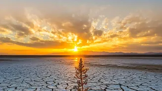
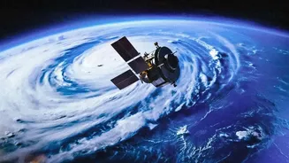
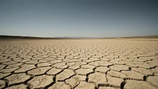
This stretched-out water cycle has a dual effect, creating a pattern of extremes. The longer periods between rainfall events contribute to longer and more intense dry spells and droughts in some regions. But when the rain finally does arrive, the atmosphere is holding an enormous amount of moisture. This results in precipitation that is far more intense and concentrated. Instead of several days of moderate showers, we experience a massive downpour in just a few hours. This is why we are seeing an increased frequency of both severe droughts and catastrophic floods, sometimes in the same regions. The rhythm of rainfall is becoming less of a steady beat and more of a volatile, unpredictable series of silences and crashes.
What This Means for India
For India, the implications are profound, especially concerning the monsoon, the lifeline of the nation's agriculture and economy. Studies show that India's rainfall patterns are already becoming more erratic. The monsoon is no longer a reliable, steady phenomenon but is increasingly characterized by intense, short bursts of extreme rain separated by long, dry periods. This volatility is disastrous for farmers who rely on predictable rains for sowing and growing crops. Too much rain at once can damage or destroy crops, while extended dry spells can lead to crop failure. Furthermore, these intense rainfall events overwhelm our urban infrastructure, leading to the flash floods that have become increasingly common in cities across the country.
An Altered Monsoon
Recent data reveals significant shifts in monsoon behaviour. A study by the Council on Energy, Environment and Water (CEEW) found that over half of India's tehsils saw a notable increase in southwest monsoon rainfall between 2012 and 2022, but this was often in the form of extreme events. At the same time, agriculturally vital areas like the Indo-Gangetic plain experienced a decline in crucial early monsoon rains. The monsoon's withdrawal is also becoming increasingly delayed, leading to heavy rainfall in months like October, which disrupts harvest cycles. This new, more chaotic monsoon pattern is a direct consequence of a warming climate's effect on the water cycle, posing a significant challenge to India's food and water security.