





What is NavIC?
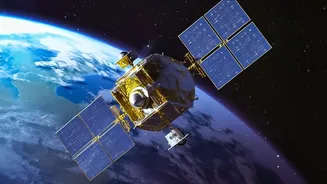
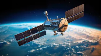
NavIC, which stands for Navigation with Indian Constellation, is India’s autonomous regional satellite navigation system. Developed by the Indian Space Research Organisation (ISRO), it was designed to reduce the country's reliance on foreign systems like
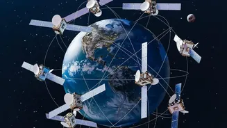
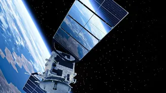
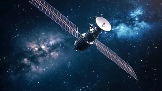
the United States' GPS. NavIC provides two main services: the Standard Positioning Service (SPS) for all civilian users and a Restricted Service (RS), which is an encrypted signal intended for authorised users like the Indian military. The system is designed to provide accurate real-time positioning and timing services over India and a region extending approximately 1,500 kilometres beyond its borders. For users on the ground, especially in challenging terrains like dense forests and deep valleys, NavIC's geostationary satellites are positioned to provide stronger signal reception compared to global systems whose signals arrive at an angle.
Cracks in the Constellation
To provide a standalone, accurate three-dimensional position, any satellite navigation system requires a minimum of four operational satellites. This is because a receiver on the ground needs signals from at least four satellites to calculate its latitude, longitude, altitude, and correct for timing errors. Unfortunately, India’s NavIC constellation has fallen below this crucial threshold. The system has been plagued by failures of atomic clocks on its first-generation satellites (the IRNSS series). These ultra-precise clocks are the heart of any navigation satellite, as even a minuscule timing error can lead to significant location inaccuracies on the ground. Following the failure of the last atomic clock on the IRNSS-1F satellite in March 2026, the number of fully functional positioning satellites dropped to just three. A subsequent setback occurred in January 2025, when the NVS-02 replacement satellite failed to reach its intended orbit. As a result, NavIC's standalone positioning service is currently inactive, though its timing service remains functional.
The NVS-03 Reinforcement Mission
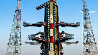
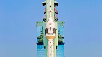
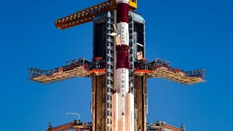
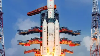
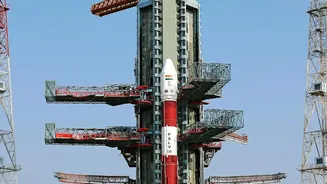
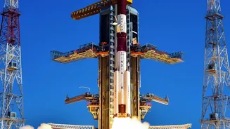
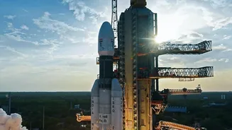
To address this shortfall, ISRO is targeting a launch window between October 15 and 20, 2026, for the NVS-03 satellite. This mission is a crucial step towards restoring NavIC's full capabilities. The launch will take place from the Satish Dhawan Space Centre in Sriharikota aboard a GSLV Mk II rocket. NVS-03 is part of a new generation of NavIC satellites designed to be more robust and feature-rich than their predecessors. A key upgrade is the inclusion of an indigenously developed rubidium atomic clock, intended to resolve the reliability issues faced with imported clocks on earlier satellites. Furthermore, the NVS series has a longer projected mission life of 12 years and broadcasts on the L1 frequency band, which is widely used by global navigation systems. This L1 compatibility will make it easier to integrate NavIC support into commercial devices like smartphones and wearables.
Why a Self-Reliant System Matters
A fully operational NavIC is more than a technological achievement; it is a strategic imperative. For the armed forces, having a sovereign navigation system is critical for missile guidance, coordinating naval and aerial assets, and troop movements, ensuring that these capabilities cannot be denied or degraded by a foreign power during a conflict. India’s experience during the 1999 Kargil War, where it faced potential denial of foreign GPS data, highlighted the vulnerability of relying on external systems for national security. Beyond defence, a reliable NavIC supports a wide range of civilian applications, from disaster management and vehicle tracking to precision agriculture and infrastructure development. Restoring the constellation reinforces the vision of 'Atmanirbhar Bharat' (Self-Reliant India) in a critical, high-technology domain, ensuring India has absolute control over its own positioning, navigation, and timing services.