


A Race Against The Clock
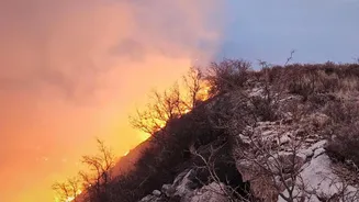
The critical factor in fighting a wildfire is not just manpower or water, but time. A small, manageable blaze can erupt into an unstoppable inferno in a matter of hours, or even minutes. For decades, detection relied on public 911 calls or sporadic patrols
from watchtowers and aircraft. While effective, these methods have limitations, especially in remote, unpopulated regions where a fire can grow unnoticed. As climate change contributes to hotter, drier conditions, the need for faster, more comprehensive detection has become a global urgency. The goal for firefighting agencies is to suppress the vast majority of fires while they are still small, a task that hinges entirely on knowing about them the moment they start.
The Old Way: Eyes in the Sky
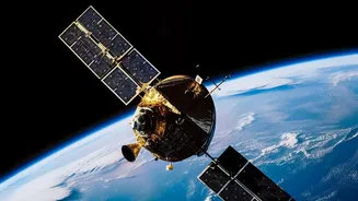
Satellites have been monitoring Earth's environment for years, offering a broad view of the planet. Existing weather and Earth-observing satellites can and do detect large fires. However, they were not designed specifically for this purpose. Their limitations are significant: they often lack the resolution to spot a small fire, and more importantly, they may only pass over the same location once or twice a day. This creates a massive gap in coverage, a window of many hours during which a new ignition can remain invisible from space, giving it ample time to spread. By the time a general-purpose satellite spots the blaze, it may already be too late for a quick response.
A New Generation of Sentinels
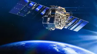
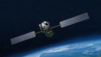
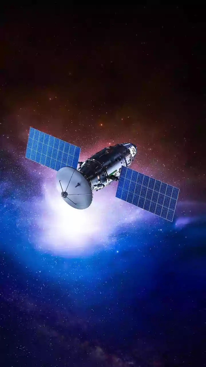
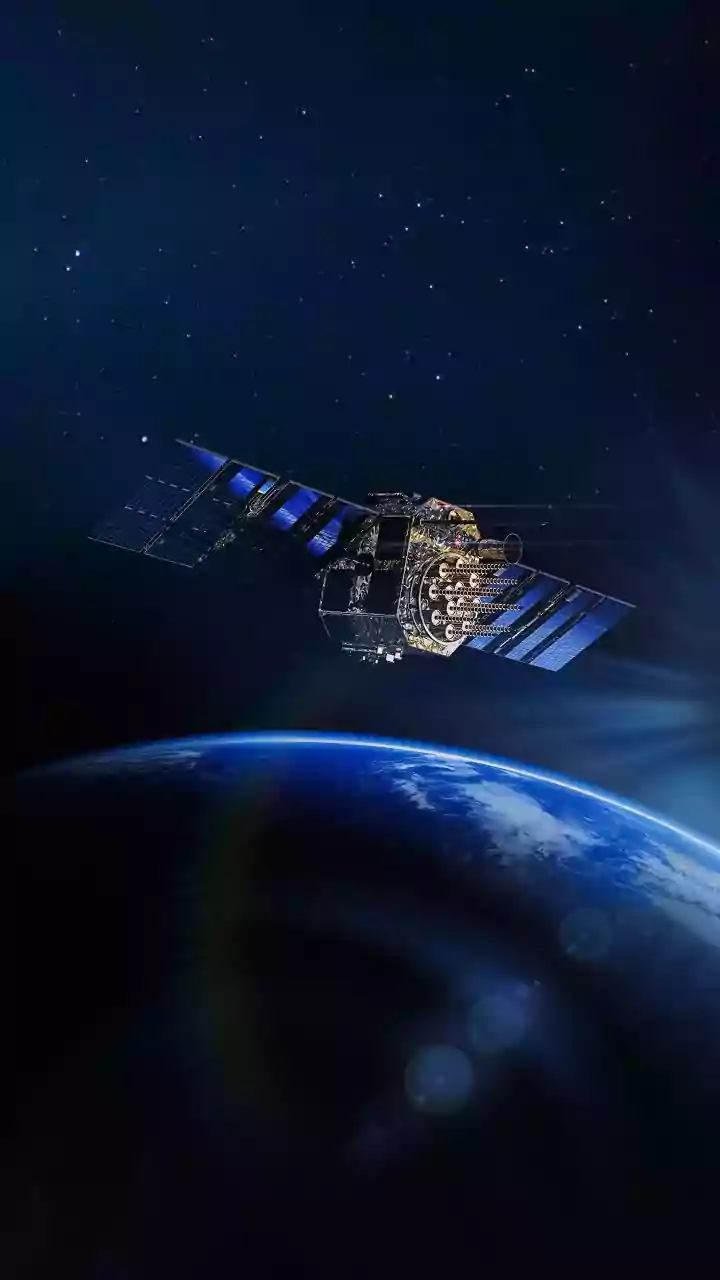
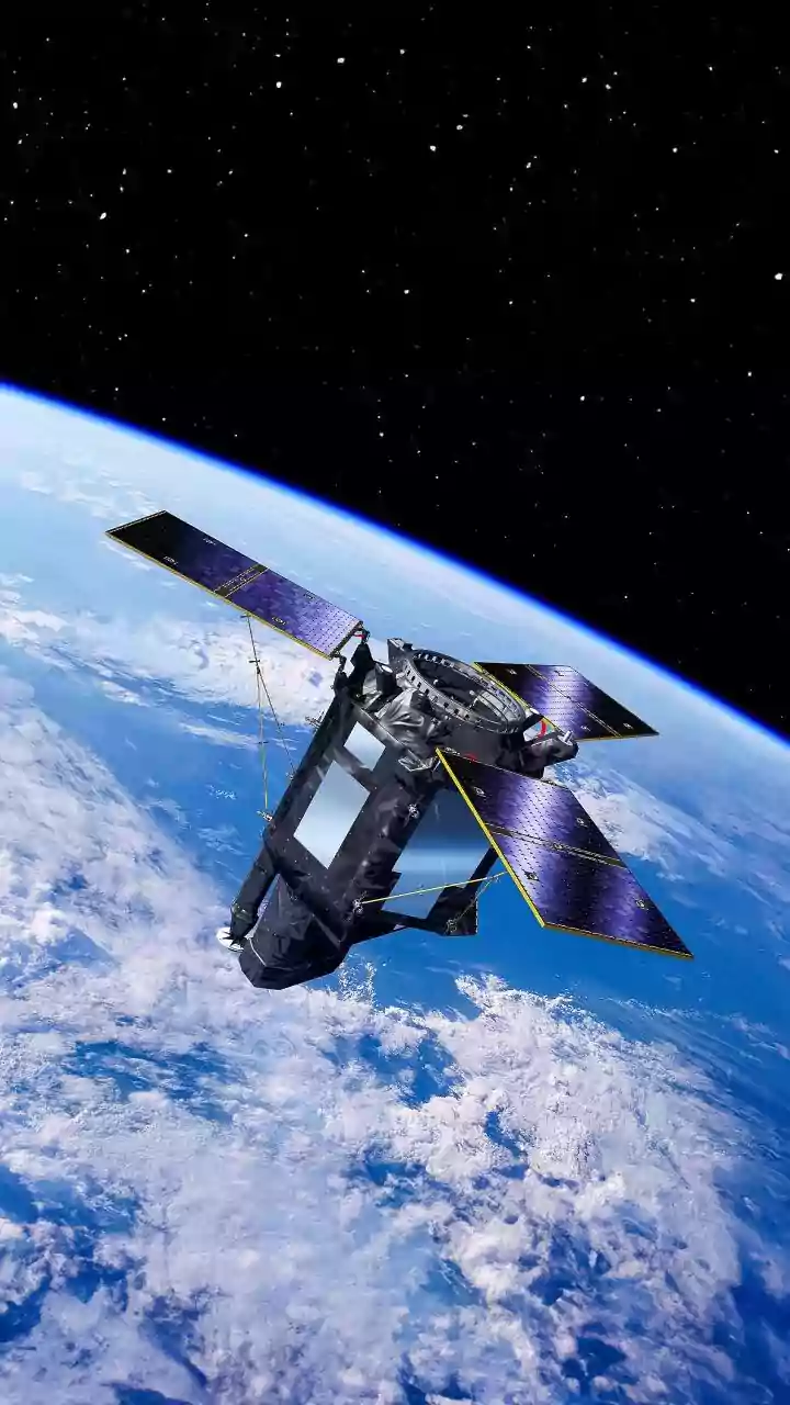
The game is changing with the deployment of dedicated satellite constellations designed solely for wildfire detection. Companies like Germany's OroraTech and initiatives like FireSat, which involves Google and Muon Space, are launching networks of smaller, specialized satellites into Low Earth Orbit. Instead of visible light, these satellites use sophisticated thermal infrared sensors to scan the Earth's surface for heat signatures. This allows them to detect potential fires day or night, and even through smoke. The plan for constellations like FireSat is to have enough satellites in orbit to scan every point on the globe roughly every 20 minutes, drastically shrinking the detection window.
The AI Brain That Never Sleeps
Detecting heat is only half the battle. The Earth is full of hot spots that aren't dangerous wildfires, such as industrial plants, agricultural activities, or even sun-baked rocks. This is where artificial intelligence becomes the crucial second part of the system. The vast streams of data from the infrared sensors are fed into powerful AI algorithms. Trained on millions of images, these AI models learn to differentiate the unique thermal signature of a burgeoning wildfire from countless other false alarms. The AI compares new images to historical data, accounts for weather conditions, and analyzes the shape and growth of the heat source to confirm a fire with high confidence. This entire analysis happens not in hours, but in minutes.
From Orbit to Firefighter's Phone
Once the AI flags a new fire, the system doesn't just sit on the information. An alert is generated and transmitted almost instantly to ground stations. This alert, containing precise geographic coordinates, can be sent directly to the relevant fire agencies and even to firefighters on the ground via a dedicated app. This synergy of infrared detection, AI analysis, and rapid communication can cut detection times from several hours to under five minutes in many cases. For firefighters, this is revolutionary. It means they can be dispatched to a remote fire before the first 911 call is ever made, giving them a critical head start to contain the blaze while it is still small and manageable. This technology works alongside ground-based camera networks, which also use AI to spot smoke, creating a comprehensive web of detection.