



A Disaster Etched in Memory
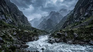
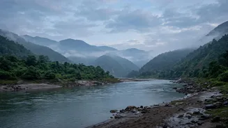
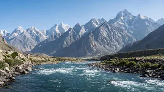
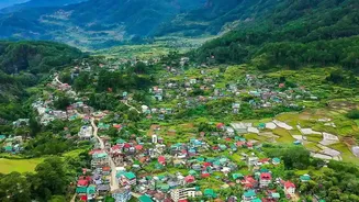
In June 2021, a catastrophic flood tore through Nepal’s Melamchi River valley. The torrent of debris-filled water caused immense destruction, sweeping away homes, bridges, and critical infrastructure in towns like Melamchi Bazaar. The disaster also buried
large parts of the headworks of the Melamchi Water Supply Project, a vital initiative designed to bring drinking water to Kathmandu, setting the project back significantly. In the immediate aftermath, as residents and authorities grappled with the loss of life and property, the scientific community began the urgent task of piecing together the cause of the sudden, violent surge.
The Misleading Seismic Signal
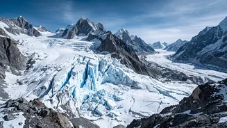
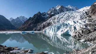
In the high Himalayas, disasters often get mistaken for one another. A massive landslide or glacier collapse can shake the ground with such force that it registers on seismometers, creating a seismic signature that looks like an earthquake. Just this week, in late August 2026, initial reports of a magnitude 4.4 earthquake in Nepal were quickly revised by geological surveys; the seismic waves were not from a tectonic shift, but from the immense energy of a collapsing glacier and subsequent debris flow. This frequent confusion highlights the challenge in pinpointing a single trigger. Early theories for the 2021 Melamchi flood pointed to similarly straightforward culprits: a landslide temporarily dammed the river and then burst, or a glacial lake outburst flood (GLOF) released a sudden pulse of water. These theories provided a clear, contained explanation for the catastrophe.
A 'Perfect Storm' Revealed by New Data
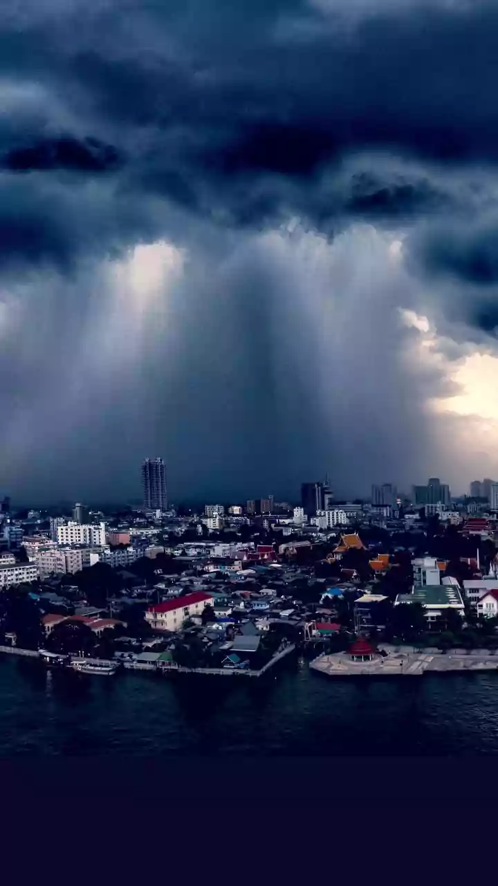
However, more recent and detailed scientific analysis paints a far more complicated picture. A study published in late 2024 by researchers using a decade's worth of high-resolution satellite imagery and digital surface models came to a different conclusion. They found that the Melamchi disaster was not the result of a single landslide or lake breach, but a textbook example of a 'perfect storm' involving multiple interconnected factors. The catastrophe began with unusually heavy monsoon rainfall high in the mountains. This intense rain then triggered a rapid melt of the heavy snowpack left from the previous winter. The combined flood of rainwater and snowmelt was too much for the landscape to handle.
The Threat of a Cascading Hazard
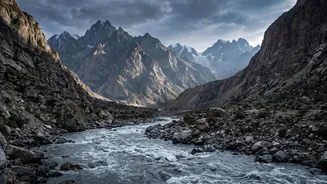
Instead of one large landslide blocking the river, the new research shows that the floodwaters triggered widespread erosion and smaller landslides across the entire upper valley. This is known as a cascading hazard. The landscape, still potentially weakened and fragile from the 2015 Gorkha earthquake, gave way. Vast amounts of sediment—rock, sand, and glacial debris—were washed into the river from countless points, creating an incredibly dense and destructive debris flow. The river didn't just flood; it transformed into a moving mass of land, gouging its own channel deeper and wider, which in turn caused the banks to collapse, adding even more material to the flow. This explains the immense volume of debris that ultimately buried the valley downstream.
Why This New Understanding Is Critical
Shifting the diagnosis from a single-point failure to a complex, climate-driven cascade has profound implications for the millions living in the Himalayan region, including in Indian states like Uttarakhand and Himachal Pradesh. If the primary threat is a random landslide or a specific bursting lake, monitoring efforts can be focused. But if the danger is a combination of heavy rain and snowmelt destabilizing an entire watershed, the challenge is much greater. It requires a different kind of early warning system—one that monitors weather patterns, snow depth, and landscape stability on a much broader scale. The reassessment of the Melamchi flood is a critical lesson that the most significant threats may not come from a single, dramatic trigger but from the compounding pressures of a changing climate on a fragile mountain environment.