


What is a Hanging Glacier?
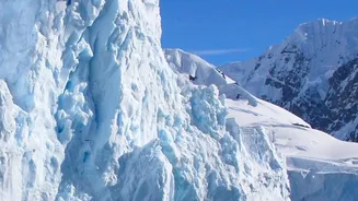
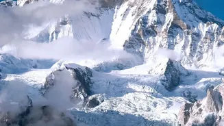
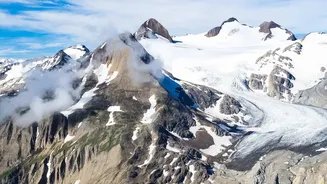
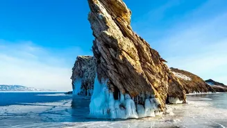
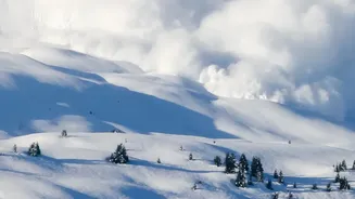
Unlike the massive valley glaciers that flow like slow-moving rivers, a hanging glacier is an ice mass perched precariously on a steep mountain slope. They often form when a larger glacier retreats, leaving behind smaller, unstable remnants on high cliffs.
Because of their steep position, they are not attached to the valley floor and can break off without warning, much like a cornice of snow on a rooftop, but on a catastrophic scale. This inherent instability makes them particularly sensitive to the effects of climate change, such as rising temperatures and shifting rainfall patterns, which can weaken the ice and the rock it clings to.
A Landmark Himalayan Study
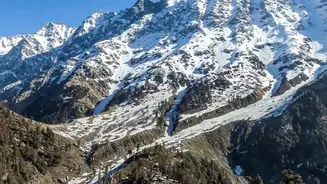
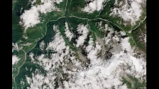
A study published in the journal 'Nature' in April 2026 provided the first comprehensive inventory of these features in Uttarakhand’s Alaknanda basin. Researchers from top Indian institutions like the Indian Institute of Science (IISc) and the Indian Institute of Technology (IIT) Bhubaneswar meticulously used satellite imagery to map 219 hanging glaciers. These glaciers cover over 70 square kilometres and hold a massive volume of ice. Critically, the study found that nearly a third of this unstable ice is concentrated in the Upper Alaknanda basin, a region that includes important pilgrimage sites like Badrinath and Mana. This detailed mapping moves beyond theory, providing a concrete assessment of a growing hazard.
The Devastating Risk of GLOFs
When a hanging glacier collapses, it can trigger a devastating chain reaction. The initial ice avalanche can gather rock and debris, transforming into a fast-moving, destructive flow. Worse still, these avalanches can dam rivers, creating large, unstable lakes behind them. The eventual failure of these temporary dams results in a Glacial Lake Outburst Flood (GLOF), a sudden release of an immense volume of water and debris. GLOFs have discharges many times greater than normal floods and can obliterate anything in their path. The 2021 Chamoli disaster, which was linked to a rock and ice avalanche from a hanging glacier, serves as a tragic reminder of this cascading hazard. Simulations from the recent study suggest a major avalanche in the Badrinath-Mana area could produce debris flows over 50 metres high, overwhelming settlements and infrastructure.
Beyond Floods: Water Security and Development
The threat from hanging glaciers extends beyond immediate disaster risk. The glaciers of the Himalayas are the water towers of Asia, feeding rivers that support hundreds of millions of people. The Alaknanda is a primary tributary of the Ganga, a lifeline for northern India. Accelerated melting and the instability of glaciers disrupt the predictable, seasonal flow of water that agriculture and communities depend on. Furthermore, the study highlights a collision course between increasing risk and rapid development. Researchers project that by 2030, the amount of infrastructure in vulnerable zones could be 120% higher than it was in 2000, with a corresponding 17% rise in the exposed population. This underscores the urgent need to integrate hazard assessments into all future development and land-use planning in the fragile Himalayan region.
A Call for Action and Monitoring
The mapping of these 219 glaciers is not a forecast of doom but a critical call for preparedness. Scientists and disaster management experts stress that while the risk is growing, it can be managed. This requires systematic, continuous monitoring of high-risk glaciers to detect changes in their stability. Developing and implementing robust early-warning systems can provide crucial time for evacuation, as has been proven effective in other parts of the world. The findings from this study provide a vital dataset for planners and policymakers to improve the safety of mountain communities and develop sustainably. It is a scientific alarm bell, urging a shift from reactive response to proactive risk reduction in one of the world's most vulnerable and vital mountain systems.