



An Island of Ice is Born
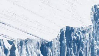
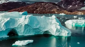
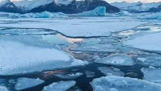
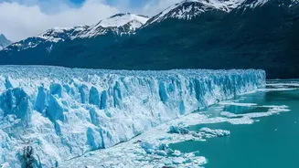
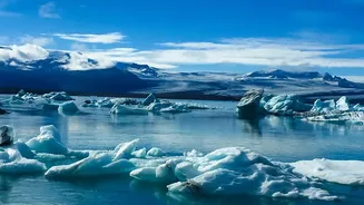
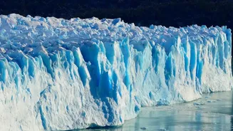
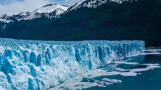
On August 4, 2026, a colossal piece of ice detached from the Petermann Glacier. This was no ordinary iceberg. Covering an area of 76 square kilometres, roughly the size of Manhattan, this new 'ice island' represented the glacier's most significant loss of floating
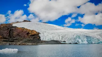
ice in over a decade. The Petermann Glacier is one of Greenland's largest, acting as a massive frozen river that connects the island's immense ice sheet to the Arctic Ocean. Its floating 'ice tongue' has been monitored for years, but this event, the largest of its kind in the Arctic since 2020, provided a stark and sudden confirmation of its growing instability.
The Unblinking Eye of Sentinel-1
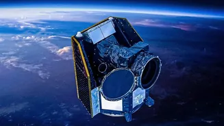
The key witness to this event was the European Space Agency's Copernicus Sentinel-1 satellite. Unlike a normal camera, Sentinel-1 uses radar to see the Earth's surface. This technology is a game-changer for polar research because it can capture images day or night and, crucially, see right through the thick cloud cover that often blankets the Arctic. An image taken on August 3rd showed clear signs of deterioration and cracks along the glacier's centreline. By the next day, a follow-up image confirmed the break was complete; the massive iceberg was adrift. Scientists had been using this satellite data for years, watching the fractures grow and measuring the ice tongue's deformation, but it was these final images that captured the definitive moment of separation.
What the Image Revealed
This was more than just a picture of a big piece of ice. The series of high-frequency images from Sentinel-1 allowed researchers to understand the mechanics of the break in near-real time. By using a technique called interferometry, which can detect minute changes in the ice surface, they could see how the glacier was deforming and how fractures were propagating long before the final snap. This confirmed that the glacier was being destabilised not just by surface melting from warmer air, but also by the powerful influence of warmer ocean water eating away at its base. The satellite data revealed the process in unprecedented detail, providing critical information that helps scientists refine their models of how glaciers react to climate change. This calving event was a powerful, real-world demonstration of processes that were once largely theoretical.
From Greenland to Global Coastlines
While Greenland may seem a world away, its fate is directly connected to coastal communities across the globe, including those in India. The Greenland Ice Sheet contains enough frozen water to raise global sea levels by more than seven metres if it were all to melt. Events like the Petermann calving are a direct contribution to this rise. Already, melting from Greenland is responsible for a significant portion of the observed sea-level increase. For a nation with a long and densely populated coastline, featuring major cities like Mumbai, Chennai, and Kolkata, even seemingly small increases in sea level can lead to more frequent and severe coastal flooding, erosion, and challenges to freshwater resources. The story told by this single satellite image is not just about a remote glacier; it's a critical data point in understanding the future of our shorelines.