

A Self-Sustaining Inferno
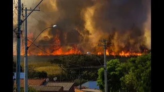
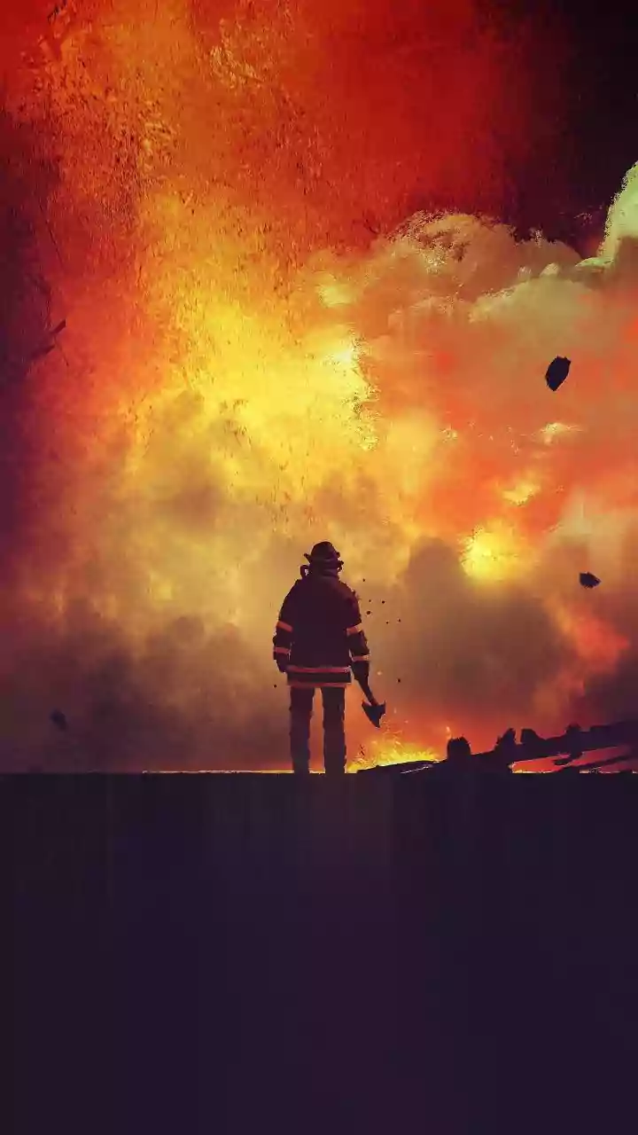
A major wildfire is not just a large version of a campfire; it's a fundamentally different phenomenon. Once a fire grows to a sufficient size and intensity, it stops just reacting to the weather and starts creating its own. Think of it less as a fire and more
as a temporary, mobile volcano. The sheer amount of heat it releases creates powerful updrafts, sucking in cooler air from the sides, which in turn feeds the flames with a constant supply of oxygen. This process allows the fire to build and maintain a level of energy that simple weather changes cannot easily disrupt.
The Myth of the Cooling Night
Firefighters have long relied on cooler nighttime temperatures and higher humidity to help them gain control. This period, known as nighttime humidity recovery, allows vegetation to regain some of the moisture lost during the day, making it less flammable. However, climate change is eroding this crucial window. Nights are warming faster than days, and the air is staying drier. As a result, there is often poor overnight humidity recovery, meaning the fuels—grasses, shrubs, and trees—don't get that chance to remoisten. For a megafire, the immense heat radiated from its core can keep the surrounding ground and fuel dry and hot, overriding the cooling effect of the night air. In these conditions, the fire doesn't 'go to sleep'; it continues to burn actively, sometimes gaining momentum for the next day.
Creating Its Own Destructive Weather
The most dramatic display of a wildfire's power is its ability to generate pyrocumulus or even pyrocumulonimbus clouds—fire-induced thunderstorms. The intense heat and rising smoke plume carry water vapor from burning vegetation and the surrounding air high into the atmosphere. As this plume rises and cools, the moisture condenses into a cloud. These fire clouds can produce strong, erratic winds on the ground, further spreading the fire in unpredictable directions. In the most extreme cases, they can even generate their own lightning, which can ignite new fires miles away from the original blaze.
An Unstoppable Storm of Embers
One of the primary ways large fires spread is through 'spotting'. The fire's intense updrafts can lift burning embers—also known as firebrands—high into the air. These embers, which can be pieces of bark, leaves, or twigs, are then carried by the wind, sometimes for kilometers, landing far ahead of the main fire front. This can start dozens or even hundreds of new 'spot fires', allowing the blaze to easily jump over natural barriers like rivers or man-made containment lines. Even at night, a fire that is actively generating embers can continue to expand its footprint rapidly, making containment efforts extraordinarily difficult and dangerous.
Why a Brief Shower Is Not a Solution
For a fire releasing energy equivalent to a thunderstorm, a brief, light rain shower is little more than a minor inconvenience. While rain can help by wetting fuels and increasing humidity, its effectiveness depends entirely on its duration and intensity. A short downpour may only wet the top layer of the forest floor, with the water often evaporating from the fire's intense heat before it can penetrate the dry, deep layers of fuel underneath. To truly make a difference against a large, established wildfire, a slow, soaking rain that lasts for many hours or even days is required. Anything less can sometimes give a false impression that the fire is out, only for it to rekindle from smoldering logs, stumps, or root systems once the sun comes out and conditions dry again.