




Confirmed: The El Niño-Monsoon Connection
At its core, El Niño is a climate pattern marked by the unusual warming of surface waters in the eastern and central Pacific Ocean. This isn't just a distant weather event; it has global consequences. For India, the connection is well-established and backed
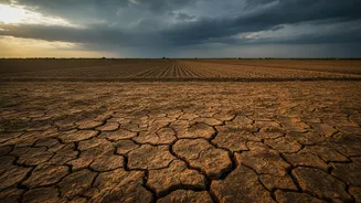
by over a century of data. Historically, a strong El Niño event significantly increases the probability of a weaker, below-average summer monsoon. This happens because the warming Pacific waters alter atmospheric circulation patterns, weakening the trade winds that typically push moisture-laden clouds towards the Indian subcontinent. The result is often suppressed rainfall, which is critical for India's agriculture-dependent economy. Data shows that a significant number of past drought years in India have coincided with El Niño events. The India Meteorological Department (IMD) confirmed that weak El Niño conditions formed in June 2026 and intensified to a moderate strength, acting as a major factor in suppressing the monsoon's circulation.
The Current Outlook: Below-Normal Rainfall
For 2026, forecasters have been watching a developing El Niño closely. The IMD's long-range forecast for the season anticipated its development, predicting below-normal rainfall for the monsoon season at around 90-92% of the Long Period Average (LPA). As of early August 2026, the cumulative seasonal rainfall for the country was 12% below the LPA, which is largely consistent with the initial forecast. After a poor June, July saw a revival of rainfall to near-normal levels, but the distribution was uneven, with many districts still facing deficits. For August, the IMD has projected that rainfall is likely to be below normal again as moderate El Niño conditions persist over the Pacific.
Unclear: Why It’s Not a Simple Equation
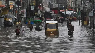
While the link between El Niño and a weaker monsoon is confirmed, it is not a perfect one-to-one correlation. Not every El Niño year results in a severe drought, and that's where the uncertainty lies. The atmosphere is a complex system, and other climatic factors can either amplify or dampen El Niño's drying effect. One of the most significant complexities is that even during an overall dry El Niño summer, the pattern can paradoxically increase the likelihood of short, extreme rainfall events in certain regions. Studies have shown that while El Niño reduces the total number of rainy days, it can increase the intensity of downpours in central India and along the Western Ghats, leading to localised floods and landslides even within a broader drought-like scenario.
The Wild Card: The Indian Ocean Dipole
The most important 'wild card' in this equation is the Indian Ocean Dipole, or IOD. The IOD is the Indian Ocean's own version of El Niño, involving a temperature difference between the western and eastern parts of the ocean. A 'positive' IOD, with warmer waters in the western Indian Ocean (the Arabian Sea), can help the monsoon. It pushes more moisture over India, potentially counteracting the negative effects of an El Niño. A 'negative' IOD does the opposite, worsening dry conditions. The interplay between El Niño and the IOD is crucial for the monsoon's outcome. The World Meteorological Organization has noted that along with a strengthening El Niño, a positive IOD is also forecast to develop between August and October 2026. This could introduce mixed impacts, with the positive IOD possibly offsetting some of El Niño's rain-suppressing influence.