


An Inferno's Unprecedented Power
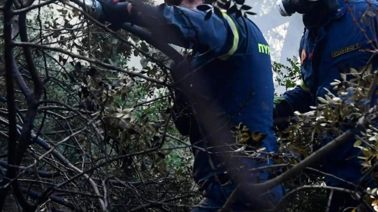
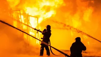
In late July 2026, firefighters battling historic blazes in France's Gironde region witnessed a phenomenon never before recorded in the country. As fires scorched tens of thousands of hectares, the immense heat and smoke didn't just rise—it organized
itself into a towering, self-contained thunderstorm. This event signaled that the fire was no longer just influenced by the weather; it was actively creating it. French officials confirmed the formation of a pyrocumulonimbus cloud, a fire-driven storm that added a terrifying new dimension to the already catastrophic wildfires.
What Is a Fire Cloud?
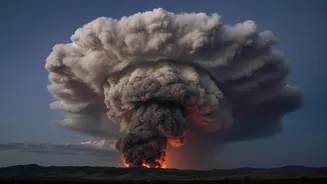
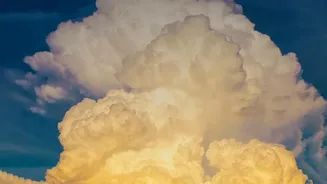
A pyrocumulonimbus (pyroCb), or cumulonimbus flammagenitus, is essentially a thunderstorm generated by a wildfire instead of standard atmospheric heating from the sun. NASA has called it the “fire-breathing dragon of clouds.” These clouds form when the intense heat from a massive blaze creates a powerful updraft, sucking smoke, ash, and water vapor high into the atmosphere. As this superheated column of air rises, it cools, and the moisture condenses around the ash particles, forming a dense, towering cloud that can mushroom into the upper reaches of the atmosphere, sometimes even punching into the stratosphere.
How Fire Forges a Storm
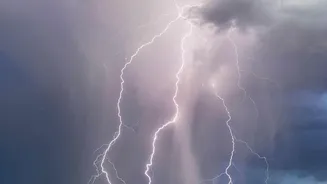
The creation of a fire cloud is a multi-stage process driven by raw power. It begins when a wildfire becomes so large and hot that it generates a column of rapidly rising air. For a pyroCb to form, the atmosphere must have a specific profile: very hot, dry air near the ground with cooler, moister air above it. As the plume of hot air, smoke, and moisture rockets upward, it hits the colder upper layers of the atmosphere, causing water vapor to condense. If the updraft is strong enough, the cloud continues to build vertically. Collisions between ice crystals inside the extremely cold upper parts of the cloud generate electrical charges, just like in a regular thunderstorm. At this point, the smoke plume has transformed into a full-fledged, lightning-producing storm cloud.
A Dangerous Feedback Loop
Pyrocumulonimbus clouds are not just a spectacle; they are incredibly dangerous and complicate firefighting efforts immensely. The storm generates its own powerful and erratic winds, which can suddenly change the fire's direction and speed, spreading embers and flames unpredictably. Furthermore, the lightning it produces can strike miles away from the original blaze, igniting new fires in unburnt territory and rapidly expanding the disaster zone. This creates a terrifying feedback loop where the fire spawns a storm, and the storm, in turn, feeds the fire. Firefighters on the ground are faced with an enemy that is not only on the ground but also in the sky above them.
A Sign of Changing Times
While pyrocumulonimbus clouds have been documented before, particularly in North America and Australia, their appearance in France is a landmark event that signals the increasing intensity of wildfires in Europe. Experts warn that as climate change leads to more frequent and severe heatwaves and droughts, the conditions that allow these fire storms to form will become more common. These events do more than just spread fires; they can inject huge amounts of smoke and pollutants high into the stratosphere, where they can linger for months, impacting air quality and even the ozone layer on a global scale. The fire cloud over France was not just a freak weather event, but a potent symbol of a new and more volatile fire regime taking hold.