

A Storm Born From Fire
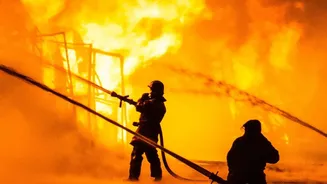
In late July 2026, as a massive wildfire raged through the Gironde region near Bordeaux, French officials witnessed something they had never officially recorded before. The fire, which had already scorched hundreds of square kilometres and forced the evacuation
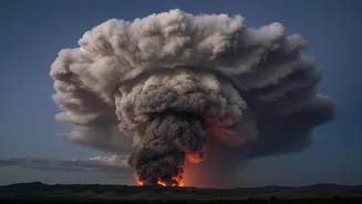
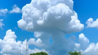
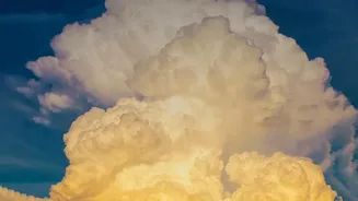
of over 200,000 people, grew so intense that it generated its own weather system. A towering, dark, electrified cloud formed high above the smoke plume. This was no ordinary cloud; it was a pyrocumulonimbus, or pyroCb, a fire-induced thunderstorm that turned the inferno into a self-sustaining, unpredictable monster. More commonly seen above the vast, intense fires of Australia or North America, its appearance in Europe is a startling development.
What Exactly Is a Pyrocumulonimbus?
Imagine a wildfire so hot it acts like a giant chimney, funnelling smoke, ash, and moisture miles up into the atmosphere. That's the engine behind a pyrocumulonimbus, which NASA has called the "fire-breathing dragon of clouds". The process begins when the intense heat from a massive fire creates a powerful updraft. This column of hot air rises rapidly, carrying water vapour from burning vegetation and the surrounding air with it. As the plume ascends to altitudes where the air is very cold, the moisture condenses and freezes, forming a towering thunderhead. Unlike a normal thunderstorm that is driven by solar heating of the ground, a pyroCb is powered entirely by the energy released from the fire below.
The Dangers of a Fire-Breathing Cloud
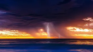
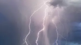
A fire that creates its own weather is a firefighter's nightmare because it becomes dangerously unpredictable. A pyrocumulonimbus cloud can generate its own lightning, which can strike the dry ground kilometres away from the main fire, igniting new blazes and rapidly escalating the crisis. The storm system also creates violent and erratic winds, including powerful downdrafts that can fan the flames and push the fire in completely new directions, trapping crews and communities. In some cases, as the cloud's energy wanes, it can collapse, showering burning embers and debris back onto the ground, causing further flare-ups. The formation of a pyroCb is confirmation that a fire has reached a new level of extreme, uncontrollable behaviour.
A Sobering Milestone for Europe
While French officials, including the national firefighters federation, have stated this is the first recorded pyrocumulonimbus in the country, some agencies are still working to officially confirm the milestone. Regardless, its appearance is a grave signal. Fire experts have noted that the phenomenon is a direct consequence of increasingly intense wildfires fuelled by climate change. Southern Europe is experiencing more frequent and severe heatwaves, creating tinder-dry landscapes that are primed to burn. What was once a rare event confined to specific regions of the world may become a more common feature of European summers. The fire cloud over France is not just a meteorological curiosity; it's a stark visual of how the rules of wildfire are changing.
A Sign of a Hotter Future
Beyond the immediate danger, these fire storms have a lasting impact. They are powerful enough to inject huge quantities of smoke and black carbon particles high into the stratosphere, an atmospheric layer that begins miles above the Earth's surface. These particles can linger for months, travelling across the globe and affecting atmospheric composition and even global weather patterns, in a similar way to a moderate volcanic eruption. Studies show that wildfire smoke in the stratosphere can have a net cooling effect on the planet, but the increasing frequency of these events is a complex variable that scientists are now racing to understand. The emergence of such extreme fire behaviour in France is a powerful reminder that climate change isn't a distant threat but a present-day reality, one that is actively reshaping our world in dangerous and unexpected ways.