
What Exactly Is a Fire Cloud?
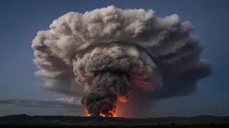
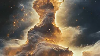
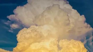
A pyrocumulonimbus, also known as a cumulonimbus flammagenitus (CbFg), is a dense, towering thundercloud that forms over a source of intense heat, like a massive wildfire, a volcanic eruption, or even a nuclear explosion. NASA has called it the "fire-breathing
dragon of clouds." Unlike a typical thunderstorm that draws its energy from warm, moist air near the ground, a pyrocumulonimbus is born from the violent updraft of a fire. The smoke, ash, and water vapour released by the blaze are violently funnelled upwards, creating the building blocks for this unique and dangerous weather system. These clouds can reach astounding altitudes of 10 to 15 kilometres, punching through the lower atmosphere into the stratosphere.
The Recipe for a Firestorm
The formation of a pyrocumulonimbus requires a perfect storm of conditions. First, the fire itself must be exceptionally large and hot, releasing a colossal amount of energy to create a powerful, rising column of air. As this superheated plume of smoke and gas ascends, it pulls in cooler air and expands. When it reaches a high enough altitude, the low atmospheric pressure causes it to cool rapidly. The moisture within the plume—both from the atmosphere and from the vegetation consumed by the fire—condenses around particles of ash and soot, forming a cloud. This condensation releases more heat, which makes the cloud even more buoyant and accelerates its upward surge, supercharging the system into a full-blown thunderstorm.
Lightning, Wind, and Unpredictability
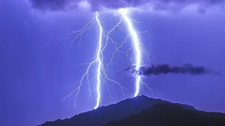
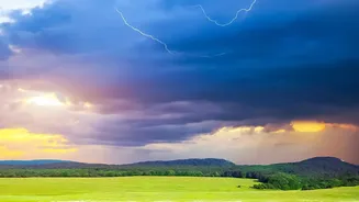
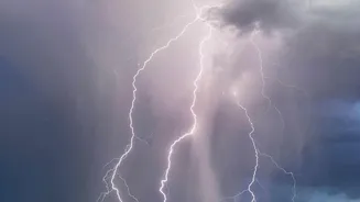
Once formed, a pyrocumulonimbus makes an already perilous situation far worse. One of its greatest dangers is lightning. The collision of ice crystals and water droplets within the turbulent cloud generates static electricity, resulting in lightning strikes that can ignite new fires many kilometres away from the original blaze. These storms also generate violent and erratic winds. Powerful downdrafts, created when rain evaporates and cools the air, can slam into the ground and spread out in all directions, causing the fire's direction to change in an instant. This makes the fire’s behaviour completely unpredictable, posing a grave threat to firefighters on the ground and cutting off evacuation routes. In some extreme cases, these chaotic winds can even spawn fire tornadoes.
A Dangerous Feedback Loop
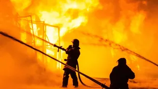
The pyrocumulonimbus doesn't just sit above the fire; it actively feeds it. The storm's powerful updraft sucks in huge amounts of fresh air, essentially fanning the flames and intensifying the combustion at the fire's base. This creates a dangerous feedback loop: the stronger fire creates a more powerful cloud, which in turn makes the fire even more ferocious and difficult to control. This self-sustaining system can become so chaotic that it makes firefighting operations nearly impossible. Visibility can drop to zero in the dense smoke, and the erratic winds can overturn even heavy fire response vehicles, as has been documented in Australia. Firefighters may be forced to suspend aviation support and retreat, accepting what some French officials have called a point of 'operational impossibility'.
A Growing Global Concern
While once considered a rare phenomenon largely confined to places like Australia and North America, pyrocumulonimbus events are being observed with increasing frequency worldwide. The conditions that create them—hot, dry, and windy weather—are becoming more common and intense due to climate change. In recent years, these fire-generated storms have been documented during devastating wildfires in California, Canada, and for the first time on record, in France during the summer of 2026. As global temperatures continue to rise and droughts worsen, scientists warn that these extreme fire events are likely to become more common, posing a significant and evolving challenge to communities and fire agencies across the globe.