


Seeing the Unseen
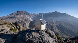
To truly understand a volcano, scientists need to monitor its every subtle change—from the ground swelling and cracking to the heat it releases and the gases it exhales. Since many active volcanoes are in remote, hazardous locations, getting up close
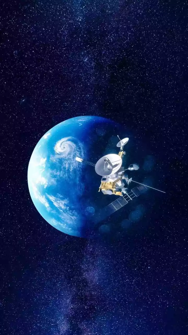
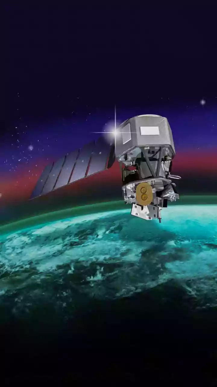
isn't always an option. This is where remote sensing comes in. Using instruments on satellites, aircraft, and on the ground, researchers can analyse a volcano by studying the electromagnetic spectrum, which includes everything from radio waves to gamma rays. Each wavelength tells a different story, providing crucial data that, when combined, helps create a comprehensive picture of a volcano's health and the likelihood of an eruption.
Infrared: The Wavelength of Heat
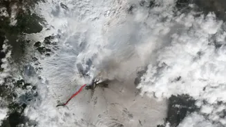
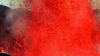
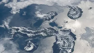
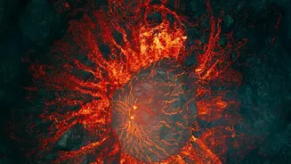
While our eyes see visible light, we feel infrared radiation as heat. Volcanologists use this to their advantage with thermal imaging. Instruments like the Moderate Resolution Imaging Spectroradiometer (MODIS) aboard NASA satellites can scan the globe for high-temperature 'hot spots'. These can reveal new lava flows, growing lava domes, or areas where magma is rising close to the surface, long before it glows red to the naked eye. Near-infrared and shortwave-infrared can detect cooling lava that is still incredibly hot but no longer visibly glowing. This technology is invaluable for monitoring eruptions in real-time, day or night, and assessing how lava flows are advancing. Combining various infrared bands also helps scientists analyse the composition of volcanic rock and ash.
Radar: Measuring the Ground's Heartbeat
As magma moves and collects beneath a volcano, it can cause the ground surface to bulge, sink, or shift. These changes are often tiny—just centimetres—but they are critical warning signs. To detect this deformation, scientists use a powerful technique called Interferometric Synthetic Aperture Radar (InSAR). Satellites equipped with radar emit microwave pulses towards the Earth and record the returning signals. By comparing two images of the same area taken at different times, scientists can create a map showing exactly how the ground has moved. Because radar can penetrate clouds and works day or night, InSAR provides a reliable way to monitor a volcano's 'breathing', even in remote and weather-prone regions like the Aleutian Islands. This gives a detailed picture of the pressure building up inside.
Ultraviolet: A Window into Volcanic Gases
Volcanoes release a cocktail of gases, and changes in their composition and quantity can signal a change in volcanic activity. Sulphur dioxide (SO2) is a particularly important gas to monitor, as a spike in its emissions often precedes an eruption. While most volcanic gases are invisible, SO2 strongly absorbs ultraviolet (UV) light. Scientists use instruments called correlation spectrometers (COSPEC) and other UV spectrometers, often mounted on aircraft or on the ground, to measure the amount of UV light from the sun that passes through a volcanic plume. By calculating how much UV is absorbed, they can determine the amount of SO2 being released, offering vital clues about the movement of magma deep below.
Visible Light: What Our Eyes (and Cameras) Tell Us
Though advanced wavelengths provide hidden data, traditional observation in the visible spectrum remains essential. Webcam monitoring provides real-time visual confirmation of activity, such as ash plumes, steam, or landslides. The colour of a volcanic plume, while not revealing the gas itself, can offer clues. Plumes full of water droplets appear white, while plumes with tiny sulfate aerosol particles can scatter blue light, giving them a bluish tint. When backlit by the sun, this same light-scattering effect can make the plume appear orange or brown. During massive eruptions, sunlight passing through ice crystals and ash high in the atmosphere can even create surreal, rainbow-like iridescence, a powerful reminder of the volcano's ability to reshape both land and sky.