




What is NavIC?
NavIC, which stands for Navigation with Indian Constellation, is India's indigenous regional satellite navigation system, developed by the Indian Space Research Organisation (ISRO). It was born out of the need for strategic autonomy, ensuring India doesn't
have to rely on foreign systems like the US-owned GPS, especially during times of conflict when access could be restricted, a lesson learned during the Kargil War. NavIC is designed to provide accurate positioning and timing services across India and a region extending about 1,500 kilometres beyond its borders. It offers two types of services: a Standard Positioning Service (SPS) for all users and an encrypted Restricted Service (RS) for authorised users, like the military.
The Urgent Need for an Upgrade
A navigation system's strength lies in its constellation of satellites; a minimum of four are needed for a device to calculate its precise position. However, in recent times, India's NavIC constellation has been operating below this crucial threshold due to some of the original seven satellites aging or facing technical issues with their onboard atomic clocks. With only three satellites fully operational for positioning, the standalone NavIC service has been inactive, making the launch of new satellites not just an upgrade, but a necessity to restore the system's full capabilities. The failure of the NVS-02 mission in 2025 further heightened the urgency.
Enter NVS-03: The Next Generation
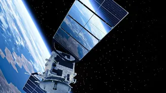
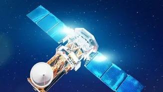
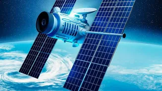
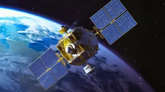
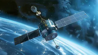
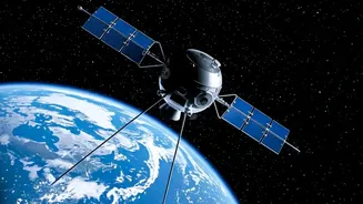
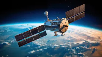
The NVS-03 is a second-generation navigation satellite, part of a series designed to replace older satellites and bolster the NavIC system. Weighing around 2,232 kg, it is heavier and designed for a longer mission life of about 12 years. One of its most significant upgrades is the inclusion of an indigenously developed rubidium atomic clock. These clocks are incredibly precise, and even a tiny error can throw off positioning by several metres. Developing this technology in-house reduces reliance on foreign components that had caused issues in earlier satellites.
A Stronger Signal for Everyone
The most transformative feature of NVS-03 and other second-generation satellites is the addition of a new L1 frequency band. This is the same band used by most civilian GPS-enabled devices, including common smartphones, wearables, and low-power gadgets. Previously, NavIC used L5 and S bands, which required special, more complex chips. By adding the globally interoperable L1 band, NavIC signals will become far more accessible to a wide range of consumer devices without needing hardware modifications. This move is expected to dramatically increase the civilian adoption of NavIC for everything from vehicle tracking and disaster management alerts to everyday navigation.
Why a Self-Reliant System Matters
Strengthening NavIC is about more than just better maps; it's a cornerstone of India's strategic independence. Having a robust, homegrown navigation system ensures that the country's defense forces have secure, encrypted, and uninterrupted access to precise positioning data for missiles, troop movements, and naval operations, a capability that cannot be compromised by foreign powers. Beyond defense, it underpins critical national infrastructure, aiding in disaster management by providing early warnings, enabling real-time train tracking, and synchronizing power grids. A fully functional NavIC reduces our collective dependency on foreign technology and fosters a domestic ecosystem for developing new applications.