






A Shared Lifeline and a Common Peril
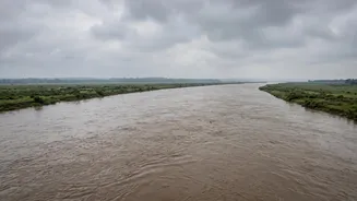
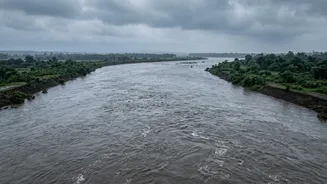
The story of flooding in the Gangetic plains is a tale of shared geography. Major river systems like the Kosi, Gandak, and Ghaghra originate in the Himalayas, pass through Nepal, and then flow into the densely populated plains of India. For millions,
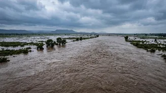
these rivers are a source of water and livelihood. However, during the monsoon season, this shared resource becomes a shared peril. A sudden surge of water in Nepal's mountains, whether from extreme rainfall or a glacial lake outburst, doesn't respect international borders. This water is destined for India, making cross-border cooperation not just a diplomatic nicety, but a matter of survival for downstream communities. The key question is never just if the water is coming, but how, how fast, and whether the downstream channels are prepared to handle it.
More Than Just Rain
A flood event that begins in Nepal's highlands is transformed by the time it reaches the plains of Bihar and Uttar Pradesh. The initial force of a flash flood may dissipate over distance, but other factors come into play. The seriousness of the threat depends on the specific river basin involved; a flood in the Kosi system primarily threatens eastern Bihar, while a surge in the Trishuli river raises alarms along the Gandak corridor in UP and Bihar. Furthermore, the condition of the river in India is critical. If the Ganga is already running high, it can slow the outflow from its tributaries like the Gandak, causing water to back up and worsen flooding. Local rainfall, the volume of water coming from other tributaries, and the amount of sediment carried by the river all combine to determine the final impact. Thus, a flood from Nepal is only one ingredient in a complex and dangerous recipe.
The Barrage Conundrum
At the heart of the downstream flow equation are the barrages—massive gates built across rivers to control water for irrigation and flood management. Structures like the Kosi Barrage and the Gandak Barrage at Valmikinagar are critical control points. Built by India on land often leased from Nepal, these barrages are governed by decades-old treaties. In theory, they are tools for mutual benefit. In practice, their management is a source of constant negotiation and occasional friction. Opening the gates is essential to allow a flood surge to pass through safely and prevent water from accumulating dangerously upstream. However, this requires seamless, real-time communication and trust between officials on both sides of the border. Decisions on gate operations, maintenance, and silt management are regular topics at joint committee meetings.
A History of Complex Cooperation
The framework for India-Nepal water cooperation was established through treaties like the Kosi Agreement (1954) and the Gandak Agreement (1959). These agreements laid out responsibilities for construction and maintenance, with India taking the lead on many projects. Over the decades, these arrangements have been criticized in Nepal for perceived inequities, with concerns raised about whether the benefits have been shared fairly. This has sometimes created a trust deficit that can complicate urgent flood management efforts. While formal mechanisms exist for sharing hydrological and meteorological data, experts argue for a more integrated system. Moving from simply forecasting floods to continuous, shared threat intelligence—monitoring glaciers, landslides, and river behaviour in real-time—is seen as the necessary next step to manage the growing risks posed by climate change.
The Human Cost Downstream
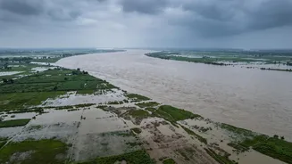
When communication falters or the water volume overwhelms the system, the consequences are felt most acutely by the communities living along the riverbanks in Bihar and Uttar Pradesh. For them, a flood warning from Nepal is a signal to prepare for the worst. Embankments can be put under strain, riverbeds can rise due to heavy sediment deposits, and vast tracts of farmland can be inundated. In response to recent flood threats originating in Nepal, Indian authorities have placed districts like West Champaran, East Champaran, Maharajganj, and Kushinagar on high alert and deployed disaster response teams. These recurring emergencies highlight the vulnerability of the region and the urgent need for a more robust, transparent, and cooperative approach to managing the rivers that bind the two nations together.