


A Race Against the Clock
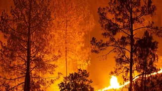
For decades, firefighters have raced against a clock they couldn't see. The first sign of a new wildfire often came from a member of the public, a distant watchtower, or a passing plane. While satellites became part of the toolkit, they were never perfect
tools for the job. Most systems in use were designed for other purposes, like monitoring weather patterns or broad geological changes, not for hunting small ignitions. This meant they often passed over a given location only a few times a day, giving a small, manageable spark hours to grow into a raging, uncontrollable inferno. Furthermore, their cameras often lacked the high resolution needed to spot a fire smaller than a football field, and their vision could be completely obscured by heavy smoke, leaving incident commanders effectively blind during the most critical early moments of a response. The result was a system of detection that was fundamentally reactive, always a step behind the fire itself.
A New Set of Eyes in the Sky
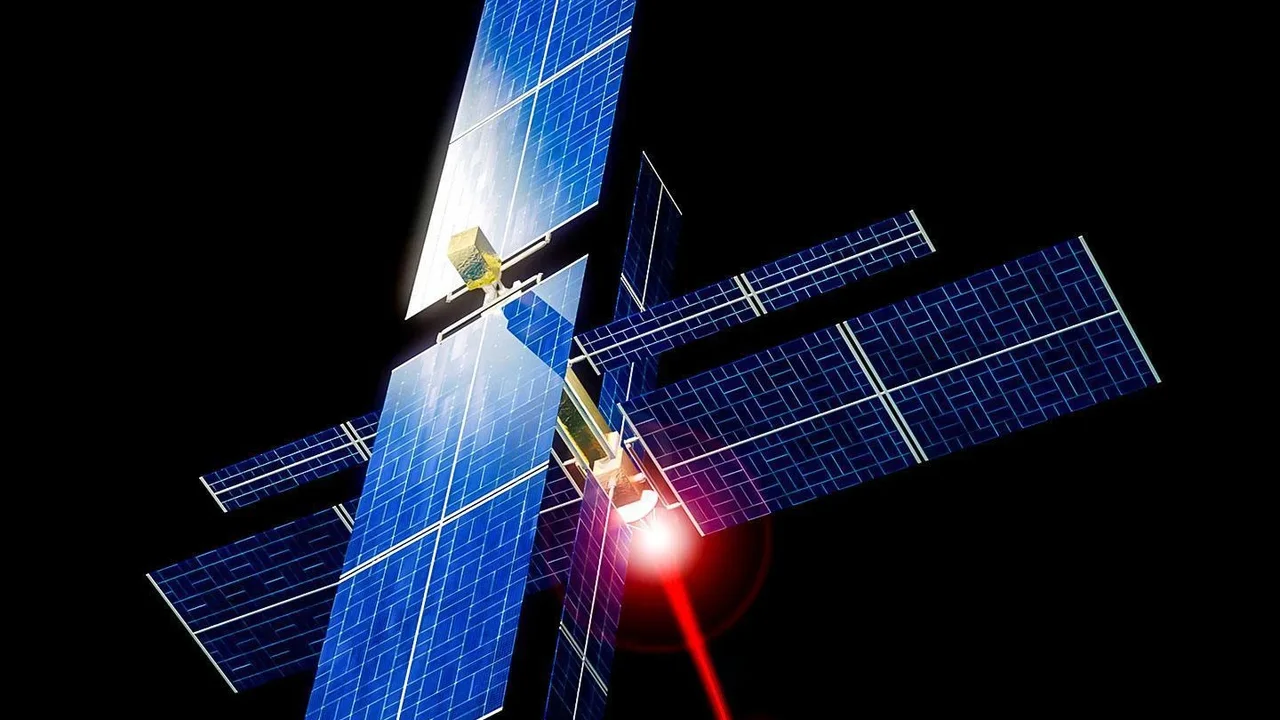
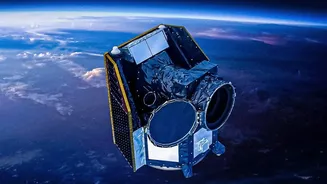
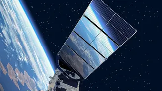
Enter the FireSat program, a mission designed from the ground up to solve these exact problems. Spearheaded by the nonprofit Earth Fire Alliance (EFA) in a landmark collaboration with Google and satellite manufacturer Muon Space, it represents the first satellite system purpose-built for detecting and monitoring wildfires. In July 2026, the program took a giant leap forward with the successful launch of its first three operational satellites from Vandenberg Space Force Base in California. This launch was not a shot in the dark; it built on the success of a prototype mission in March 2025. That single satellite proved the system's potential by spotting a small, cool-burning fire in Oregon that was completely invisible to existing, less sensitive satellite systems. These three new satellites are the beginning of an ambitious plan: a full constellation of more than 50 satellites that will eventually blanket the entire globe.
Seeing Through the Smoke with AI
What makes FireSat a game-changer comes down to a combination of superior technology and intelligent design. Firstly, the satellites are equipped with advanced multispectral infrared sensors, which essentially see heat instead of visible light. This is critical, as it allows them to detect fires day or night and, most importantly, to peer directly through thick plumes of smoke that would block conventional cameras. Secondly, the system is incredibly precise. It is capable of identifying a heat signature from a fire as small as 5x5 meters—roughly the size of a large car or a garden shed. Thirdly, there is the element of speed. The satellites operate in low-Earth orbit (LEO), which allows for much faster revisit times than geostationary satellites that sit far out in space. Once the full constellation is operational, it will be able to scan every single point on Earth approximately every 20 minutes, a monumental leap from the twice-daily updates common with older systems. This firehose of data is then processed by Google's artificial intelligence, which compares new images to a history of previous ones and factors in weather data to distinguish a genuine new wildfire from a false alarm before sending an alert to first responders.
The Path to Full Coverage
The launch in July 2026 is a beginning, not an endpoint. Following their deployment, the three new satellites entered a crucial three-month commissioning and calibration period. During this phase, engineers test the systems, fine-tune the sensors, and ensure the data product workflow is seamless, from the satellite to the end-user on the ground. Once this is complete, they will begin delivering operational data to fire agencies. This initial trio will dramatically improve coverage but is still just the first step. The plan is to continue launching more FireSats in stages over the coming years. The goal is to build out the full constellation of over 50 satellites by 2030. As more satellites join the network, the time between observations for any given spot on the globe will shrink, moving closer and closer to the near real-time ideal of a 20-minute refresh rate for the entire planet.