



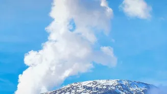
A Primal Tourist Draw
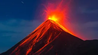
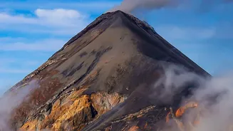
Volcanoes are one of nature’s most awesome and humbling spectacles. From the dramatic landscapes of Tongariro National Park in New Zealand to the iconic silhouette of Mount Fuji in Japan, these geological wonders are major tourist attractions. People
are fascinated by the sheer power, the creation of new land, and the dramatic, often beautiful, scenery. However, this beauty comes with inherent risk. An active volcano is a dynamic and unpredictable environment. What appears as a quiet mountain can hide a complex system of molten rock, gas, and pressure building beneath the surface. This is why a simple rule exists for anyone planning a visit: the volcano’s current status dictates everything.
Decoding the Alert System
To communicate the threat posed by a volcano, scientific agencies around the world use a Volcano Alert Level System (VALS). While the specifics can vary by country—New Zealand, for instance, uses a 0-5 scale, while the United States uses a four-tiered system—the principle is universal. These systems are designed to provide a simple, clear way for scientists, emergency managers, and the public to understand a volcano's current state. The U.S. Geological Survey (USGS) system, for example, uses two parallel scales: one for people on the ground (Alert Levels) and another for aviation (Aviation Color Codes). These are often paired, like WATCH/ORANGE, to give a complete picture of the hazards.
The Scientists Behind the Warnings
Alert levels are not set arbitrarily. They are the result of constant, 24/7 monitoring by teams of volcanologists at observatories around the world. These scientists use a wide array of instruments to keep a finger on the pulse of a volcano. Seismometers detect earthquakes, which can indicate magma moving underground. GPS stations and satellite radar (InSAR) measure tiny changes in the ground's shape, which can swell as a magma chamber fills. Gas sensors analyze the types and amounts of gases like sulfur dioxide being released. All this data flows into volcano observatories, where experts interpret the signals to assess whether a volcano is quiet, showing signs of unrest, or preparing to erupt.
From Green to Red: What Each Level Means
Using the widely adopted USGS framework as an example, the alert levels directly impact what you can and can't do. At NORMAL (Green), a volcano is in its typical non-eruptive state, and access is generally open. At ADVISORY (Yellow), the volcano is showing signs of elevated unrest above background levels. While an eruption isn't certain, scientists are watching closely. Access might be partially restricted. The WATCH (Orange) level signifies heightened unrest with an increased potential for eruption, or that a minor eruption is already underway with limited hazards. At this stage, expect significant access restrictions and the establishment of exclusion zones. The highest level, WARNING (Red), means a hazardous eruption is imminent, underway, or suspected. This triggers immediate evacuation orders for surrounding areas and a complete ban on visitor access.
When Access is Denied
These systems have real-world consequences for travellers. For example, popular tourist destinations like Kīlauea in Hawaii or Mount Agung in Bali, Indonesia, have seen access completely shut down during periods of high alert. When an alert level is raised, authorities will define exclusion zones around the volcano's summit or active vents. These zones are not optional. They are based on scientific modelling of potential hazards like lava flows, pyroclastic flows (fast-moving clouds of hot ash and gas), and lahars (volcanic mudflows). Ignoring these warnings has proven fatal in the past, and emergency services will not risk their own lives to rescue people who have deliberately entered a closed area.