





A New Eye in the Sky
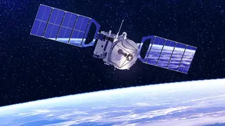
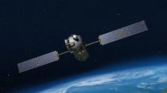
Imagine spotting a fire not when it’s a raging inferno, but when it’s no bigger than a small room. This is the promise of FireSat, a purpose-built satellite constellation designed specifically for wildfire detection. Developed by a global coalition led
by the nonprofit Earth Fire Alliance, with key contributions from partners like Muon Space and Google, FireSat is not just another weather satellite. It's a dedicated firefighting tool in orbit. Traditional methods for spotting fires, like watchtowers or public reports, can be slow. Existing satellites often have major limitations; they may only pass over a specific area once or twice a day and often lack the resolution to see anything smaller than a football field. By the time a fire is that large, it's already a serious problem. FireSat is designed to change this paradigm entirely.
Seeing Heat, Not Just Smoke
The secret to FireSat's power lies in its technology. The satellites are equipped with advanced, high-resolution multispectral infrared (IR) sensors. Instead of looking for smoke, which can be obscured by clouds or difficult to spot from space, these sensors look for heat. They can detect the thermal signature of a fire as small as 5x5 metres. This data is then processed by sophisticated artificial intelligence on the ground. The AI compares new images with thousands of previous ones, factoring in weather and other local conditions to confirm if a hotspot is truly a new fire, which helps reduce false alarms from things like solar panels or hot springs. This combination of sensitive IR detection and smart analysis allows FireSat to find fires day or night, through smoke, and long before they are visible to the naked eye.
The Critical Advantage of Speed
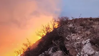
In firefighting, every minute counts. A small blaze that can be extinguished by a single crew can explode into an uncontrollable megafire within hours. Current satellite systems can have a delay of up to 90 minutes or more between when a fire starts and when an alert is sent. FireSat aims to dramatically shorten that timeline. When the full constellation of over 50 satellites is operational, it will be able to scan nearly the entire Earth's surface with updates every 20 minutes or less. This near real-time monitoring provides first responders with the crucial head start they need. Alerts can be sent directly to fire management agencies, allowing them to dispatch resources while the fire is still small and manageable. This early detection not only saves lives and property but also significantly reduces the immense cost and environmental damage associated with large-scale wildfires, a recurring threat in many Indian states.
From Concept to Constellation
FireSat is rapidly moving from an ambitious idea to an operational reality. A prototype satellite launched in March 2025 successfully tested and validated the system's design, even detecting a small fire that other systems missed. The first three operational satellites followed with a launch in the summer of 2026, marking a major milestone for the project. These initial satellites are undergoing calibration and will soon begin feeding data to fire agencies. The plan is to deploy the full constellation in stages over the coming years, with the goal of having it fully operational by 2030. Of course, challenges remain, including the significant cost of launching and maintaining a large satellite network and ensuring the vast amounts of data can be seamlessly integrated into existing emergency response workflows. However, the project represents a powerful collaboration between nonprofit, private, and public sectors to tackle a global problem.