

The Planet's Rain Gauges
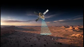
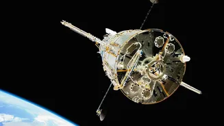
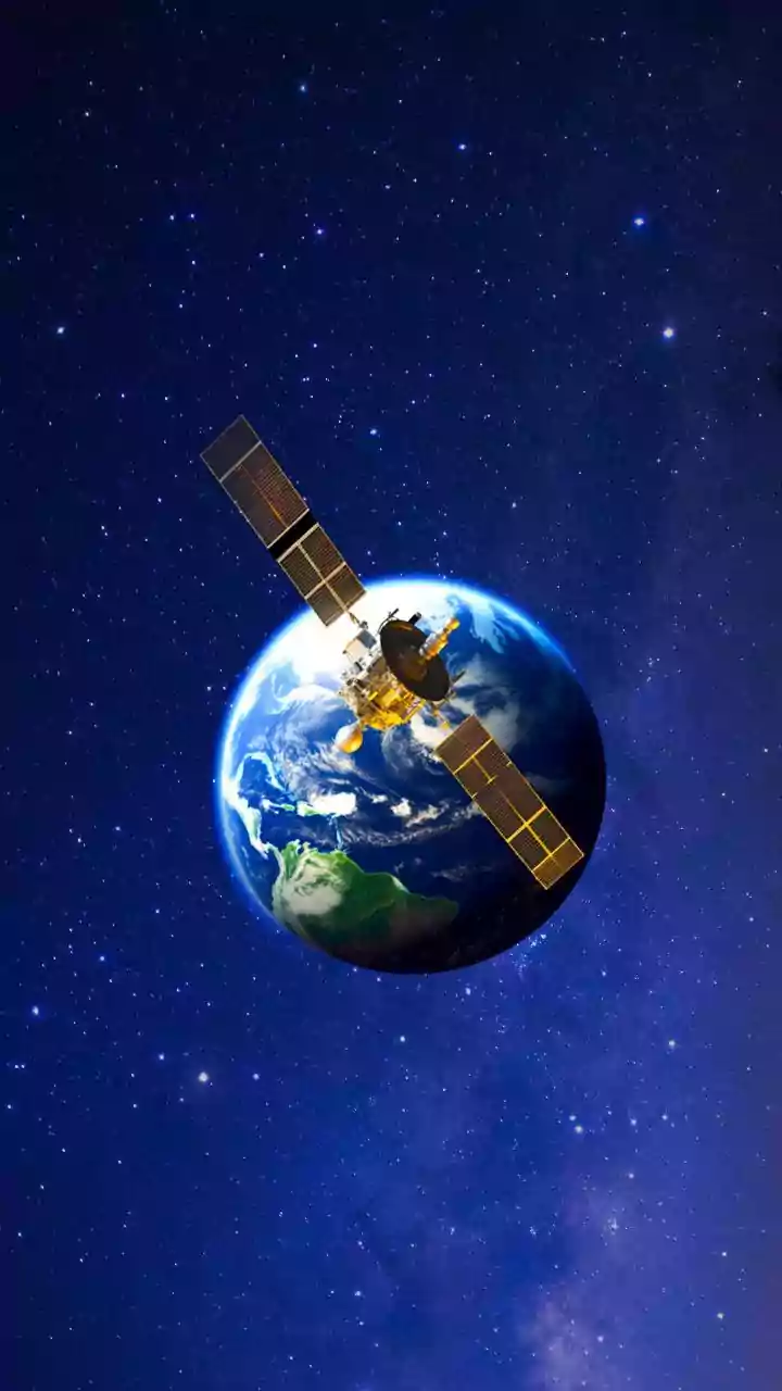
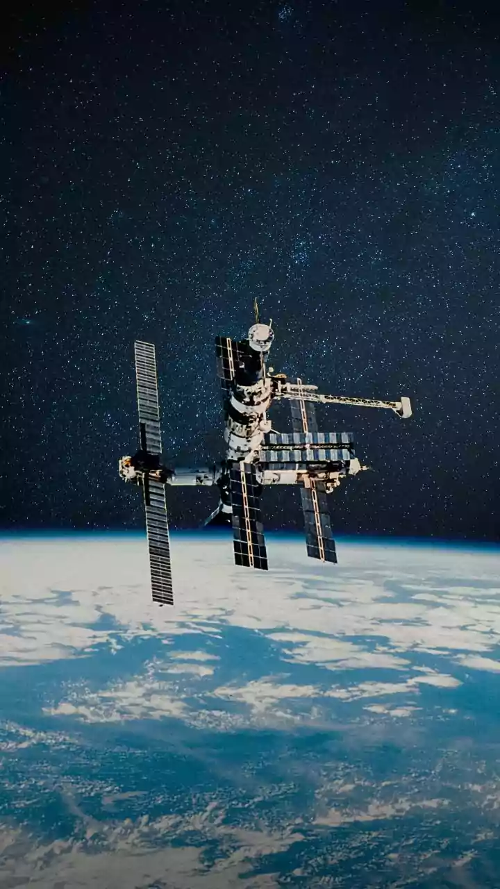
High above the Earth, a fleet of sophisticated satellites is constantly monitoring our planet’s water cycle. Missions like NASA's Global Precipitation Measurement (GPM) and the joint US-French Surface Water and Ocean Topography (SWOT) satellite act as our eyes
in the sky. They don't just take pictures; they use advanced radar and radiometric instruments to measure everything from the amount of water vapour in the atmosphere to the precise height of our oceans, rivers, and lakes. In India, satellites from the INSAT series are crucial for the India Meteorological Department (IMD) to forecast weather. These satellites continuously provide data on cloud patterns, sea surface temperatures, and humidity, painting a comprehensive picture of the entire water system.
Decoding the Monsoon
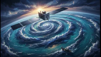
For India, predicting the monsoon is a national obsession and a necessity. This is where water-cycle satellites become indispensable. The data they collect on ocean temperatures and atmospheric moisture provides the critical inputs that supercomputers at the IMD use to forecast the monsoon's arrival, intensity, and distribution across the country. Satellite data helps scientists track the formation of low-pressure systems over the ocean, identify moisture-laden clouds, and predict their movement towards the mainland. More accurate forecasting allows everyone from farmers planning their planting season to officials managing reservoir levels to make better-informed decisions. While satellite products sometimes struggle to perfectly estimate very heavy rainfall, they consistently outperform ground-based observations for overall prediction and are crucial for early warning systems for floods and landslides.
A Fisherman's Best Friend
For generations, fishermen have relied on instinct and experience. Today, many are guided by space technology. The Hyderabad-based Indian National Centre for Ocean Information Services (INCOIS) uses satellite data on sea surface temperature and chlorophyll—an indicator of phytoplankton, the base of the marine food chain—to identify Potential Fishing Zones (PFZs). These are ocean areas where fish are likely to congregate. These advisories are then sent directly to nearly 1.4 million fishermen via mobile apps and special receivers. The impact has been transformative. Fishermen report that the advisories have cut their search times by up to 70%, which saves enormous amounts of fuel and time. This not only increases their earnings but also reduces the carbon footprint of the fishing industry and promotes more sustainable practices.
Charting Safer Seas
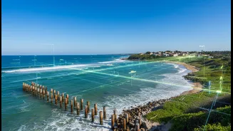
The same satellites that track rain and fish are also making maritime navigation safer and more efficient. Global Positioning System (GPS) satellites provide the precise location data that all modern ships rely on for navigation. But other satellites provide crucial real-time information on ocean conditions, including wave heights, current speeds, and wind patterns. Shipping companies use this data for weather routing, allowing massive cargo vessels to avoid dangerous storms and optimise their routes for fuel efficiency. This satellite surveillance also helps in monitoring for piracy, tracking vessels for security, and coordinating search and rescue operations during emergencies, providing a vital safety net for those at sea.
The Next Frontier: NISAR
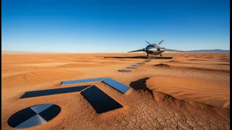
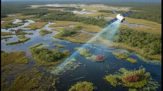
The future of water monitoring is even more promising. The recently launched NASA-ISRO Synthetic Aperture Radar (NISAR) mission, a landmark collaboration between the US and Indian space agencies, is set to revolutionise our understanding of Earth's water resources. NISAR's advanced radar can peer through clouds and vegetation to measure changes in soil moisture, map floodplains with incredible accuracy, and even detect changes in groundwater levels by measuring tiny shifts in the land surface. This will provide invaluable data for managing agriculture, predicting floods and droughts, and ensuring the sustainable use of our most precious resource in the face of a changing climate.