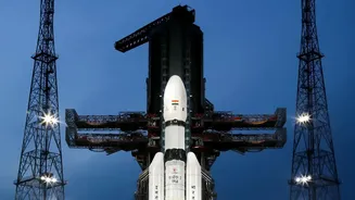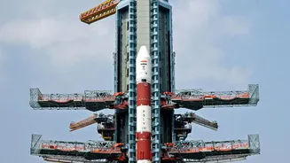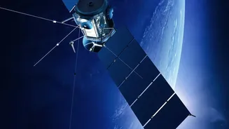






India's self-reliant navigation capabilities have received a major boost. The Indian Space Research Organisation (ISRO) has confirmed that the NVS-03 satellite has successfully reached its final geosynchronous orbit after a series of complex maneuvers.
A Crucial Maneuver in the Sky
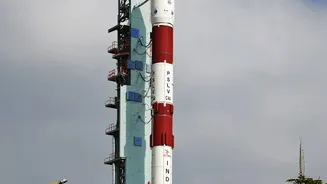
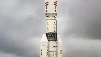
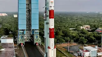
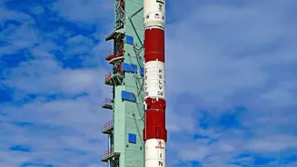
Launched aboard a GSLV rocket, the NVS-03 satellite was initially placed into an elliptical transfer orbit. Over the past week, ISRO's scientists and engineers have been meticulously firing the satellite's onboard Liquid Apogee Motor (LAM) in stages. These carefully calculated engine burns progressively raised the satellite's orbit, culminating in its successful placement in a circular geosynchronous orbit nearly 36,000 km above the Earth. ISRO has confirmed that the satellite's health is normal following these critical operations, paving the way for the next phase of in-orbit testing before it is officially commissioned into the NavIC constellation.
What is NVS-03?
NVS-03 is a next-generation satellite designed to ensure the continuity and enhancement of NavIC services. It is part of a new series intended to replace the original fleet and augment the system's overall performance. A key highlight of NVS-03 is its indigenously developed rubidium atomic clock. These clocks are the heart of any navigation system, providing the ultra-precise timing information necessary to calculate a user's position. Past reliance on imported clocks led to some operational challenges, making this homegrown technology a significant step towards full self-sufficiency. Furthermore, NVS-03 transmits signals in the L1 frequency band, in addition to the existing L5 and S bands. The L1 band is widely used by civilian GPS receivers in smartphones and wearable devices, a feature that will greatly expand NavIC's interoperability and adoption among the general public.
The Power of NavIC
NavIC, which stands for Navigation with Indian Constellation, is India’s answer to the American GPS. It is an independent regional navigation system designed to provide accurate positioning and timing services across the Indian mainland and a region extending about 1,500 kilometres beyond its borders. Unlike global systems like GPS, NavIC is focused specifically on serving India and its neighbourhood, ensuring reliable coverage even in remote areas. The system provides two types of services: the Standard Positioning Service (SPS) for all users and a Restricted Service (RS), which is encrypted, for authorised users like the military and security agencies.
Why an Independent System Matters
Having a sovereign navigation system is a matter of immense strategic importance. It reduces India's dependence on foreignndependent systems, which could be denied or degraded during times of geopolitical tension. This independence is crucial for military operations, including precisionndguided munitions, troop movements, and surveillance. Beyond defence, NavIC is vital for critical national infrastructure. It provides precise timing signals essential for banking networks, power grids, and telecommunications. It also aids disaster management by providing early warnings and assisting in search and rescue operations, as well as enabling efficient fleet management for transportation services.
What This Means for You
While the strategic implications are vast, the strengthening of NavIC has tangible benefits for everyday life. With the inclusion of the L1 band, more and more consumer devices, from smartphones to smartwatches, will be able to use NavIC signals. This means more accurate and reliable navigation when using mapping apps, especially in dense urban areas where signals can be weak. The system is already being used for tracking public transport, over 10,400 locomotives, and thousands of fishing vessels to provide emergency alerts. As the NavIC constellation is fully restored and expanded, its integration into daily life is set to grow, making 'Made in India' navigation a seamless part of our digital experience.