

A Constant Watch From Orbit
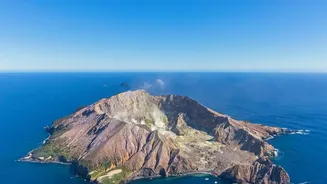
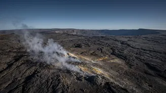
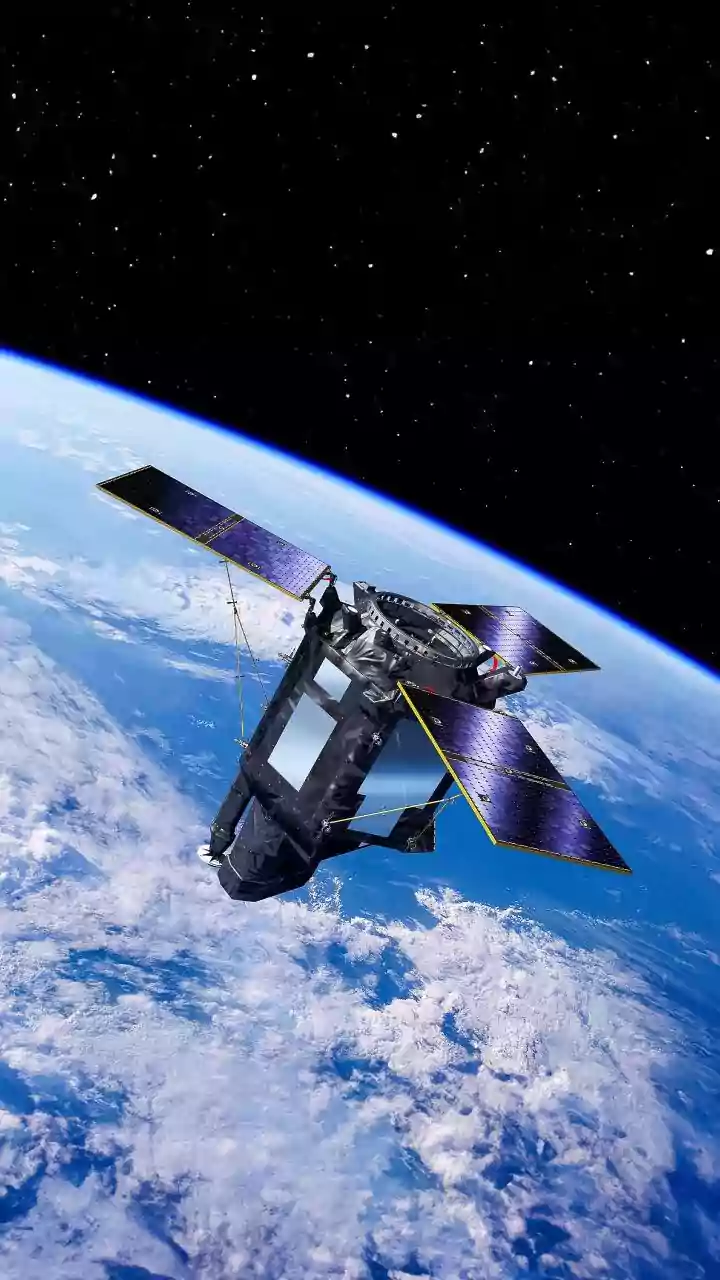
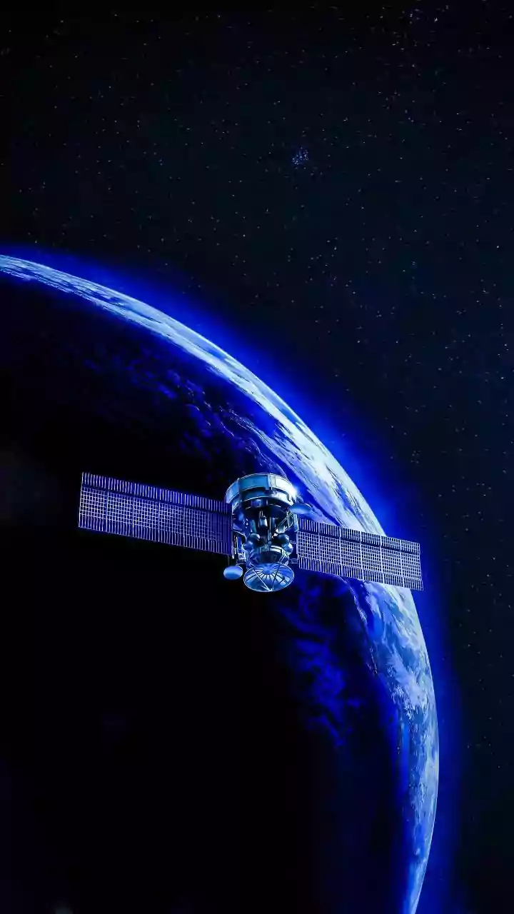
There are over 1,500 potentially active volcanoes on Earth, many in remote locations that are difficult and dangerous to monitor from the ground. Satellite-based remote sensing has become a critical tool, providing a global perspective that was previously
impossible. Unlike ground instruments, which provide data for a specific point, satellites can survey vast areas, including entire volcanic regions, in a single pass. This constant, wide-angle view allows scientists to keep a watchful eye on volcanoes around the world, including those that were previously unmonitored. This capability is vital for detecting the first signs of unrest and understanding how different volcanoes behave over time.
Detecting Invisible Ground Swelling
One of the most powerful tools in space-based monitoring is Interferometric Synthetic Aperture Radar, or InSAR. This technique uses radar waves, which can penetrate clouds and work day or night, to create highly detailed maps of the Earth's surface. By comparing two radar images of the same volcano taken at different times, scientists can detect minute changes in the ground level, with accuracy down to a few millimetres. Before an eruption, magma accumulating underground can cause the surface to bulge or inflate like a balloon. InSAR can measure this swelling, providing a crucial clue that a volcano is waking up. This was famously used to detect a bulge around the Three Sisters volcanoes in Oregon and has become essential for monitoring volcanoes in places like Alaska and Nicaragua where ground sensors are sparse.
Tracking Heat and Hazardous Gases
Besides tracking ground movement, satellites are equipped with sensors that can detect other tell-tale signs of volcanic unrest. Thermal imaging systems, like the MODIS Thermal Alert System, scan the globe for high-temperature 'hot spots'. These can indicate the presence of new lava flows, growing lava domes, or magma rising closer to the surface. Other sensors are designed to measure volcanic gas emissions, such as sulphur dioxide, which often increase before an eruption. Satellites can also monitor changes to the landscape, like melting ice on a volcano's summit or shifts in crater lakes, which can be early indicators of an impending event. This multi-faceted approach provides a more complete picture of a volcano's status.
Real-World Impact on Safety and Science
The application of this technology has had a profound impact. In Iceland, satellite imagery was instrumental in tracking the ash plumes from the Eyjafjallajökull and Grímsvötn eruptions, helping to manage the immense disruption to air travel. Volcanic ash is extremely hazardous to jet engines, and satellites provide the only way to track these massive clouds in near real-time. More recently, the NASA-ISRO satellite NISAR has been monitoring the eruption of the Krasheninnikov volcano in Russia, which had been dormant for nearly 500 years. In October 2026, satellite data revealed two new islands forming around Indonesia's Anak Krakatau. And near Masaya volcano in Nicaragua, where two million people live nearby, satellite data is helping scientists understand a complex underground magma system to better forecast future activity.
The Future of Volcanic Forecasting
As technology advances, so does our ability to monitor these geological giants. The growing number of satellites from public agencies and commercial companies provides an increasing wealth of data at higher resolutions and more frequent intervals. The combination of different sensor types—radar, thermal, and optical—creates a powerful synergy for assessing volcanic activity. Scientists are now moving toward automated systems that can process this data and send out alerts 24/7, enabling faster response times. While ground-based monitoring with GPS and seismometers remains vital, space-based observation has revolutionized volcanology, offering a global safety net and an unparalleled window into the forces that shape our planet.