





A New Eye in the Sky
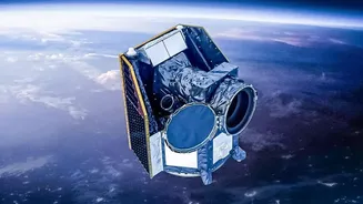
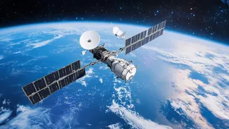
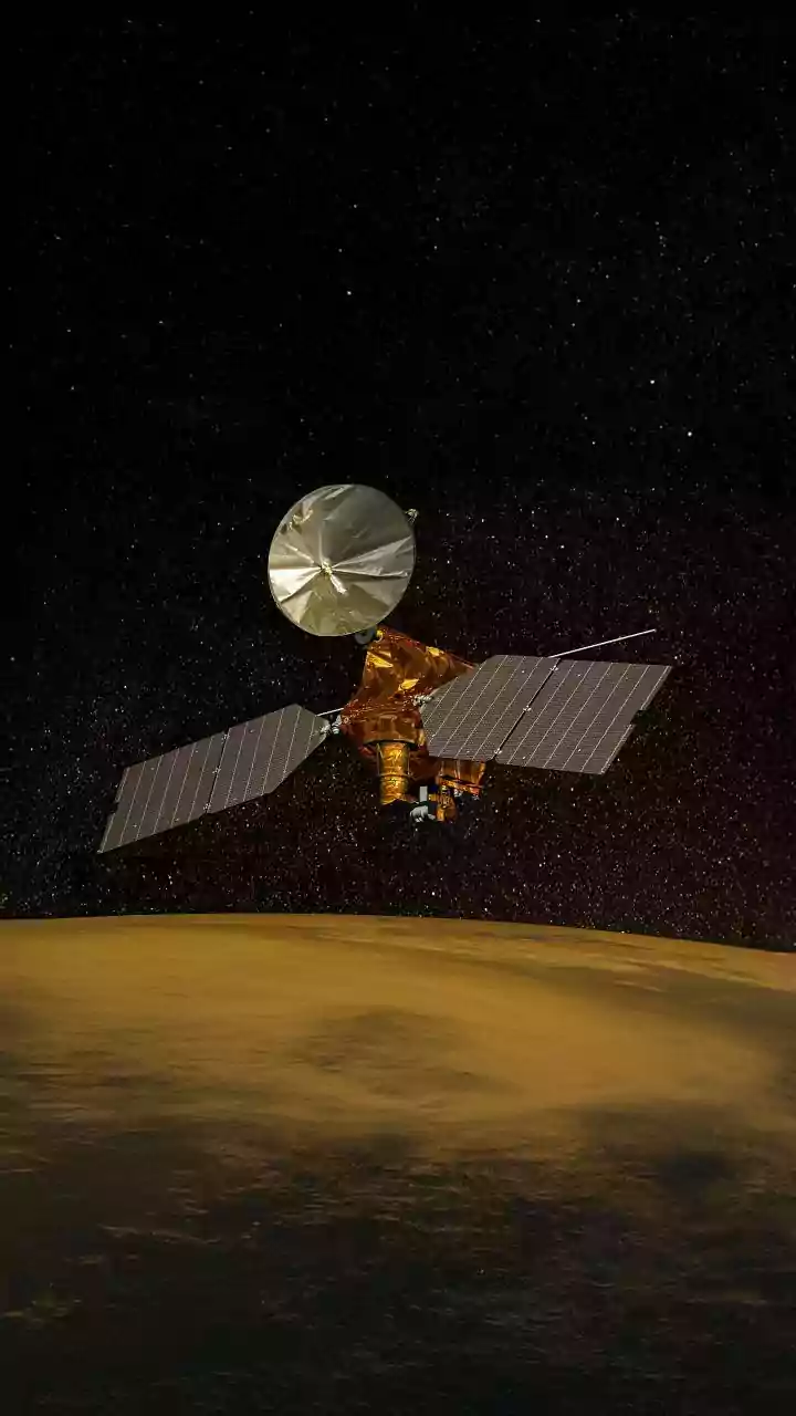
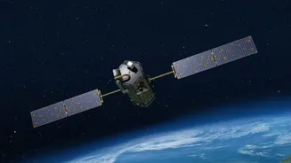
The FireSat program represents a significant leap forward in our ability to monitor the planet for emerging threats. Unlike existing weather or multi-purpose satellites that might spot a fire by chance, FireSat is a purpose-built constellation designed
specifically to detect and track wildfires. This initiative is led by the non-profit Earth Fire Alliance (EFA), with crucial collaboration from partners like Google Research and the satellite manufacturer Muon Space. The goal is to move beyond the current limitations of firefighting, where detection can be slow and often comes only after a fire has grown substantially. The first three operational satellites, launched in July 2026, build on the success of a prototype sent into orbit in 2025 which proved the system's effectiveness.
The Global Constellation
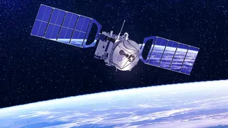
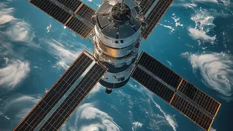
These three new satellites are not working in isolation; they are the first operational pieces of a much larger and more ambitious puzzle. The ultimate vision for the FireSat program is a constellation of over 50 satellites that will provide a near-constant watch over the entire globe. When fully deployed, this network will be able to scan every point on Earth roughly every 20 minutes. This high frequency, or 'revisit rate', is a game-changer. Current systems may only pass over a given location a few times a day, leaving a massive window for a small spark to escalate into a devastating inferno. The global plan, coordinated by the EFA, aims to create a comprehensive dataset available to fire agencies, scientists, and governments worldwide, fostering a unified approach to a shared problem.
Seeing Through the Smoke
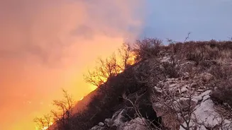
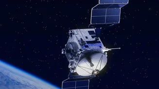
What makes FireSat so effective is its specialised technology. The satellites are equipped with high-resolution multispectral infrared sensors. These instruments are tuned to detect the specific heat signatures of fires, allowing them to spot blazes as small as 5x5 metres—roughly the size of a large car. This is a dramatic improvement over older satellite technology, which could often only detect fires once they were larger than a soccer field. Furthermore, the system uses artificial intelligence to analyse the data in near real-time. The AI compares new images to previous ones, considers weather factors, and learns to distinguish an actual fire from other heat sources, significantly reducing false alarms.
From Detection to Action
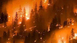
Spotting a fire is only the first step. The true value of the FireSat system lies in its ability to get actionable information to firefighters on the ground as quickly as possible. The near real-time data on a fire's location, size, and intensity can transform emergency response. Instead of relying on delayed reports or visual confirmation, which can be hampered by smoke and difficult terrain, incident commanders can receive precise digital alerts. This allows for more strategic deployment of resources, helping to contain fires while they are still small and manageable. For nations like India, which experiences thousands of forest fires annually, access to such a global, rapid-response system could be invaluable in protecting vulnerable ecosystems and communities.