


Eyes in the Sky
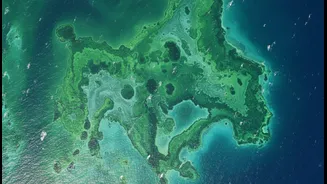
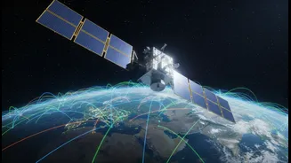
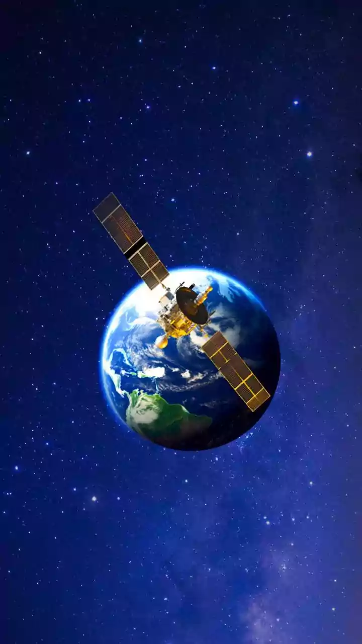
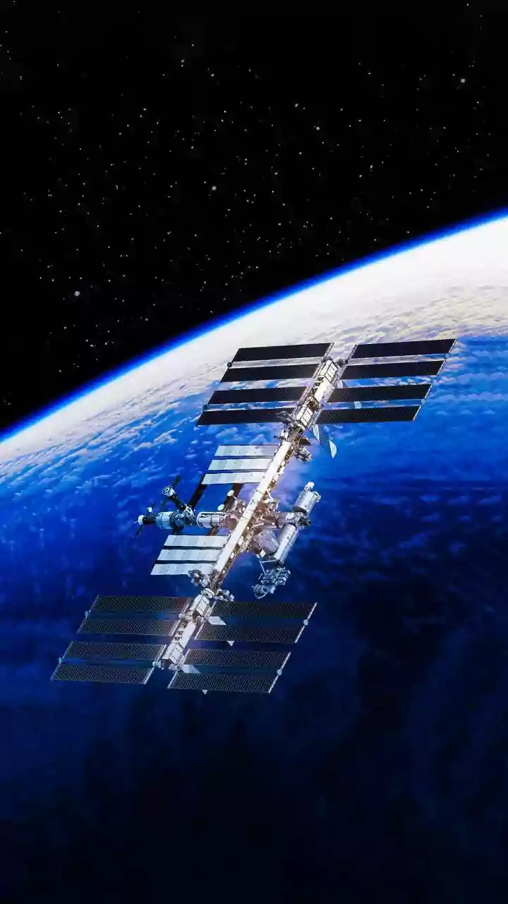
Earth observation is the gathering of information about our planet's physical, chemical, and biological systems via remote sensing technologies, primarily satellites. These spacecraft are equipped with advanced sensors that capture data from the Earth's
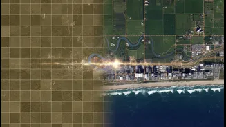
surface, atmosphere, and oceans. Unlike a single photograph, which offers just a snapshot in time, the power of modern Earth observation lies in its continuity. Programs like the US-led Landsat, which has been operating since 1972, and Europe's Copernicus program provide a consistent, decades-long record of our planet. This uninterrupted stream of data allows scientists, governments, and businesses to move beyond static maps and analyze trends, track changes, and understand processes over long periods.
The Power of Repetition
The key to this entire endeavor is what's known as temporal resolution, or the 'revisit rate'—how often a satellite can capture an image of the same location. For slow-moving changes like urban sprawl or glacial retreat, a revisit every few weeks might be enough. But for fast-unfolding events like wildfires, floods, or crop failures, a higher frequency of observation is critical. Constellations of smaller satellites operated by commercial companies like Planet Labs have revolutionized this aspect, providing daily imagery of the entire globe. This ability to measure the same spot repeatedly allows analysts to pinpoint not just what changed, but when and how quickly, providing actionable insights for disaster response, agriculture, and security.
From Farm to Flood Zone
The applications of this technology are vast and impact daily life in numerous ways. In agriculture, satellite data helps farmers monitor crop health, optimize water use, and predict yields, bolstering global food security. Urban planners use the data to monitor city growth and its environmental impact. In disaster management, near real-time imagery is invaluable for assessing the extent of damage from floods or wildfires and coordinating rescue efforts. Environmental scientists rely on this long-term record to track deforestation, monitor water quality in lakes and reservoirs, measure the retreat of polar ice, and understand the wide-ranging effects of climate change. This data, much of which is made freely available by agencies like NASA and the European Space Agency, has driven countless scientific advances and created significant economic value.
A Sharper, Smarter Future
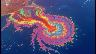
The future of Earth observation is moving towards even greater capability. New satellites are being equipped with more advanced sensors, including radar that can see through clouds and at night, and hyperspectral imagers that capture data from across a wider spectrum of light, revealing the chemical composition of what they see. Furthermore, the integration of artificial intelligence and machine learning is transforming how we use this flood of data. AI algorithms can now automatically scan terabytes of imagery to detect changes, identify objects, and make predictions, turning raw data into ready-to-use intelligence. This allows for faster, more accurate insights, from spotting illegal fishing vessels to predicting crop yields on a national scale. As constellations grow and technology advances, our ability to monitor and manage our planet will only become more powerful.