








India's Unblinking Eye in the Sky
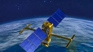
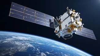
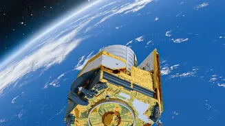
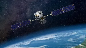
Launched in early September 2026, the Earth Observation Satellite-05 (EOS-05) is a powerful spacecraft designed and operated by the Indian Space Research Organisation (ISRO). Unlike most other observation satellites that orbit closer to the Earth and pass
over a location only periodically, EOS-05 is special. It operates from a geosynchronous orbit, approximately 36,000 kilometres above the Earth's surface. This high-altitude perch allows it to match the Earth's rotation, effectively hovering over the Indian subcontinent. This position gives it the unique ability to provide near-continuous, real-time monitoring of a vast geographical area, a capability that previous Indian satellites in lower orbits could not offer. Also known as GISAT-1A, this satellite is a significant leap forward, replacing a similar satellite lost during a launch in 2021 and marking a major success for ISRO's GSLV rocket program.
The Geosynchronous Advantage
The key difference with EOS-05 lies in its orbit. Most Earth observation satellites, like those in the Cartosat or RISAT series, are in Low Earth Orbit (LEO), which means they circle the planet multiple times a day. While they can capture high-resolution images, they can only see a specific location for a few minutes at a time, with hours or even a day passing before they revisit the same spot. EOS-05 eliminates this long waiting period. From its fixed vantage point, it can image the entire Indian landmass roughly every 30 minutes, and focus on specific areas of interest for imaging in as little as five minutes. This persistent observation is revolutionary for tracking rapidly developing events. Whether it's a cyclone forming over the Bay of Bengal or unusual troop movements along a border, EOS-05 provides a constant stream of information where timing is critical.
A Guardian During Natural Disasters
One of the most critical civilian applications of EOS-05 is in disaster management. India is prone to a variety of natural calamities, including floods, cyclones, landslides, and forest fires. The satellite's ability to provide frequent updates is invaluable for emergency response teams. By tracking the movement and intensity of a cyclone, authorities can issue more accurate and timely evacuation warnings. During major floods, it can map the extent of the inundation, helping relief agencies identify the worst-hit areas and plan rescue operations more effectively. This near real-time monitoring capability allows for a proactive approach to disaster management, potentially saving countless lives and minimising damage by giving authorities the crucial information they need, exactly when they need it.
Strengthening National Security
Beyond its civilian uses, EOS-05 plays a vital role in bolstering India's national security. Its state-of-the-art imaging payloads provide a 'Hawkeye' in the sky, capable of 24/7 surveillance of India's borders and maritime interests. The satellite's high-resolution imagers can detect changes on the ground, offering strategic awareness of activities in sensitive regions. According to defence experts, this constant vigil gives the armed forces significantly more reaction time compared to relying on satellites with long revisit gaps. The ability to continuously monitor critical infrastructure, troop movements, and coastal areas provides a powerful deterrent and an intelligence advantage that is indispensable in today's geopolitical landscape.
Benefits for Agriculture and Environment
The data from EOS-05 also brings significant benefits to the agricultural sector. The satellite can monitor vast tracts of farmland to assess crop health, detect pest infestations, and monitor soil moisture levels. This information helps in predicting crop yields, planning irrigation, and promoting sustainable farming practices. Furthermore, the satellite is a crucial tool for environmental monitoring. It can track deforestation, monitor the health of water bodies, and assess changes in land use over time. This comprehensive data supports better management of India's precious natural resources and helps in formulating effective environmental policies.