





A Sharper View of Martian Weather
Scientists have created the most detailed maps yet of Martian surface temperatures, providing fresh insights into the planet's complex climate. A recent study by Indian scientists from the Physical Research Laboratory (PRL) in Ahmedabad utilized data
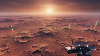
from the Emirates Mars Mission's 'Hope' spacecraft to analyze temperature variations. By focusing on two of Mars's largest impact basins, Hellas and Argyre, researchers were able to demonstrate a direct link between the planet's topography and its atmospheric patterns. This new understanding helps explain the extreme temperature swings on Mars, which can range from a relatively mild 22 degrees Celsius to a frigid -123 degrees Celsius. These drastic shifts are primarily due to Mars's very thin atmosphere, which is unable to retain and distribute heat effectively, causing the surface to heat up and cool down with dramatic speed.
How Geology Creates Climate
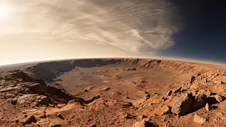
The core finding of the research is that massive geological features have a profound impact on local and regional climates. The Hellas and Argyre basins, which are immense craters left by ancient impacts, are not just passive features; they actively influence atmospheric circulation. Researchers observed large-scale temperature patterns that move like waves across the planet's surface. The shape and depth of these basins appear to dictate the complexity of these thermal waves. For instance, the Argyre basin was dominated by a simpler wave pattern, while the deeper and larger Hellas basin showed more complex and varied patterns depending on the season. This is compelling evidence that the sheer physical landscape of Mars—its highlands and lowlands—channels winds and energy, creating distinct climatic zones much like mountain ranges and vast plains do on Earth.
The Science of Thermal Inertia
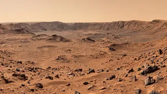
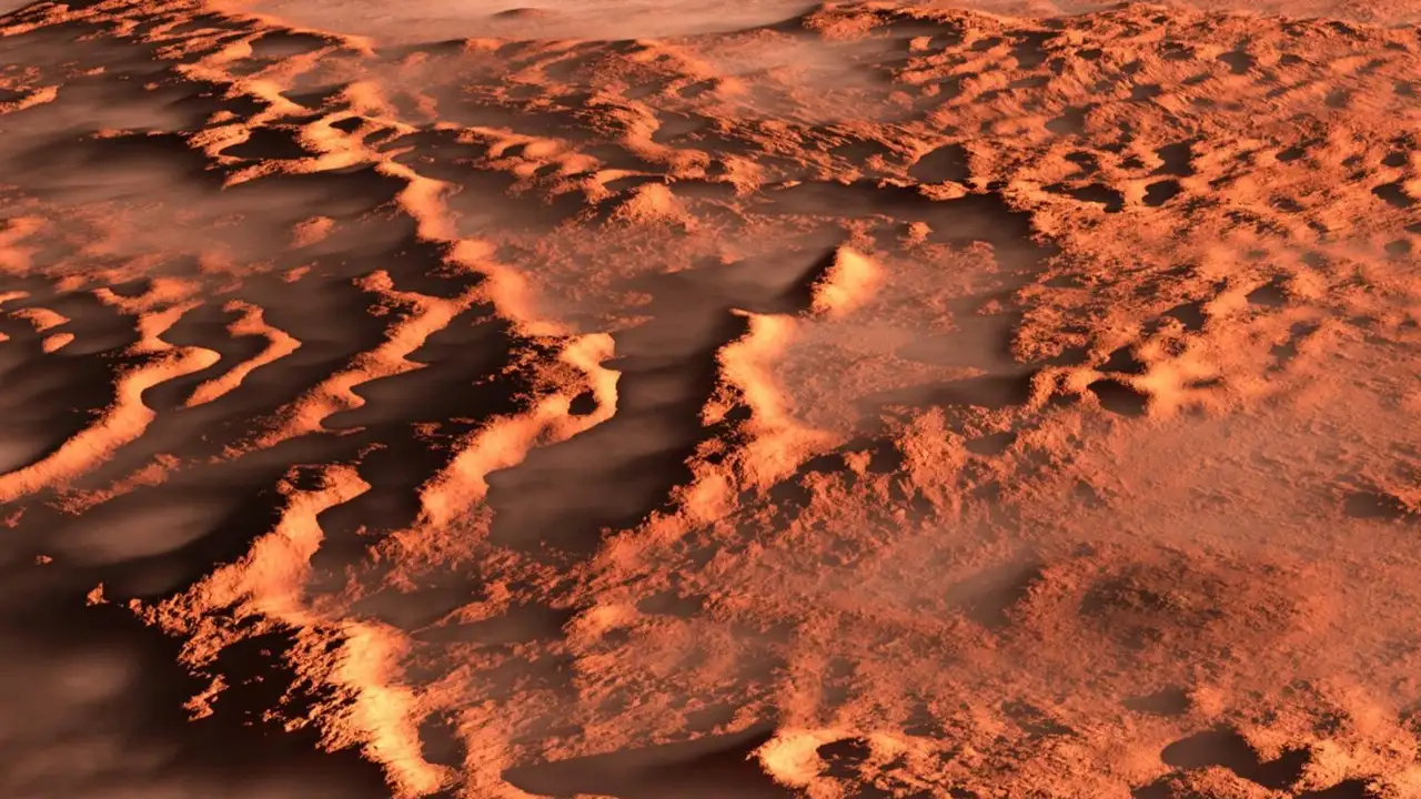
This connection between terrain and temperature is rooted in a concept called thermal inertia. Essentially, different materials absorb and release heat at different rates. Bedrock and coarse, rocky surfaces have high thermal inertia; they heat up slowly in the sun and cool down slowly at night. In contrast, fine-grain materials like sand and dust have low thermal inertia, leading to rapid temperature changes. By creating high-resolution thermal inertia maps, scientists can distinguish between these different surface types with greater precision. Nighttime temperature images are particularly useful, as they clearly show which areas have retained their heat. Warmer-looking areas indicate rockier terrain, while cooler, darker areas point to fine dust. This technique allows for a more accurate characterization of the Martian surface, helping to identify everything from widespread sandy plains to potentially ice-rich regions.
A New Blueprint for Exploration
This detailed understanding of Martian climate is not just an academic exercise; it has critical practical applications for future exploration. Knowing how temperature varies with terrain is crucial for selecting safe landing sites for robotic and, eventually, human missions. Accurate climate models help predict dust storms, which can grow to planetary scale and pose a significant risk to solar-powered rovers and other equipment. Furthermore, these new maps are helping scientists refine their predictions of where water ice might be hiding just below the surface. The ability to pinpoint resources like water ice is essential for planning long-term human outposts. By improving climate models with this new data, scientists can better prepare for the challenges of operating on the Martian surface and increase the chances of mission success.