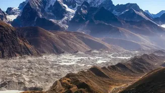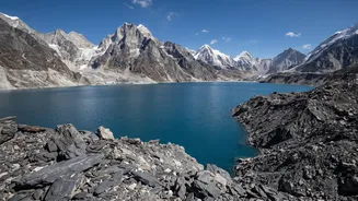






The majestic Himalayas have always commanded a mix of awe and fear. Now, new research reveals the dangers lurking in these mountains are more complex than we imagined, warning that catastrophic floods can be triggered by a domino effect of multiple hazards.
Beyond a Single Cause
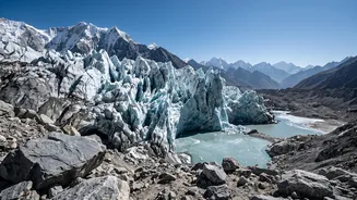
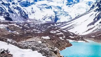
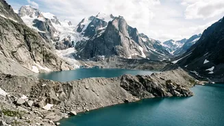
For decades, the primary fear in the high Himalayas was a Glacial Lake Outburst Flood (GLOF), where a single, unstable lake breaches its natural dam, sending a wall of water downstream. While GLOFs remain a significant threat, scientists now warn that this is an dangerously incomplete picture. Recent catastrophic events, like the August 2026 disaster in the Gyirong-Rasuwa corridor on the Nepal-China border, were not caused by a simple lake outburst. Instead, they were the result of what experts call 'cascading hazards'—a chain reaction where one event triggers another. The era of preparing for a single, predictable hazard is over; the new reality is one of compound threats that are far harder to predict and manage.
The Domino Effect of Disasters
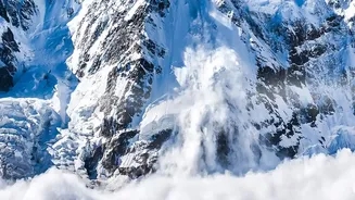
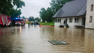
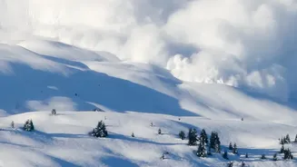
So, what does a cascading disaster look like? It often starts high on a remote mountain slope, far from any river or settlement. An enormous mass of rock and ice, destabilised by melting permafrost and shifting glaciers, suddenly breaks free. This avalanche doesn't just slide down; it gathers immense speed and energy, sometimes registering on seismic instruments like an earthquake. As it plunges into a valley, it can block a river, forming a temporary 'landslide dam'. When this unstable dam inevitably fails, it releases a devastating torrent of water, mud, and boulders. This debris-laden flow moves with incredible force, picking up more sediment as it carves its path downstream, amplifying its destructive power far beyond that of a water-only flood. This was the sequence of events in recent disasters in Chamoli (2021) and Rasuwa (2026), where the initial trigger was a slope failure, not a classic GLOF.
Why Current Warnings Fall Short
This new understanding exposes a critical gap in our defences. Most existing early warning systems in the Himalayan region are designed to monitor two main things: heavy rainfall and rising river water levels. These systems work relatively well for monsoon floods that build gradually. However, they are ill-equipped to handle a disaster that begins with a sudden avalanche miles upstream. In the August 2026 flood, the destructive wave reached border settlements in minutes, travelling at speeds of up to 170 km per hour. The first official text alerts were sent out nearly 40 minutes after the initial collapse, by which time communities closest to the source were already devastated. The systems were not designed to watch the mountain slopes, only the rivers below, leaving a fatal blind spot.
A New Generation of Warnings
To address this evolving threat, experts are calling for a complete overhaul of early warning protocols. The solution lies in an integrated, multi-hazard approach. This involves using satellite technology and remote sensing to monitor vast, inaccessible mountain slopes for signs of instability, such as ground deformation, which was detected weeks before the Langtang Lirung collapse. This data must be combined with seismic sensors that can detect the initial avalanche, river-flow gauges downstream, and automated communication systems. An effective system would link all these components, so that a seismic trigger high in the mountains could instantly activate sirens and alerts in valleys below, buying precious minutes for evacuation. Furthermore, since these river systems cross international borders, real_time data sharing between countries like India, Nepal, and China is no longer optional—it's essential for regional safety.