




A Summit in Constant Flux
On October 14, 2026, French surveyors announced that Mont Blanc's summit reached 4,807.47 metres. This marked a significant increase from its 2023 measurement of 4,805.59 metres, its lowest point in recent times. But this growth spurt doesn't mean the
mountain is immune to climate change or is permanently getting taller. In fact, its height has fluctuated for decades. Between 2001 and the early 2010s, it consistently hovered around 4,810 metres before beginning a gradual decline. These regular check-ups, conducted every two to three years since 2001, reveal a peak in constant motion, shaped by complex natural forces.
The Icy Crown Is Key
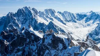
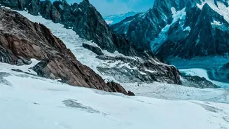
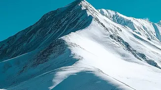
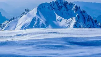
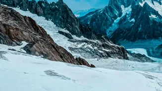
The primary reason for Mont Blanc's changing stature isn't a shift in the rock itself, which stands firm at about 4,792 metres. Instead, the variation comes from the thick cap of ice and snow that covers the summit. The thickness of this icy crown changes based on weather patterns. High winds can blow snow around, redistributing it across the peak, while the amount of annual precipitation determines how much new snow is added. An increase in the summit’s elevation doesn't necessarily mean the mountain has gained overall glacial mass; it simply reflects changes at the very top. Essentially, Mont Blanc's official height is a measurement of a perpetually shifting snowdrift on a rock foundation.
The Earth Moves Beneath
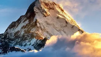
While weather is the main driver for Mont Blanc's short-term height changes, other mountains grow for a more fundamental reason: tectonic uplift. The Himalayas, for example, are getting taller because the Indian tectonic plate is continuously crashing into the Eurasian plate, forcing the crust upward. Mount Everest rises by a few millimetres each year due to these immense geological pressures. Erosion from rivers and glaciers can counteract this growth. In some cases, melting glaciers can lighten the load on the crust, causing it to rebound upward, a process called isostatic uplift. So, while some mountains are actively being built by plate tectonics, others are simply breathing as their icy blankets shrink and grow with the seasons.
How Do We Know?
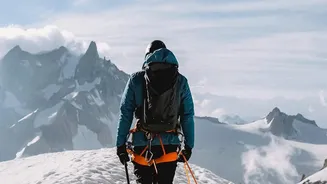
Measuring a mountain isn't as simple as using a giant tape measure. Historically, surveyors used trigonometry, measuring angles from two known points on the ground to calculate the height of a distant peak—a method used to get a surprisingly accurate height for Everest in the 19th century. Today, technology has made these measurements far more precise. Surveyors climb to the summit with high-precision GPS equipment that communicates with satellites to pinpoint the exact altitude. For the latest Mont Blanc survey, the team also used a drone to create a 3D model of the summit and ground-penetrating radar to distinguish between the ice cap and the solid rock beneath it, providing a complete picture of the mountain's structure.