



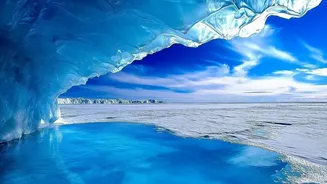
A Planet-Altering Scale of Melt
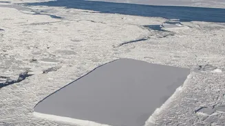
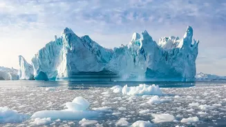
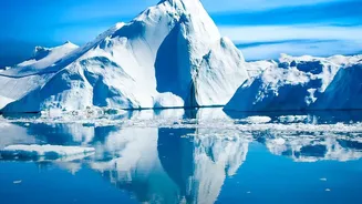
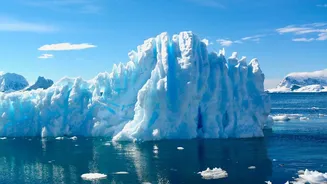
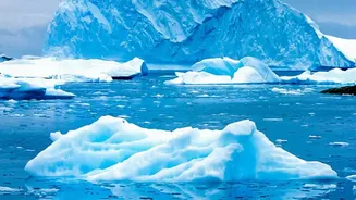
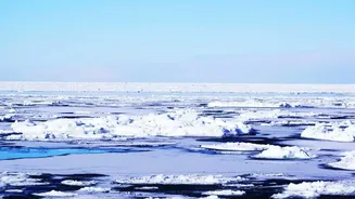
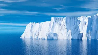
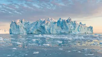
A new, comprehensive analysis confirms the staggering loss of ice from the Earth's two largest ice sheets. Combining data from 27 satellite missions, scientists have created the most complete picture of polar ice loss to date. The total ice lost, 11,309
billion metric tons, is enough to raise the global average sea level by 31.4 millimetres, or over an inch. To put the sheer volume into perspective, if this melted ice were spread across the entire area of Sweden, it would form a layer of water 25 metres deep. Another visualisation suggests it would be enough to bury the continental United States under nearly five feet of frozen water. This isn't a slow, gentle melt, but an accelerating trend that has profound implications for the entire planet.
How Science Measures a Melting World
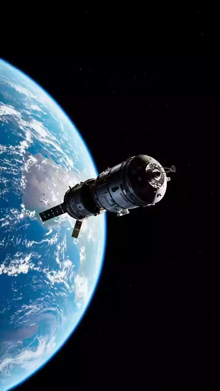
Tracking the mass of ice sheets covering millions of square kilometres is a monumental scientific challenge. Researchers in a collaboration known as the Ice Sheet Mass Balance Inter-comparison Exercise (IMBIE) use three main satellite techniques. Satellite altimetry involves sending radar or laser pulses to the ice surface to measure its height, detecting changes over time. Gravimetry uses satellites, like those from the GRACE mission, to measure tiny changes in Earth's gravitational field, which shifts when a massive amount of ice is lost or gained. The third method, the input-output method, calculates the balance between the snow that accumulates on the ice sheet and the ice that is discharged into the ocean by glaciers. By combining data from 42 independent surveys using these techniques, scientists can build a robust and verified record of change.
Not Just Melting, but Moving
One of the most critical findings of the recent study is the primary cause of the ice loss. It's not just about warmer air melting the surface. The research attributes roughly 84% of the total ice loss to changes in ice dynamics—meaning glaciers are flowing faster and dumping more ice into the ocean. This process is largely driven by warming ocean waters that melt the floating tongues of glaciers from below. This underwater melting weakens the ice shelves that act as a buttress, holding back the vast rivers of ice further inland. Once that resistance is gone, the inland ice can accelerate its march to the sea. Surface melting accounted for only about 16% of the loss, highlighting the ocean's powerful role in destabilising the polar regions.
Why It Matters for India's Coastline
The melting of ice sheets thousands of kilometres away is not a distant problem; it is a direct threat to India. With a coastline spanning over 7,500 kilometres and a significant portion of its population living in low-lying areas, India is highly vulnerable to sea-level rise. For every centimetre of sea-level rise, an estimated two to three million people globally are put at risk of annual coastal flooding. Major economic hubs like Mumbai, Kolkata, and Chennai are already facing increased risks of flooding, which damages infrastructure and contaminates freshwater sources. Rising sea levels also lead to coastal erosion, with some reports indicating that about a third of India's coastline is already experiencing erosion. This threatens not only coastal communities and livelihoods in sectors like fishing and agriculture but also vital ecosystems such as mangroves and coral reefs.