


A New Eye in the Sky
For decades, authorities have relied on satellites to spot wildfires, but these systems were never designed for the task. Often, they are weather or general Earth-observation satellites that pass over a specific area infrequently, sometimes only once
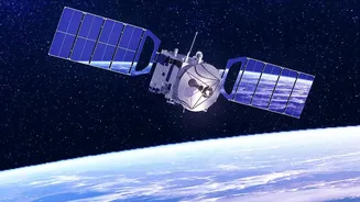
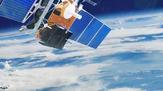
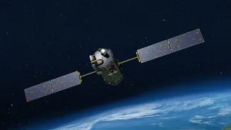
or twice a day. This delay means a small, manageable spark can escalate into an uncontrollable megafire before it's even detected from space. FireSat, a project by the nonprofit Earth Fire Alliance and its partners, aims to solve this problem with a purpose-built constellation of satellites. A prototype launched in 2025, and the first three operational satellites were sent into orbit in the summer of 2026. The goal is to have a fleet of over 50 satellites providing global coverage.
How the Technology Works
FireSat's advantage lies in its specialisation. The satellites are equipped with advanced multispectral infrared sensors designed specifically to hunt for the heat signatures of fires. These sensors can detect fires as small as five by five metres, roughly the size of a small classroom. This is a dramatic improvement over existing systems, which can struggle to identify fires smaller than a soccer field. The satellites orbit the Earth in a low-orbit pattern that allows for much more frequent scans of the same location. An artificial intelligence system then analyses the incoming data, comparing new images to previous ones and factoring in weather conditions to confirm a fire and reduce false alarms from other heat sources like industrial flares or hot rooftops.
Faster Than Ever Before
The key promise of FireSat is speed. Current satellite alerts can take hours, a dangerously long time in a fire situation. By the end of 2026, the initial group of FireSat satellites will provide data on fire-prone regions at least twice a day. As more satellites join the constellation through 2029, the revisit time—the time it takes for a satellite to pass over the same spot—will shrink to about one hour. Once the full constellation of over 50 satellites is operational around 2030, that time is expected to drop to 20 minutes or less, anywhere on Earth. This near real-time information on a fire's perimeter and progression is what first responders have called a massive game-changer, enabling quicker, safer, and more strategic responses.
The Indian Context
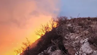
For a country like India, which faces significant annual forest fires in states such as Uttarakhand, Himachal Pradesh, and Odisha, such technology could be transformative. Faster detection means that forest departments and disaster response forces could mobilise resources while a blaze is still small and containable, potentially saving vast tracts of forest, protecting wildlife, and preventing threats to nearby communities. It could also provide crucial data for understanding fire patterns and developing more effective long-term prevention strategies tailored to India’s unique ecological landscapes. The global and open-data nature of the project means that this advanced warning system could eventually become an invaluable tool for Indian authorities in mitigating one of the country's most pressing environmental challenges.
Challenges and the Road Ahead
While the technology is promising, the full vision of FireSat is still a few years away. Building, launching, and maintaining a constellation of over 50 satellites is a complex and expensive undertaking. The first operational satellites launched in July 2026 will undergo a months-long calibration period before their data is fully integrated into firefighting workflows. The project's success will depend on seamless collaboration between the Earth Fire Alliance, its technical partners like Muon Space, and fire agencies around the world who will need to adapt their systems to use the new data stream effectively. However, the successful launch and testing of the prototype have already proven the system's potential by detecting small fires missed by existing satellites, offering a strong proof of concept for this ambitious endeavor.