









An Eye in the Sky for Every Drop
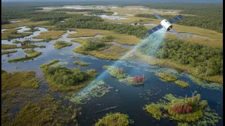
The satellite at the heart of this new understanding is the Surface Water and Ocean Topography (SWOT) mission. Launched in December 2022, it is a joint effort between NASA and the French space agency CNES, with contributions from Canadian and UK space agencies.
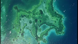
Its primary goal is ambitious yet simple: to conduct the first-ever global survey of nearly all the water on Earth's surface. For the first time, scientists can observe the planet's oceans, rivers, lakes, and reservoirs in remarkable detail, tracking how these bodies of water change over time and interact with each other. This isn't just about taking pictures; it's about measuring the height of water with astonishing precision, giving us a three-dimensional perspective on our planet's most vital resource.
How It Sees the Water
SWOT’s magic lies in its advanced technology, specifically an instrument called the Ka-band Radar Interferometer, or KaRIn. This system works by bouncing radar pulses off the water's surface and capturing the returning signals with two antennas spread wide on either side of the satellite. By measuring the tiny differences in the return time of these signals, KaRIn can calculate the water surface's height with an accuracy of within centimetres. It scans the globe in wide, 120-kilometre swaths, allowing it to map not just the massive oceans but also rivers wider than 100 metres and millions of lakes. This provides a continuous, dynamic map of Earth’s water, a feat impossible with previous satellite technologies that could only measure water levels at single points directly beneath them.
Connecting the Water Cycle
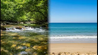
The headline's promise is where SWOT truly shines. The data it gathers directly links the vast, slow-moving dynamics of the ocean with the fast-flowing pulses of freshwater systems on land. Scientists can now observe how ocean phenomena like eddies—swirling currents that act like weather systems in the sea—influence coastal areas. More importantly, they can track the complete journey of water: how much flows out of rivers and into the ocean, and how that freshwater interacts with saltwater. This holistic view helps us understand the entire water cycle as a single, integrated system rather than separate components. It’s like being able to see the planet’s entire circulatory system at once, from the largest arteries to the smallest capillaries.
What It Means for India
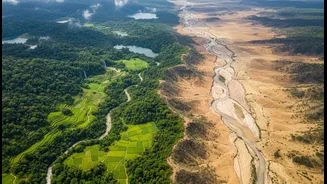
For a nation so profoundly shaped by water, from the Himalayan glaciers to the monsoon-fed rivers and the expansive coastline, SWOT's data is transformative. Early studies have already shown the satellite's immense potential for India. Researchers are using its data to better understand the hydrodynamics of major rivers like the Ganga. A study assessing SWOT's capabilities found it could significantly improve flood mapping in India, potentially capturing nearly half of all flood events. By providing precise measurements of water levels in reservoirs and river discharge rates, the satellite can help authorities manage water resources more effectively, anticipate droughts, and prepare for floods. ISRO scientists are also exploring how to synergistically use SWOT data with other satellites to monitor total water storage in the critical Ganga-Brahmaputra basin.
A New Era for Climate and Water Science
The implications of the SWOT mission extend far beyond immediate water management. Because the ocean is the planet's largest reservoir of heat, understanding its circulation is key to refining climate models. SWOT's ability to see smaller ocean features helps scientists understand how heat and carbon are transported within the ocean, a critical piece of the climate puzzle. It provides a global inventory of freshwater, helping us assess the impacts of climate change on agriculture and industry. This comprehensive, high-resolution view of Earth's water allows for a more accurate understanding of everything from sea-level rise to the availability of drinking water for billions of people.