



The Dragon in the Sky
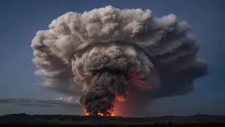
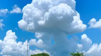
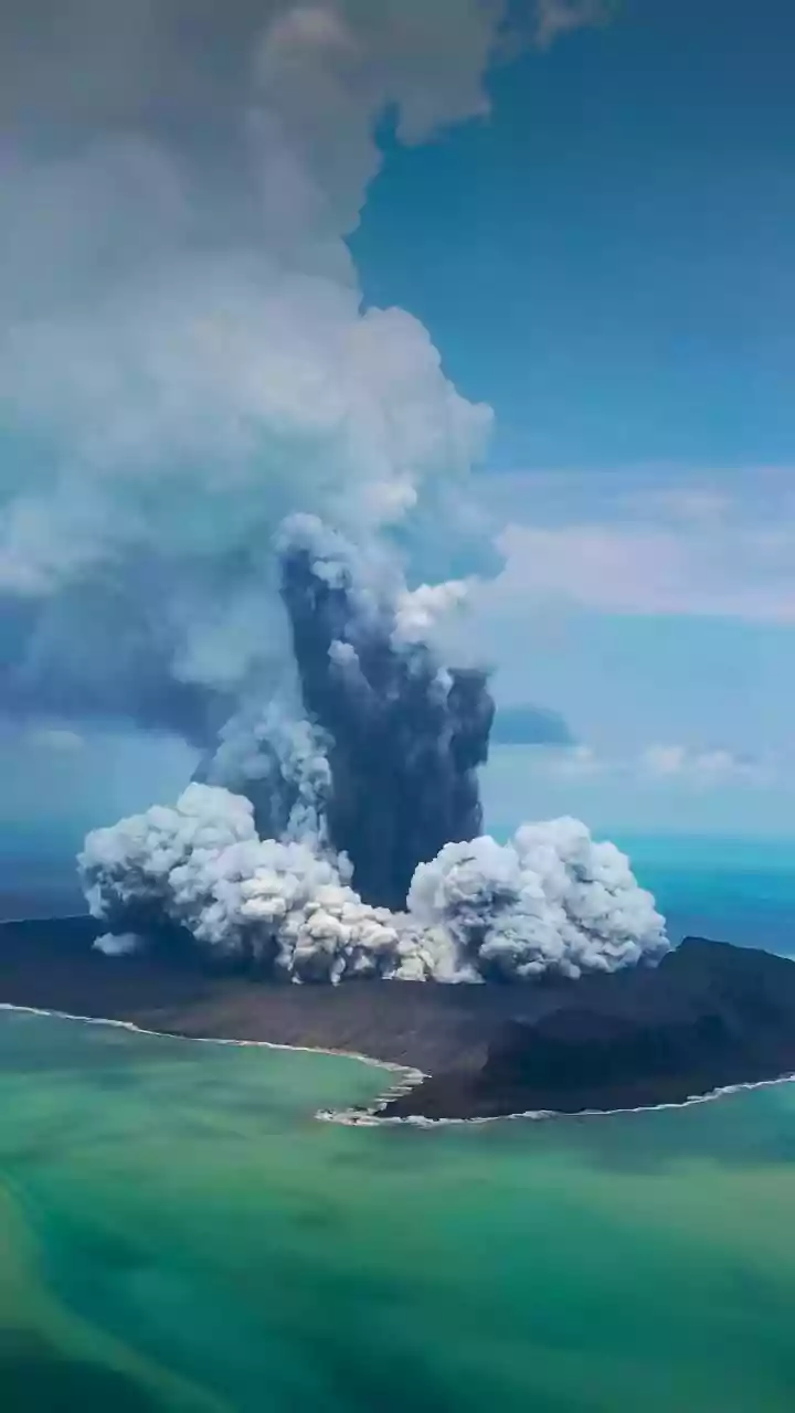
Imagine a thundercloud born not from atmospheric moisture, but from the raw, explosive energy of a raging inferno. This is a pyrocumulonimbus (PyroCb), a phenomenon so powerful that NASA has nicknamed it the 'fire-breathing dragon of clouds'. It begins
when a massive wildfire releases a colossal column of superheated air, smoke, and ash. This plume rises so rapidly and with such force that it punches high into the atmosphere, sometimes reaching altitudes of 15 kilometres, well into the stratosphere. As the hot air ascends into the freezing upper atmosphere, moisture carried within the plume condenses around ash particles. This process releases yet more energy, fueling the cloud's vertical growth until it evolves into a fully-fledged, self-sustaining thunderstorm.
A Historic First for France
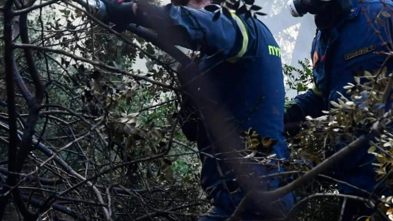
In July 2026, as devastating wildfires tore through the Gironde region of southwestern France, officials confirmed the country's first-ever recorded pyrocumulonimbus. The blaze near Saumos grew so large, burning over 420 square kilometres and forcing the evacuation of 220,000 people, that it began generating its own weather. For a country more accustomed to conventional wildfires, the sight of a towering, smoke-infused storm cloud was a shocking development. While more common in the vast, fire-prone landscapes of Australia and North America, its appearance in Europe signalled that the conditions fuelling these extreme fire events—intense heatwaves and prolonged drought—are becoming more prevalent globally.
The Dangerous Feedback Loop
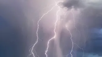
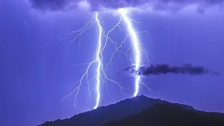
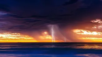
A PyroCb is far more than a dramatic spectacle; it is an engine that amplifies the disaster unfolding below. Once formed, the cloud initiates a dangerous feedback loop. The powerful updraft at its core sucks in air from all directions, creating strong, erratic surface winds that can change the fire's direction and speed in an instant. At the same time, the cloud's internal mechanics, similar to a regular thunderstorm, generate electrical charges that result in lightning. This 'dry lightning' can strike miles outside the original fire's perimeter, igniting new blazes in tinder-dry vegetation. The fire no longer just follows the weather; it creates a new, unpredictable weather system that feeds its own destructive spread, making it incredibly difficult and dangerous for firefighters to control.
A Global Warning Sign
The French fire cloud is a stark illustration of a broader, more alarming trend. As climate change leads to hotter temperatures and more frequent droughts, landscapes become more susceptible to megafires. These are the very conditions required to spawn a pyrocumulonimbus. Scientists see these fire-generated storms as a key indicator that we have entered a new and more dangerous era of wildfires. Events like the 2019-2020 Australian bushfires and the 2018 Carr Fire in California also produced these phenomena, demonstrating a global pattern. The data gathered from the French event provides crucial insight for scientists worldwide, helping them understand and model how fires behave when they reach this extreme threshold.
Implications for Fire-Prone Regions
Understanding this feedback loop is critical for any region facing wildfire risk, including parts of India. States like Uttarakhand, Himachal Pradesh, and Odisha regularly contend with forest fires, and while a French-scale PyroCb may be uncommon, the underlying principles are universal. As conditions become hotter and drier, the potential for fires to exhibit more extreme and unpredictable behaviour increases everywhere. The knowledge that a fire can create its own wind and lightning fundamentally changes the approach to prediction and management. It underscores the urgent need to integrate these complex atmospheric interactions into firefighting strategies and early warning systems to protect vulnerable communities from fires that can literally make their own weather.