



An Escalating Global Crisis
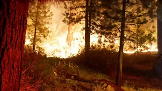
From the forests of North America to the Australian bush, wildfires are becoming a devastatingly regular feature of modern life. Fueled by climate change and shifting weather patterns, these blazes are no longer seasonal threats but year-round emergencies.
Traditional detection methods, like watchtowers and patrol flights, struggle to keep pace with fires that can erupt in remote areas and expand with terrifying speed. Existing satellites can spot large fires, but they were often designed for other purposes, resulting in data that is either too low-resolution or arrives too late for first responders to act decisively on a small, manageable ignition. This critical gap in early detection is what the FireSat program aims to close.
FireSat: A Dedicated Eye in the Sky
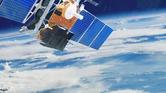
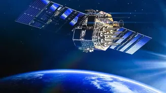
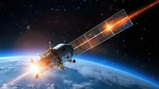
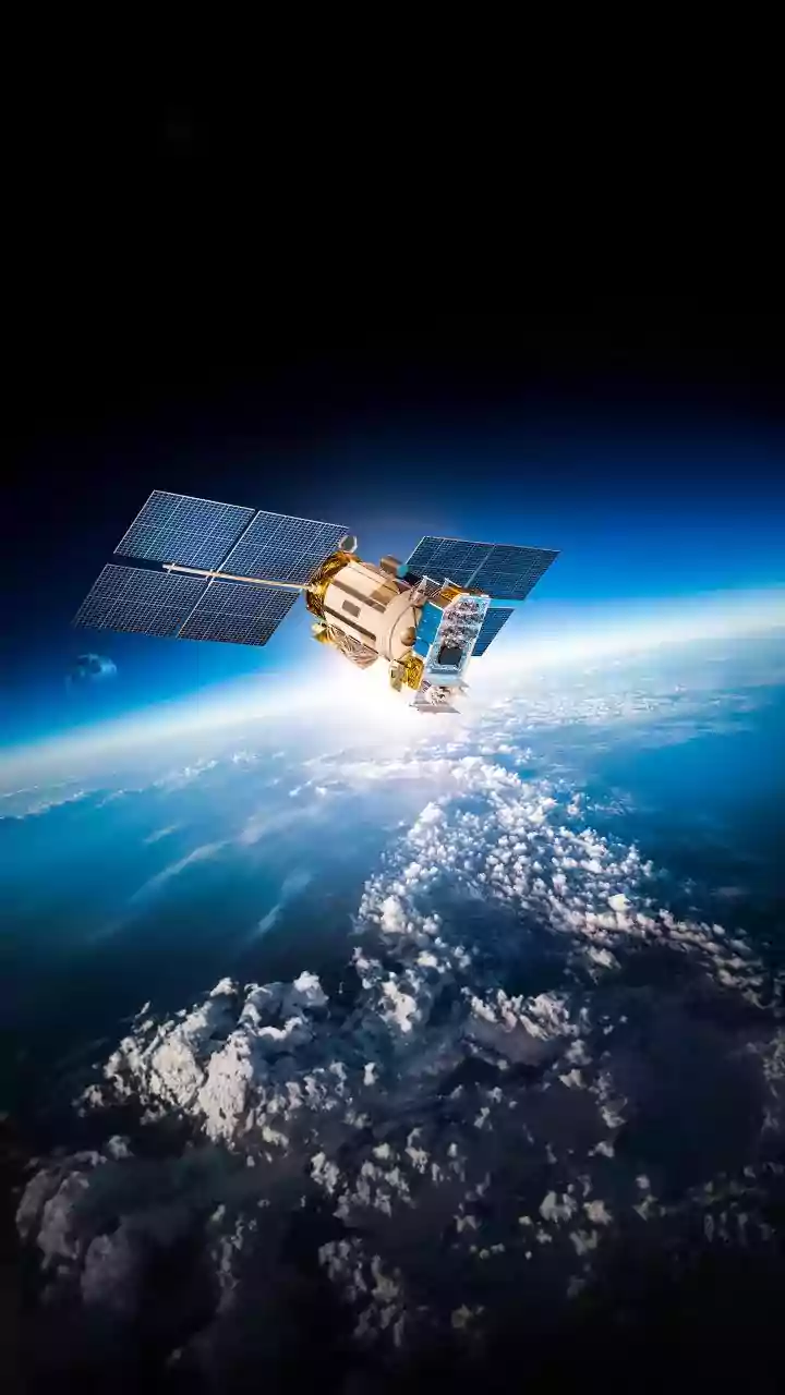
FireSat is not just another weather satellite; it's a purpose-built constellation designed specifically to hunt for wildfires. The initiative is led by the nonprofit Earth Fire Alliance, with the satellites themselves built and operated by space systems company Muon Space. The project launched its first prototype in March 2025, which successfully proved its ability to spot small fires missed by other systems. More recently, in July 2026, the first three operational satellites were launched, marking a major step toward providing a functional service. The ultimate vision is a constellation of more than 50 satellites that will blanket the globe, offering a constant and watchful eye.
How It Works: Infrared, AI, and Speed
The power of FireSat lies in its combination of advanced hardware and intelligent software. Each satellite is equipped with a high-resolution, six-channel multispectral infrared sensor. This instrument can detect the unique heat signature of a fire, even a small or relatively cool one, distinguishing it from other heat sources on the ground. The system is sensitive enough to spot an ignition source as small as 5x5 meters—about the size of a single-car garage. Once a potential fire is flagged by the sensor, artificial intelligence algorithms get to work. By comparing new images to thousands of previous scans of the same spot and factoring in local weather, the AI can confirm if a fire is present, dramatically reducing false alarms. The alert, complete with location and data on the fire's intensity, can then be sent to emergency crews on the ground within minutes.
Clarifying Google's Role
While the headline notes Google's backing, the tech giant is not building the satellites itself. Instead, Google's contributions are in its areas of expertise: AI and data. Google Research contributed to the initial design of the system, and the company's philanthropic arm, Google.org, has provided more than $15 million in funding to support the Earth Fire Alliance and the deployment of the initial satellites. This partnership allows FireSat to leverage Google's powerful AI and cloud computing infrastructure to analyze the vast amounts of data the satellites will generate. This AI collaboration is crucial for sifting through images to find the needle-in-a-haystack that is a new fire ignition.
From Detection to Action on the Ground
Spotting a fire is only half the battle. The true value of FireSat is its ability to deliver actionable intelligence to firefighters faster than ever before. The goal is to provide a continuously updated picture of a fire's perimeter, its direction of spread, and its speed. This level of situational awareness is a game-changer for incident commanders, who must make critical decisions about where to deploy resources, when to issue evacuation orders, and how to keep their crews safe. By providing this common operating picture to multiple agencies in near real-time, FireSat aims to enable a more coordinated and effective response, potentially containing fires before they escalate into uncontrollable disasters.
The Challenges Ahead
Despite its immense promise, FireSat is still in its early stages. The full constellation of over 50 satellites required for a global revisit time of 20 minutes is still years away from completion. In the meantime, the current handful of satellites will offer more limited coverage. There is also competition, with other companies like OroraTech and Orbital Sentry developing their own satellite-based fire detection systems. Furthermore, technology is only part of the solution. Successfully integrating this new stream of data into existing emergency response workflows will be a critical challenge for fire agencies around the world, who must build trust in the system and develop protocols for acting on its alerts.