







What is the FireSat Network?
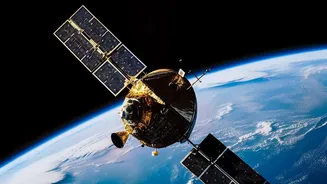
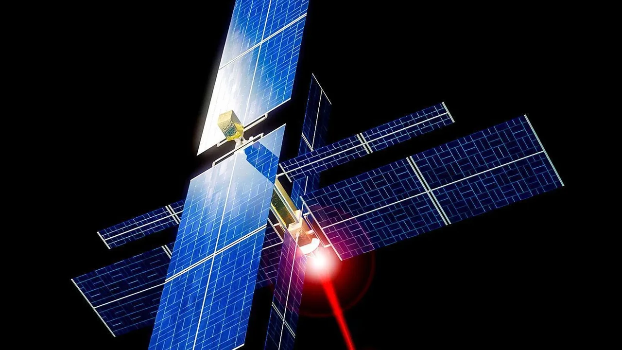
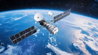
FireSat is a satellite constellation designed for one specific purpose: to detect and monitor wildfires from space. It's a collaborative effort involving Google Research, the non-profit Earth Fire Alliance, and spacecraft manufacturer Muon Space. Unlike
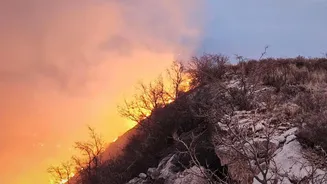
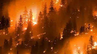
existing weather or Earth-observation satellites that serve multiple functions, FireSat's sensors and orbits are optimized solely for finding fires. The goal is ambitious: when the full constellation is operational, it aims to detect fires as small as 5x5 metres—roughly the size of a small room—anywhere on the planet, with updates as frequently as every 20 minutes. This is a significant leap from current systems, which can struggle to spot fires smaller than a soccer field or may only revisit a location a few times a day.
A New Step Forward
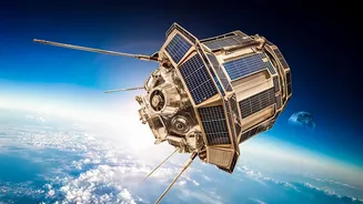
The latest development marks the project's transition from a promising prototype to a functioning service. In July 2026, three new operational satellites were successfully launched into orbit, joining a single pilot satellite that went up in March 2025. This launch signifies the start of FireSat's 'Initial Operational Capability', meaning it can now begin providing data to early adopters in fire-prone regions. The 2025 prototype already proved its worth by capturing over a million images and identifying small, low-intensity fires that other space-based systems missed. With the new additions, the system will begin delivering data at least twice daily to selected partners in the United States, Australia, and Europe during the 2026 fire seasons.
How AI Makes It Smarter
The hardware is only half the story. The real game-changer is the integration of artificial intelligence, with contributions from Google Research. The system doesn't just take pictures; it learns. Onboard AI compares each new image with thousands of previous images of the same spot. It factors in variables like local weather, time of day, and other potential heat sources—like a sun-drenched roof—to reliably determine if a new heat signature is actually a fire. This process is crucial for minimizing false alarms, which can waste precious time and resources for emergency responders. The AI helps find the 'needles in a world of haystacks', ensuring that the alerts sent to fire agencies are trustworthy and actionable.
The View from India
While FireSat's initial service regions are in the US, Australia, and Europe, the technology holds immense promise for India. The country sees a significant number of forest fires annually, with states like Uttarakhand, Himachal Pradesh, and Odisha being particularly vulnerable. According to the Forest Survey of India (FSI), nearly 36% of the nation's forest cover is prone to fires. Currently, India uses systems like FSI's FAST 3.0, which relies on data from NASA satellites to generate alerts. While effective, there is always a need for faster, more granular data. A system like FireSat, which can detect very small fires and provide rapid updates, could be a powerful tool to supplement existing efforts. It could provide the crucial early warning needed to contain a blaze before it spreads, protecting biodiversity, local livelihoods, and air quality across the subcontinent.
The Road Ahead
This three-satellite launch is just the beginning. The long-term vision for the FireSat network is a constellation of more than 50 satellites providing near-constant global coverage. The program is structured as a public-interest service, backed by private technology and philanthropic funding, including over $15 million from Google.org. As more satellites are deployed in the coming years, the system's revisit time will shrink, and its data will become even more powerful. This will not only aid in immediate firefighting efforts but also create an unprecedented global historical record of fire behaviour, helping scientists and AI experts better model and understand fire propagation in a changing climate.