






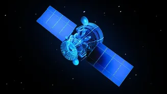
What is NavIC and Why Does It Matter?
NavIC, which stands for Navigation with Indian Constellation, is India’s homegrown answer to the American GPS. Developed by the Indian Space Research Organisation (ISRO), its official name is the Indian Regional Navigation Satellite System (IRNSS). The
system is designed to provide accurate, real-time positioning and timing services across India and a region extending roughly 1,500 kilometres beyond its borders. The primary motivation behind creating NavIC was strategic autonomy. Relying on foreign-controlled systems like GPS carries a risk; access can be denied or degraded during geopolitical conflicts, a lesson India learned during the 1999 Kargil War. Having a sovereign navigation system is crucial for military applications, including missile guidance, troop movement, and secure communications for warships and aircraft. Beyond defence, NavIC has widespread civilian uses in disaster management, vehicle tracking, marine navigation for fishermen, and precision agriculture.
The Problem: A Constellation in Crisis
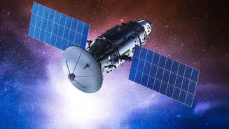
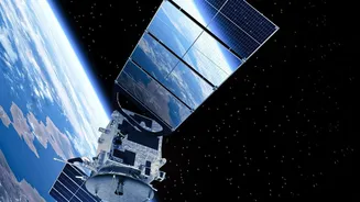
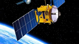
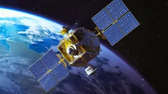
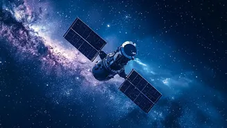
A navigation system's strength lies in its constellation of satellites. NavIC was originally designed with seven operational satellites, but the system has been facing significant challenges. A number of the first-generation satellites have been compromised by the failure of their imported rubidium atomic clocks, which are essential for broadcasting the precise time signals needed for location tracking. As of mid-2026, the Indian government confirmed that NavIC has only three fully functional satellites providing positioning services: IRNSS-1B, IRNSS-1I, and NVS-01. This drop below the minimum threshold has left NavIC unable to provide what is known as 'standalone positioning'. While its timing services remain active, it cannot independently pinpoint a user's location without assistance from other systems like GPS. This has created a critical gap, particularly for strategic users who depend on its independent functionality.
The Solution: What is a Standalone Fix?
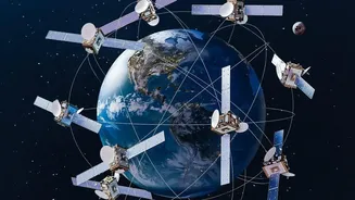
The term 'standalone fix' refers to a navigation system's ability to determine a user's position using only its own network of satellites. To do this accurately, a receiver on the ground—like your smartphone or a missile's guidance system—needs to solve for four unknown variables: latitude, longitude, altitude, and its own internal clock error. Each satellite signal provides one part of the puzzle. Therefore, a minimum of four satellites must be visible to the receiver at any given time to calculate a precise three-dimensional position and correct for time discrepancies. With only three satellites currently operational for this purpose, NavIC cannot complete this calculation on its own. The launch of a fourth satellite, NVS-03, is the crucial next step to restore this fundamental capability and bring the system back to full operational status for independent navigation.
Enter NVS-03: The Next-Generation Reinforcement
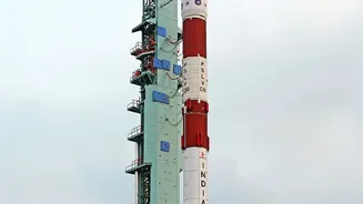
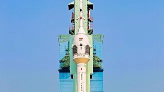
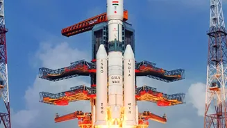
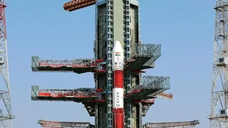
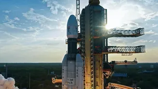
NVS-03 is more than just another satellite; it represents the second generation of NavIC spacecraft. It is scheduled for launch between October 15 and 20, 2026, aboard a GSLV Mk II rocket. One of its most significant upgrades is an indigenously developed rubidium atomic clock, created by the Space Applications Centre in Ahmedabad. This home-grown technology is a direct response to the failures of the imported clocks in the earlier IRNSS series, aiming to ensure greater reliability and a longer mission life, which is planned for 12 years. Furthermore, the NVS series satellites feature new L1 band signals in addition to the existing L5 and S bands. This addition is designed to make NavIC interoperable with other global systems and expand its use in low-power consumer devices like smartwatches and IoT trackers. The successful deployment of NVS-03 is seen as a critical step in not just restoring but also augmenting NavIC's services.
The Road Ahead for India's Own GPS
The launch of NVS-03 is the immediate priority to restore NavIC's standalone functionality, but it is just one part of a larger plan. ISRO has two more satellites, NVS-04 and NVS-05, in advanced stages of development, which are set to follow NVS-03 to further bolster the constellation. The goal is not just to replace the aging satellites but to expand the network to ensure robust and uninterrupted coverage. Experts suggest that a fully reliable regional service requires at least seven operational satellites to provide redundancy and consistent coverage. This mission is also a chance for ISRO to demonstrate that it has overcome technical setbacks, such as the launch failure of NVS-02 in January 2025. A successful launch will pave the way for a more resilient and powerful NavIC, reinforcing India's self-reliance in the critical domain of space-based navigation and opening new commercial opportunities.