




What Exactly Was Found?
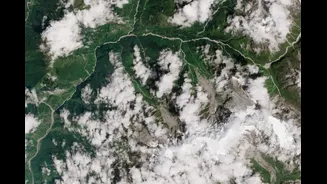
A recent study, published in the journal 'Nature', has systematically mapped and inventoried 219 hanging glaciers across the Alaknanda basin, a key headstream region of the Ganga in the Garhwal Himalayas. These glaciers cover an area of nearly 72 square
kilometres. The research, conducted by scientists from institutions including the Indian Institute of Science (IISc), Bengaluru, and IIT Bhubaneswar, highlights that almost a third of the unstable ice mass is concentrated in the Upper Alaknanda basin. This is the first basin-scale inventory of its kind in India’s Central Himalayas, providing crucial data on a previously under-researched phenomenon.
Understanding Hanging Glaciers
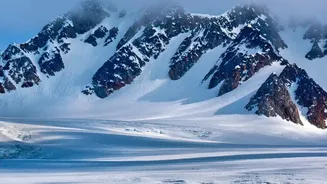
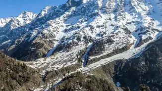
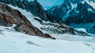
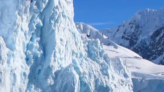
So, what is a hanging glacier? Unlike the massive valley glaciers that flow down to a terminus, a hanging glacier is an ice mass that clings to steep mountain slopes, often near cliff edges. Because of its precarious position on steep terrain, it doesn't flow down a gentle valley. Instead, its attachment to the underlying rock is what holds it in place. This bond can be weakened by rising temperatures and meltwater, making these glaciers particularly unstable and prone to breaking off without warning. As the Director of the Wadia Institute of Himalayan Geology noted, climate change is a main factor, causing fluctuations in temperature that lead to the freezing and thawing of ice, which contributes to fractures.
The Risk of Cascading Hazards
The primary danger these glaciers pose is their potential to collapse. When a large mass of ice and rock breaks off, it can trigger a devastating ice-rock avalanche. Simulations from the study indicate that such an avalanche in the Badrinath-Mana sector could create a flow over 50 metres high, powerful enough to overwhelm settlements and infrastructure. But the danger doesn't stop there. These avalanches can lead to secondary, or 'cascading', hazards. If the falling debris blocks a river, it can form a temporary dam. When this unstable dam inevitably bursts, it releases a massive volume of water in what is known as a Glacial Lake Outburst Flood (GLOF), a phenomenon that has caused some of the biggest floods in history. This type of multi-hazard event was tragically seen in the 2021 Chamoli disaster, which was also triggered by a landslide involving a hanging glacier.
Why This Inventory Is a Critical Step
While these glaciers are a source of fresh water, their instability makes them a significant threat, especially in a region experiencing rapid development and population growth. The study projects that by 2030, the amount of infrastructure at risk from these hazards will be 120% higher than it was in 2000, with a 17% increase in the exposed population. The Alaknanda basin is not just geologically fragile; it's also home to major pilgrimage sites like Badrinath, along with numerous towns, roads, and hydropower projects located in vulnerable valleys. Mapping these 219 glaciers is the first crucial step. It provides a baseline for systematic monitoring, allowing authorities to identify high-risk glaciers, develop early-warning systems, and implement risk-informed land-use planning to protect downstream communities.