





A Himalayan Tsunami
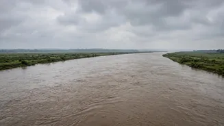
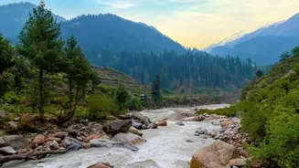
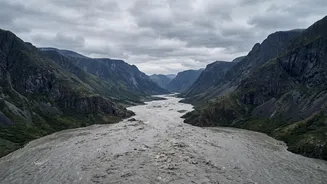
On August 26, 2026, a massive flash flood, likely triggered by a glacial collapse, tore through Nepal's northern districts near the Tibet border. The sudden surge of water, ice, and debris down the Bhote Koshi and Trishuli rivers was catastrophic, wiping
out entire settlements, destroying bridges, and damaging critical infrastructure like hydropower plants. Hundreds were killed, with many more, including a number of Indian tourists, reported missing. The disaster, which began in the remote mountains of Nepal and Tibet, quickly sent shockwaves hundreds of kilometres downstream, demonstrating a terrifying reality: in this interconnected region, water respects no political boundaries.
Why Nepal’s Rivers Are India’s Concern
Hydrologically, Nepal and India are a single, deeply integrated system. Several of the Ganga basin's major tributaries—including the Kosi, Gandak, Sarda, and Ghaghra—originate in the Himalayas of Nepal before flowing down into the plains of Uttar Pradesh and Bihar. The recent flood wave travelled from the Trishuli river system in Nepal towards the Narayani, which becomes the Gandak river upon entering India. This direct linkage explains why a disaster in Nepal's Rasuwa district immediately triggered high alerts across nine districts in north Bihar. Authorities in both Bihar and Uttar Pradesh began evacuating low-lying areas and closely monitoring barrages, bracing for the surge of water making its way south.
The ‘Sorrow of Bihar’ and Other Threats
For residents of north Bihar, the threat of transboundary floods is a grimly familiar part of life. The Kosi river, notorious for its devastating floods and for carrying enormous amounts of sediment that cause it to change course unpredictably, is known as the ‘Sorrow of Bihar’. Its basin is home to nearly 40 million people across Nepal and India whose lives are intertwined with its volatile nature. While the Kosi and Gandak rivers are lifelines for agriculture, their immense power during the monsoon season makes them a recurring hazard. The combination of steep Himalayan terrain, increasingly erratic monsoons due to climate change, and heavy silt deposition makes these shared rivers exceptionally difficult to manage and predict.
Cooperation in the Face of Crisis
Recognizing this shared vulnerability, India and Nepal have established several mechanisms for cooperation. These include joint committees on flood management, water resources, and specific projects like the Kosi and Gandak barrages. A key element is the sharing of hydro-meteorological data during the monsoon season, which helps India’s Central Water Commission formulate flood forecasts for the shared river systems. In response to the August 26 disaster, India immediately dispatched humanitarian aid and disaster relief supplies via Indian Air Force aircraft, and the government's National Disaster Response Force (NDRF) was put on standby. Prime Minister Narendra Modi and External Affairs Minister S. Jaishankar both affirmed India's support for Nepal's relief efforts, highlighting the close coordination between the two nations.
A Call for a Stronger Framework
While immediate aid is crucial, this latest disaster underscores the need for a more robust, long-term transboundary disaster management framework. Experts argue that the region must move beyond seasonal warnings to a real-time, basin-wide system that integrates satellite imagery, glacial monitoring, and impact forecasting. The increasing frequency of extreme weather events in the Himalayas, driven by climate change, means that dangers like Glacial Lake Outburst Floods (GLOFs) are a growing threat. The challenge is not just technical but also diplomatic. Ensuring that early warnings from one country are effectively communicated and acted upon in another requires deep trust and seamless coordination, turning a shared natural hazard into a shared responsibility for safety and resilience.