



The Challenge of Finding Your Way
For decades, navigating in space has relied on a constant conversation with Earth. Spacecraft, landers, and rovers have depended on tracking and commands from ground stations, like NASA’s Deep Space Network, to know their precise location. This system
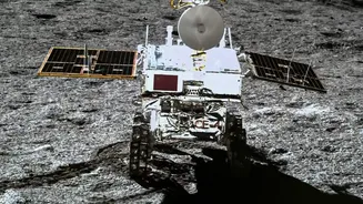
works, but it's like asking for directions from a friend thousands of miles away—there’s a delay, and it ties up valuable resources. As humanity plans to establish a sustained presence on the Moon with the Artemis program, including building moon bases and deploying more advanced rovers, this reliance on Earth becomes a bottleneck. For astronauts or autonomous rovers exploring the treacherous lunar South Pole, waiting for confirmation from Earth isn't just inefficient; it can be dangerous.
A Lunar Lighthouse Network
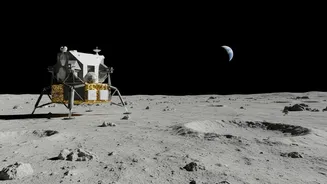
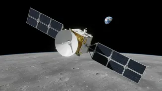
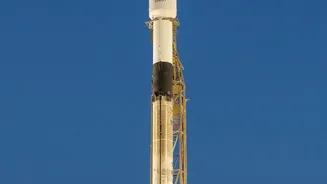
Enter the Lunar Node-1 (LN-1), a technology demonstrator designed to solve this problem. Developed at NASA's Marshall Space Flight Center, LN-1 is essentially a radio beacon. The idea is to create a network of these beacons on the lunar surface and in orbit, acting like lighthouses. Instead of looking to Earth for their position, future rovers, landers, and astronauts could use signals from this local network to triangulate their location in real-time. The LN-1 payload, about the size of a small satellite (CubeSat), was sent to the Moon as part of a Commercial Lunar Payload Services (CLPS) mission with Intuitive Machines.
How Does It Work?
The LN-1 uses a system called the Multi-spacecraft Autonomous Positioning System (MAPS). This software allows networked devices to 'talk' to each other and calculate their positions relative to one another without needing input from Earth. During its mission, the LN-1 successfully transmitted signals from the lunar surface back to the Deep Space Network on Earth. While the lander's orientation limited the test to short transmissions, it was enough to prove the concept works. The goal is to build out a robust network, sometimes called LunaNet, which would combine data from surface beacons and orbiting satellites to provide reliable navigation and communication services across the Moon.
Beyond the Beacon: Using Earth's GPS
While LN-1 focuses on creating a new, local lunar network, other NASA projects are exploring ways to use existing Earth-based systems. Technologies like the Lunar GNSS Receiver Experiment (LuGRE) and NavCube3-mini are designed to detect and use faint signals from Global Navigation Satellite Systems (GNSS), such as the US-operated GPS and Europe's Galileo system, at lunar distances. These signals are incredibly weak by the time they reach the Moon—nearly half a million kilometres away—but highly sensitive receivers have already proven they can lock onto them. This approach could serve as a bridge technology, providing navigation capabilities for missions in the near term before a full, independent lunar network is established.
The Future of Lunar Exploration
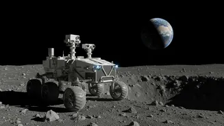
Independent navigation is a game-changer for the future of lunar exploration. For rovers, it means true autonomy. They could be tasked with exploring vast, uncharted areas, collecting samples, or mapping terrain without constant human supervision. This increases mission efficiency and safety, especially in hazardous environments like permanently shadowed craters where communication can be spotty. For astronauts, it means having a reliable positioning tool, similar to GPS on Earth, allowing them to venture farther from their lander on the future Lunar Terrain Vehicle (LTV) with greater confidence. Ultimately, developing this capability is a critical step in making a sustained human presence on the Moon a practical reality.