



A Sudden, Catastrophic Deluge
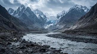
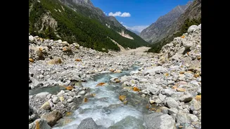
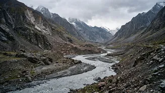
On February 7, 2021, a terrifying wall of water and debris surged through the Rishiganga and Dhauliganga valleys in Chamoli, Uttarakhand. The flash flood was apocalyptic in its speed and force, obliterating two hydropower projects and claiming over 200
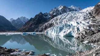
lives. In the immediate aftermath, experts were baffled. There was no evidence of a Glacial Lake Outburst Flood (GLOF), the typical culprit for such events, where a lake formed by melting glaciers breaches its natural dam. There hadn't been extreme rainfall either. The disaster appeared to have come from a clear blue sky, leaving a tragic and unsettling question: what caused it?
Decoding the Disaster
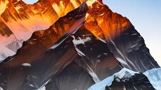
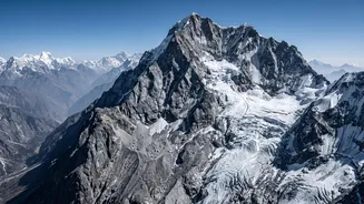
An international coalition of scientists began a high-tech investigation to solve the mystery. They analysed a wealth of data, including high-resolution satellite imagery, seismic records, and harrowing eyewitness videos. The satellite images were crucial, allowing researchers to track the plume of dust and water back to its source: a dark patch high on the steep, icy face of Ronti Peak. Seismic sensors had registered a signal, not of an earthquake, but of a massive landslide. Piecing these clues together, the team ruled out a GLOF and focused on the collapse of the mountain itself as the trigger for the devastating chain of events.
The Real Culprit: A Mountain of Rock and Ice
The investigation concluded that the trigger was a rock-ice avalanche of staggering proportions. A gigantic wedge of rock, approximately 27 million cubic metres and mixed with glacial ice, broke away from Ronti Peak. This mass, comprising about 80% rock and 20% ice, plummeted over three kilometres down the steep slope. The incredible energy generated by this fall created immense friction, which flash-melted the ice component almost instantly. This rapid conversion of solid ice to water transformed the rockslide into an extraordinarily mobile and destructive debris flow, a slurry of water, mud, and boulders that scoured the valley below with immense force.
A New and Unpredictable Himalayan Threat
This discovery has fundamentally changed the understanding of flood risk in the Himalayas. For decades, disaster management has focused on monitoring glacial lakes, but the Chamoli event proved that a catastrophic flood can occur without one. The culprit is the thawing of permafrost—permanently frozen ground that acts like cement, binding rock and ice together on steep slopes. As climate change warms the high Himalayas, this permafrost is weakening, making massive rock-ice failures more likely. These events are far harder to predict than GLOFs, posing a silent, growing threat to the millions of people living downstream and to critical infrastructure like dams and highways.
Living in the Shadow of the Peaks
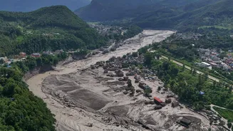
Recent devastating floods in Nepal, also suspected to be triggered by similar rock-ice avalanches, have reinforced the urgency of this new reality. Experts now warn that a series of these disasters in Nepal and Uttarakhand reveals a new pattern of risk across the entire Himalayan arc. This calls for a major shift in how we assess mountain hazards. It requires new monitoring technologies to detect unstable slopes, updated risk maps for all infrastructure development, and better early-warning systems for downstream communities. Understanding this new threat is the first step towards adapting to life in a region where the mountains themselves are becoming increasingly unstable due to a warming climate.