




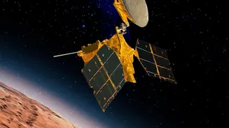
What is NavIC?
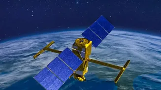
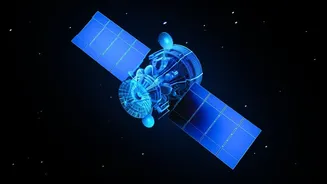
NavIC, which stands for Navigation with Indian Constellation, is India's independent regional satellite navigation system. Developed by the Indian Space Research Organisation (ISRO), it is designed to provide accurate, real-time positioning and timing
services over India and a region extending approximately 1,500 kilometres around the mainland. This strategic asset is crucial for both civilian and military applications, from vehicle tracking and disaster management to guiding missiles and troop movements. The idea was born out of a need for strategic autonomy, particularly after the Kargil War in 1999, when access to foreign-owned GPS data was denied. Having our own system ensures India is not dependent on other nations for critical navigation data, especially during conflicts.
A Constellation in Distress
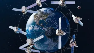
A full NavIC constellation requires a minimum of four operational satellites to provide standalone positioning services—calculating latitude, longitude, altitude, and time. However, India's system has been in a state of distress. The first-generation satellites (termed IRNSS) were plagued by failures in their imported rubidium atomic clocks, which are the heart of any navigation satellite. These clocks need nanosecond-level accuracy to function. Due to these failures and some satellites simply reaching their end-of-mission life, the number of fully functional satellites providing positioning services dwindled. By early 2026, reports confirmed that only three satellites were fully operational for this purpose, leaving NavIC unable to provide independent navigation and forcing users to rely on a mix of signals from other global systems like GPS.
The Promise of NVS-03
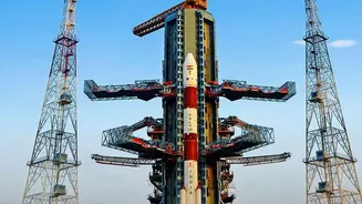
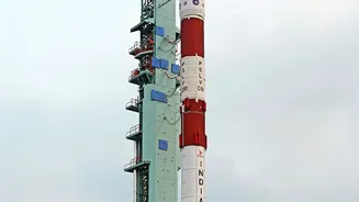
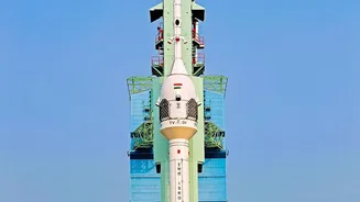
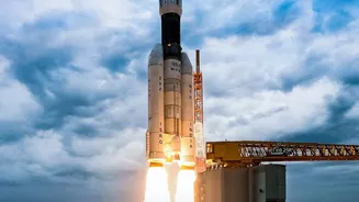
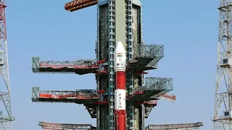
The upcoming launch of NVS-03, scheduled for mid-October 2026, is a critical mission to fix this gap. It is the next in the line of second-generation NavIC satellites, designed to be more robust. A significant upgrade is the inclusion of an indigenously developed rubidium atomic clock, created by ISRO's Space Applications Centre to overcome the issues faced with imported ones. The previous attempt to launch a second-generation satellite, NVS-02, in January 2025 failed to reach its intended orbit due to a technical snag. ISRO has since identified and implemented corrective measures. A successful NVS-03 mission would restore the crucial fourth satellite, potentially bringing the NavIC system back to providing standalone positioning services.
Why Standalone Capability Matters
While NavIC signals could still be used in combination with other systems like GPS, the loss of standalone capability was a significant strategic setback. For the armed forces, relying on foreign-controlled networks creates a critical dependency. Access to these systems could be restricted or denied during a conflict, compromising everything from missile guidance to the coordination of warships and aircraft. For civilian applications, a fully functional indigenous system opens up a world of possibilities, encouraging the development of NavIC-specific receivers and applications, boosting the local technology ecosystem. Regaining this capability is not just about having a backup; it's about ensuring sovereign control over a fundamental piece of modern infrastructure for security, economic, and scientific purposes.
The Road Ahead for NavIC
The launch of NVS-03 is just the first step in a broader plan to revitalise and strengthen the NavIC constellation. Government officials have stated that two more satellites, NVS-04 and NVS-05, are already in advanced stages of production. The plan is to launch these in succession to not only replenish the constellation but also build in redundancy, ensuring that the system remains robust even if one satellite faces issues. These second-generation satellites also broadcast on the L1 frequency band, which is commonly used by civilian devices like smartphones, a feature intended to drive widespread adoption. The goal is to move beyond the minimum requirement and build a resilient, seven-satellite constellation that can reliably serve the nation for years to come, fulfilling the original vision of a truly self-reliant India in the domain of satellite navigation.