

A Fire That Makes Its Own Weather
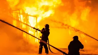
In what has been described as a first for the country, a massive wildfire in southwestern France grew so powerful that it generated its own thunderstorm. This rare weather event is known to scientists as a pyrocumulonimbus cloud, or pyroCb for short.
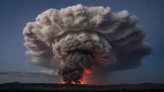
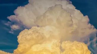
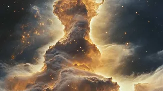
NASA has a more dramatic nickname for them: "fire-breathing dragon clouds." When a wildfire becomes exceptionally large and hot, it creates a colossal column of superheated air, smoke, and moisture that rockets upward into the atmosphere. This intense updraft is so powerful that as the air rises and cools, the moisture condenses around ash particles, forming a towering, smoke-filled storm cloud. The blaze is no longer just being influenced by the weather; it is creating its own.
The Science of Fire Lightning
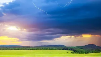
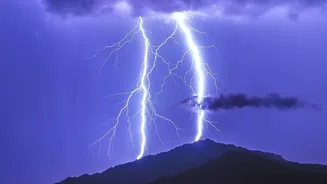
The process is similar to how a normal thunderstorm forms, but with a terrifying, fiery twist. As the turbulent column of air, smoke, and water vapour rises, it can soar to altitudes of 10 to 15 kilometres, high enough to penetrate the stratosphere where jet aircraft cruise. In the frigid upper reaches of this cloud, water droplets freeze into ice particles. The violent, churning motion inside the cloud causes these ice particles and ash to collide, stripping electrons and creating a massive separation of electrical charge. Just like in a regular thundercloud, when this electrical potential becomes too great, it discharges as a giant spark — a bolt of lightning. The result is a thunderstorm born directly from a wildfire.
A New Dimension of Danger
For firefighters, a pyroCb represents a worst-case scenario. The dangers go far beyond the risk of being struck by lightning. These fire-generated storms create violent and erratic winds, including powerful downdrafts that can slam into the ground and push the fire in completely unpredictable directions. This makes the fire's spread impossible to anticipate, cutting off escape routes and endangering crews on the ground. The updrafts are also strong enough to suck up and fling burning embers for kilometres, starting new spot fires far ahead of the main blaze. The lightning itself, often occurring with little to no rain, can ignite even more fires, creating a vicious feedback loop. Faced with such a volatile situation, firefighters have described it as a David-versus-Goliath scenario where directly fighting the flames becomes impossible.
A Global Concern
While this was a historic first for France, pyrocumulonimbus clouds are not an entirely new phenomenon. They have been documented with increasing frequency during extreme wildfires in Australia and North America. In 2021, a fire in British Columbia, Canada, generated an astonishing 700,000 lightning flashes. The emergence of this phenomenon in Europe is a worrying development that experts are linking to climate change, which is leading to more frequent and intense heatwaves and droughts. As wildfires around the world become larger and more powerful, understanding and predicting these 'fire-breathing dragons' is becoming critically important for protecting communities and the firefighters who risk their lives to defend them.