







India’s Eyes in the Sky
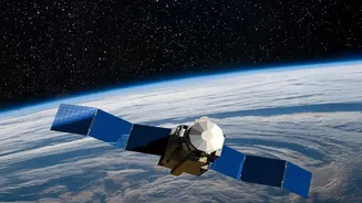
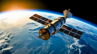
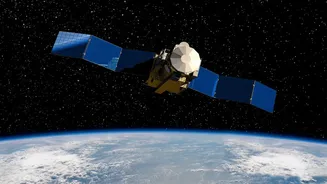
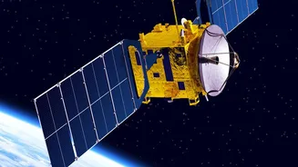
The Earth Observation Satellite program is a cornerstone of the Indian Space Research Organisation's (ISRO) mission. These are not just cameras in orbit; they are sophisticated instruments designed to monitor our planet in various ways. The EOS series
represents a new generation of satellites providing high-resolution imagery and data for a multitude of applications. This data is critical for everything from urban planning and managing natural resources to bolstering national security. Unlike satellites in low-Earth orbit that pass over a location periodically, some advanced satellites like EOS-05 are placed in a geosynchronous orbit. This allows them to stay over the same broad region, providing near-continuous monitoring of the Indian subcontinent.
A Boost for National Security
In an era of complex geopolitical dynamics, space-based assets are a vital component of national security. India's EOS program provides crucial intelligence, surveillance, and reconnaissance capabilities. Satellites like EOS-04, a Radar Imaging Satellite, can capture high-quality images regardless of weather or light conditions. This all-weather, day-and-night capability is essential for monitoring borders and keeping an eye on strategic areas of interest. The ability of satellites like EOS-05 to provide persistent observation over a large area adds another layer to India's security apparatus, offering valuable information to security agencies. This push is part of a broader strategy to enhance India's strategic autonomy and technological sovereignty in the face of regional challenges.
Guarding Against Natural Disasters
Beyond security, one of the most significant civilian applications of the EOS program is disaster management. These satellites are invaluable tools for tracking cyclones, mapping flood-affected areas, and monitoring forest fires in near real-time. The frequent imaging capability of a satellite like EOS-05 allows authorities to watch the development of a cyclone or the spread of a flood, enabling faster and more effective response efforts. This space-based early warning system can save lives and minimise damage by providing timely and accurate information to disaster management agencies on the ground.
Powering the Economy and Agriculture
The data from Earth Observation Satellites has a direct impact on the Indian economy. In agriculture, these satellites provide crucial information on crop health, soil moisture, and pest infestations, helping farmers improve yields and make informed decisions. Missions like EOS-06, also known as Oceansat-3, are specifically designed to monitor ocean colour, sea surface temperature, and wind patterns. This data is vital for fishermen, helping them locate potential fishing zones, and it also supports coastal zone management and climate change studies. Furthermore, the information helps in managing water resources, forestry, and monitoring environmental changes, all of which are critical for sustainable development.
The Significance of EOS-05
The EOS-05 mission, launched on September 4, 2026, marks a significant milestone for ISRO. As India's first dedicated imaging satellite in a geosynchronous orbit (nearly 36,000 km above Earth), it provides a unique capability for continuous observation. This mission successfully overcomes a previous setback from 2021, when a similar satellite, EOS-03, was lost due to a launch vehicle failure. The success of the GSLV-F17 rocket in placing EOS-05 into its intended orbit demonstrates ISRO's resilience and technical prowess. This new 'eye in the sky' will significantly enhance India's ability to monitor weather patterns, natural disasters, and strategic areas with unprecedented frequency.