




The Undiscovered Hiker's Paradise
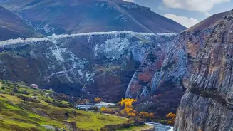
Nestled at the crossroads of Europe and Asia, Azerbaijan offers a surprising and diverse landscape for trekkers willing to venture off the beaten path. The country is home to nine of the world's eleven climate zones, meaning you can experience everything
from semi-desert to alpine meadows, often within a few hours' drive. While destinations like the Alps or the Himalayas draw huge crowds, Azerbaijan's Greater Caucasus range provides equally dramatic scenery with a fraction of the foot traffic. Here, trails wind through deep canyons, across high-altitude plateaus, and into villages that have preserved their unique languages and traditions for centuries.
Guba Region: Gateway to the High Peaks
For many hikers, the journey begins in the Guba region, the primary access point for some of the country's most famous trails. The star of this region is Khinalig, one of the highest and oldest continuously inhabited villages in the Caucasus, sitting at over 2,200 meters. From here, several marked trails offer options for all levels. A popular choice for beginners is the Khinalig-Galakhudat trail, an 8-kilometer path that follows old shepherd routes across subalpine meadows with stunning views of the surrounding peaks. For a more challenging multi-day trek, experienced hikers can connect a series of villages like Khinalig, Griz, and Laza, staying in local guesthouses along the way.
Sheki: History and Forests
In northwestern Azerbaijan, the historic city of Sheki serves as a base for exploring a different kind of landscape. Once a key stop on the Silk Road, the region is known for its lush forests, ancient churches, and cobblestone streets. Hiking here often combines nature with culture. You can walk from the city to the ancient Church of Kish or tackle a portion of the Transcaucasian Trail (TCT), a long-distance route being developed to span Georgia, Armenia, and Azerbaijan. The Sheki section of the TCT winds through forested valleys and over highland pastures, passing remote shepherd shelters and historic caravanserais. Trails here can be less defined, so using a guide or downloading a reliable GPS track is highly recommended.
Trails For Every Level
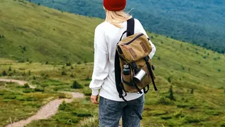
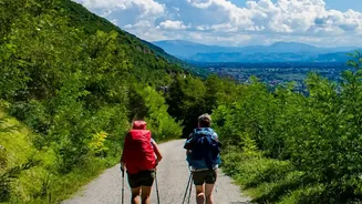
Azerbaijan's hiking scene is not just for seasoned mountaineers aiming for a 4,000-meter peak. While challenging summits like Mount Bazarduzu exist, there are countless options for day-trippers and casual walkers. The village of Laza in the Gusar district is another popular hub, known for its waterfalls and accessible trail to the nearby village of Kuzun. Shahdag National Park, the country's largest, offers a vast network of routes, from demanding high-altitude climbs to gentler walks through valleys. Many trails, especially around key villages like Khinalig and Sheki, have been marked by the Azerbaijan Tourism Board, making them more accessible for self-guided hikes.
Planning Your Azerbaijani Hiking Trip
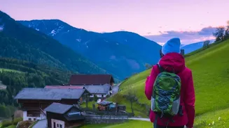
The best time for hiking in the Caucasus Mountains is typically from May to September, with July and August being ideal for high-altitude treks when the snow has melted. For lower elevation trails, spring and autumn offer pleasant weather. While some popular routes are well-marked, many remote paths are not, making a local guide valuable for navigation, transport to trailheads, and cultural insights. Accommodation ranges from wild camping in national parks to staying in village guesthouses, which provides an authentic opportunity to experience legendary Azerbaijani hospitality. Before setting out, always research your route, check weather conditions, carry plenty of water, and download offline maps or GPS tracks, as trail conditions can change and markings can be inconsistent.