








A Dangerous Combination
Imagine a staircase. For decades, climate change has been adding steps, making the whole staircase higher. This is our new, warmer baseline temperature. Now, imagine someone taking a big leap up those stairs. That leap is El Niño, a natural and cyclical
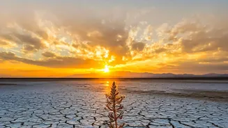
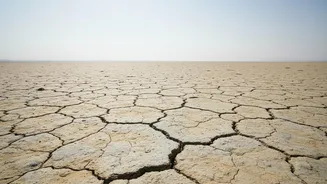
climate phenomenon that temporarily boosts global temperatures. When El Niño's leap happens on a much higher staircase, the final height reached can be staggering and unprecedented. This is the situation climate scientists are warning about now. The interaction isn't just additive; global warming can intensify the effects of El Niño, making droughts drier, rainfall heavier, and heatwaves more extreme.
What Exactly Is El Niño?
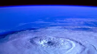
El Niño, Spanish for “the little boy,” is a natural warming of the sea surface in the central and eastern tropical Pacific Ocean. It occurs every two to seven years and fundamentally alters global atmospheric circulation. Normally, strong trade winds blow from east to west across the Pacific, piling up warm water in Asia. During an El Niño, these winds weaken or even reverse. This allows the vast pool of warm water to slosh back eastwards, towards the Americas. This shift releases an enormous amount of heat from the ocean into the atmosphere, affecting weather patterns worldwide and often causing a spike in global average temperatures.
The Ever-Warming Planet
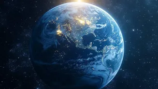
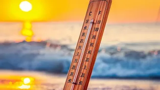
The backdrop to this recurring natural drama is the undeniable, human-caused warming of the planet. Due to the burning of fossil fuels, the last decade has been the warmest on record, and each of the last four decades has been warmer than the one before it. According to data from multiple climate agencies, 2024 was the warmest year ever recorded, and the planet is now about 1.4°C warmer than it was in the pre-industrial era. This means that even in a 'normal' year without El Niño, the risk of extreme weather is already elevated. The entire climate system is starting from a much hotter, more energy-charged state, which amplifies any additional warming event.
The India Connection
For India, an El Niño event is a significant cause for concern. Historically, there is a strong correlation between El Niño years and weaker southwest monsoon seasons. The monsoon is the lifeblood of Indian agriculture and replenishes over 70% of the country's annual rainfall. A disruption can lead to lower crop yields, rising food prices, depleted reservoir levels, and increased stress on the economy. The warming of the Pacific and the altered atmospheric patterns can effectively dampen the moisture-laden winds that are crucial for a healthy monsoon. With forecasts already pointing to a strong El Niño developing, Indian meteorological agencies are carefully monitoring the situation for its potential impact on the upcoming monsoon season.
An Alarming Forecast
As of July 2026, the world's leading climate prediction centers are in strong agreement. A strengthening El Niño is not just likely, but already underway. Forecast models show a high probability—some as high as 97%—that a strong El Niño will persist through late 2026 and into early 2027. Some models suggest this event has the potential to rival the strongest El Niños ever recorded. Given that 2024 and 2025 were already among the hottest years in history even without a strong El Niño, scientists warn that 2027 could shatter all previous temperature records.