





The Himalayan Connection
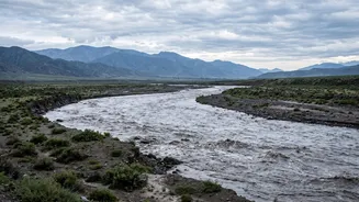
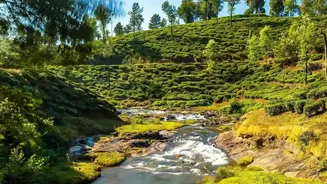
The story begins high in the Himalayas. The Gandak, known as Narayani in Nepal, and the Ghaghara, called Karnali in western Nepal, are mighty transboundary rivers. They are fed by glaciers and numerous tributaries draining massive mountain catchments.
The Gandak originates near the Tibet-Nepal border and flows through central Nepal, while the Ghaghara, the largest tributary of the Ganga by volume, drains the west. Both carve their way south through steep mountain gorges before making a dramatic entry into India, where their character completely changes. This geographical link is the foundation of the annual flood threat for downstream Indian states.
Why Floods Start in Nepal
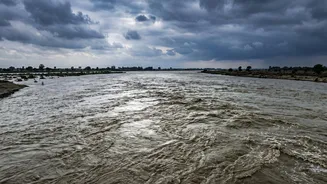
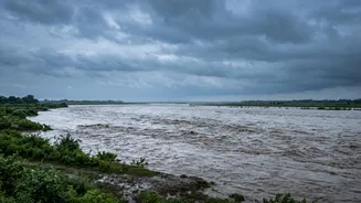
Nepal's topography makes it a hotbed for flooding. The steep Himalayan terrain, combined with intense seasonal monsoon rainfall, creates perfect conditions for flash floods, landslides, and rapid river surges. Cloudbursts can dump enormous amounts of water in a short period, and glacial lake outbursts can release sudden, devastating waves of water and debris. This water funnels into river systems like the Gandak and Ghaghara, gathering immense force and volume as it rushes downhill. The journey from a mountain crisis to a plains emergency is alarmingly swift.
The Journey to India's Plains
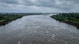
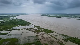
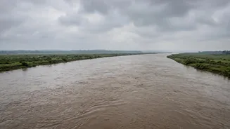
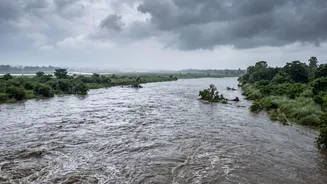
The real danger for India begins where the mountains end. As the Gandak and Ghaghara exit the Himalayan foothills, they enter the flat, low-gradient Gangetic plains of Uttar Pradesh and Bihar. The rivers, which were fast-flowing and confined in narrow gorges, suddenly slow down and spread out. This loss of speed causes them to drop the massive amounts of silt and sediment they've carried from the mountains. This process, called aggradation, raises the riverbeds over time. A raised riverbed means the channel can hold less water, making it far more likely to breach its banks and cause extensive flooding even during normal monsoon flows, let alone when a major surge arrives from Nepal.
The Ground Impact in Bihar and Uttar Pradesh
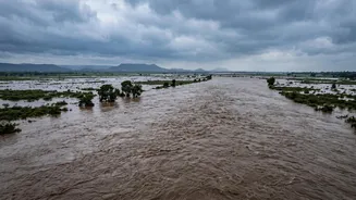
For communities in North Bihar and Eastern Uttar Pradesh, this is an annual ordeal. The Gandak enters India at the Valmikinagar barrage in West Champaran, Bihar, and from there impacts districts like Gopalganj, Muzaffarpur, and Saran. The Ghaghara flows into eastern UP, affecting areas like Bahraich, Gonda, and Balrampur before eventually joining the Ganga near Chhapra in Bihar. The floods inundate vast tracts of fertile farmland, destroy crops, damage homes and infrastructure, and force thousands into temporary shelters. North Bihar is particularly vulnerable, with over 70% of its area classified as flood-prone. The situation is often worsened if the Ganga itself is running high, which can block the outflow of these tributaries and cause water to back up, leading to even more severe flooding.
A Shared Problem with Complex Solutions
Since the rivers cross an international border, managing the risk requires bilateral cooperation between India and Nepal. Several agreements on water management and flood control, like those for the Gandak and Kosi projects, have existed for decades. These include frameworks for sharing hydrological data and flood forecasts, which are critical for early warnings. For instance, when a flood surge is detected in Nepal, authorities in Bihar open the gates of barrages like the one at Valmikinagar to manage the flow. However, cooperation can be fraught with challenges, including differing national priorities, political friction, and debates over project benefits. Experts argue that moving beyond just building embankments towards integrated watershed management and improving real-time warning systems is crucial for mitigating the recurring disaster.