







The New Eyes in the Sky
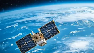
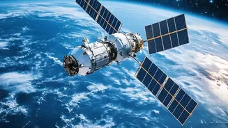
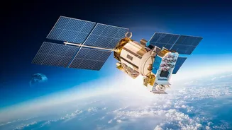
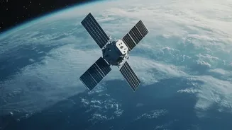
Not long ago, Earth observation was the exclusive domain of government space agencies. Today, the sector is dominated by a thriving commercial market. Fleets of small, sophisticated satellites, launched by private companies like Planet Labs and Maxar,
now circle the globe, capturing images at a breathtaking frequency and clarity. While government programs continue to provide essential data, private firms now control much of the world's high-resolution imaging capabilities. This commercial boom has dramatically increased the availability of geospatial data, with the global Earth observation market projected to reach over USD 10 billion in 2026. These satellite constellations can image the same location multiple times a day, offering a near-persistent view of activity on the ground. Combined with sensors that see beyond the visible spectrum, like Synthetic Aperture Radar (SAR) which can see through clouds and at night, our ability to monitor the planet has become truly transformative.
AI: Making Sense of the Data Deluge
Having thousands of satellites is one thing; interpreting the petabytes of data they produce is another. This is where Artificial Intelligence (AI) becomes the second critical part of the equation. GeoAI, the application of machine learning to geospatial data, is no longer a futuristic concept but a fundamental tool. In 2026, AI algorithms automatically scan and analyze satellite imagery to identify patterns and changes with superhuman speed and accuracy. These systems can automate tasks like counting ships in a port, assessing flood damage in real-time, monitoring deforestation, or even estimating crop yields for an entire country. The industry is moving beyond selling raw imagery to providing 'decision-ready intelligence' through APIs, allowing businesses to integrate this data directly into their operations.
A 'Wild West' of Governance
This technological leap has far outpaced the laws meant to govern it. The foundational legal framework, the Outer Space Treaty of 1967, ensures that outer space is free for exploration and use by all states but does not specifically regulate private remote sensing. The result is a fluid patchwork of national laws and non-binding UN principles from 1986. This creates significant legal uncertainty. For example, while international law protects a state's sovereign airspace, it doesn't stop a satellite from taking pictures from orbit. This has led to what some call a 'privacy gap,' as most data protection laws, including in India, weren't designed to handle the continuous, borderless surveillance capabilities of modern satellite networks. Key questions remain unanswered: who is liable if satellite data is misused? How do we balance commercial freedom with national security? And can one country legally restrict another's private company from imaging its territory?
The India Opportunity and Dilemma
For India, this new era presents both a massive opportunity and a complex challenge. The Indian Space Policy of 2023 aims to encourage private sector participation across the entire space value chain, recognizing the potential for innovation and economic growth. Indian entities are now encouraged to offer services using their own or leased satellites. This can boost everything from agriculture and disaster management to urban planning. However, national security remains a primary concern. India's regulations prohibit the mapping of sensitive installations and require government clearance for the dissemination of very high-resolution satellite data. The government is also navigating the entry of global players like Starlink, balancing the need for connectivity with data localization and security requirements. Striking this balance—between fostering a domestic commercial space ecosystem and guarding against the misuse of powerful surveillance technology—is the central challenge for Indian policymakers in 2026.