






A New Eye in the Sky
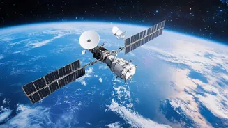
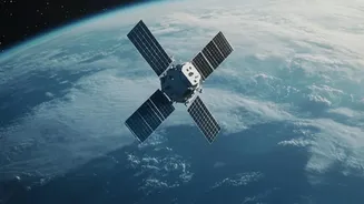
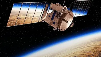
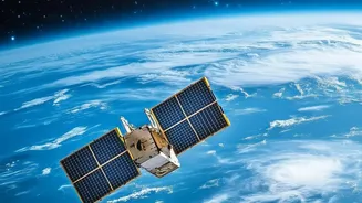
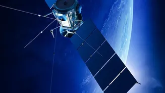
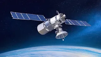
For decades, Earth observation was the exclusive domain of powerful government agencies. Today, a revolution is underway, driven by the commercial sector. Companies like Planet Labs, Maxar, and BlackSky have launched hundreds of small, relatively inexpensive
satellites into low-Earth orbit. Unlike their massive, solitary predecessors, these new satellites form 'constellations' that work together, enabling them to image the entire globe with astonishing frequency—in some cases, multiple times a day. This shift from scarce, government-controlled data to an abundant, commercially available resource marks a fundamental change in our ability to monitor the planet. The sheer volume of satellites and the rapid decrease in launch costs have democratised access to space-based imagery, creating a booming market for geospatial data.
AI as the Superhuman Analyst
The torrent of data from these satellite constellations would be useless without a way to analyse it. Human analysts simply cannot keep up. This is where Artificial Intelligence, specifically geospatial AI (GeoAI), plays a crucial role. AI algorithms can sift through petabytes of imagery in minutes, performing tasks that would take humans years. These systems are trained to detect objects, identify changes, and spot patterns with incredible speed and accuracy. For instance, an AI can automatically count ships in a port, assess the health of millions of acres of farmland, or detect the construction of new infrastructure in a remote area. Some new satellite systems even have AI processors on board, allowing them to analyse data in real-time before it's ever sent back to Earth, compressing the time from observation to insight.
The Promise of a Monitored Planet
The applications of this technology are transformative. For agriculture, it enables precision farming, where farmers can monitor crop health and optimise water and fertiliser use, boosting yields and promoting food security. In the fight against climate change, satellites track deforestation, monitor melting ice caps, and even verify carbon credits by observing reforestation projects. For disaster response, real-time imagery helps authorities assess damage from floods, wildfires, and earthquakes, directing aid to where it is most needed. Businesses use this data for supply chain monitoring and economic forecasting, while human rights groups use it to document atrocities in conflict zones that are otherwise inaccessible.
The Perils of a Watchful Eye
However, this all-seeing eye raises profound ethical and security questions. The ability to monitor locations and activities in near-real-time creates significant privacy risks, leading to concerns about a new era of mass surveillance by both corporations and states. There is an inherent tension between using this data for good and the right to privacy. Furthermore, AI systems are not infallible; they can have biases based on the data they are trained on, potentially leading to discriminatory outcomes. Another growing concern is the potential for disinformation, where manipulated or entirely synthetic satellite imagery could be used to create false narratives, eroding trust in what was once considered objective evidence.
A Frontier Without Laws
The technology is advancing far faster than the laws designed to govern it. The primary international legal framework, the Outer Space Treaty of 1967, was written for a world of state-sponsored space exploration and is ill-equipped to handle the complexities of a commercialised, data-driven space economy. It does not explicitly regulate private satellite operators or the data they collect. This creates a legal grey area around issues of data sovereignty, privacy, and accountability. While nations are responsible for the private space activities under their jurisdiction, there is no unified international body to manage the flood of satellite data crossing digital borders every second, leaving a critical governance gap that stakeholders are only now beginning to address.