



An Unblinking Eye on Earth’s Hotspots
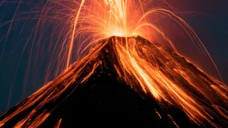
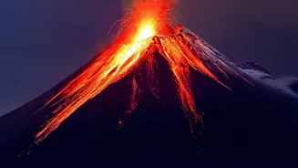
There are over 1,500 potentially active volcanoes on Earth, many in remote, inaccessible locations. Traditional ground monitoring is essential but can be difficult and dangerous. Satellites solve this problem by providing a global, consistent, and safe
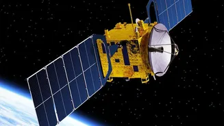
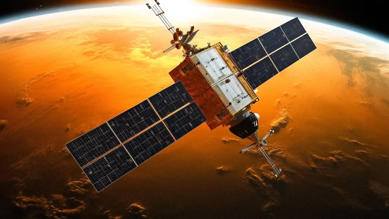
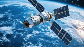
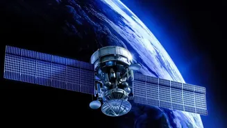
viewpoint. Missions from agencies like NASA and the European Space Agency (ESA) use a variety of sensors to watch over volcanoes day and night, in any weather. This continuous observation is crucial, as it allows scientists to monitor volcanoes that don't have ground sensors and provides a bigger picture of volcanic activity worldwide.
Tracking Dangerous Ash and Gas Clouds
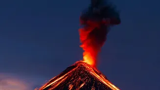
One of the most immediate dangers of an eruption is the massive cloud of ash and gas hurled into the atmosphere. These plumes pose a severe threat to aviation, as ash particles can melt in jet engines and cause them to fail. Satellites equipped with specialised instruments, like TROPOMI on the Copernicus Sentinel-5P, can detect and track gases like sulphur dioxide (SO2). Others use thermal infrared channels to distinguish ash from regular water clouds. This data is fed to Volcanic Ash Advisory Centres (VAACs), which issue warnings to reroute air traffic, as was critical during the 2010 eruption of Iceland's Eyjafjallajökull volcano.
Sensing the Ground Swell
Before an eruption, magma moving beneath the surface can cause the ground to swell, sink, or shift. These subtle changes, known as ground deformation, are often invisible to the naked eye but are a key warning sign. A technique called Interferometric Synthetic Aperture Radar (InSAR) uses radar signals from satellites like the Copernicus Sentinel-1 to create detailed maps of surface displacement. By comparing images taken at different times, scientists can detect changes with millimetre-level accuracy, providing clues that a volcano is 'reawakening' long before an eruption.
Detecting Telltale Heat Signatures
As magma rises, it heats the ground above it. Satellites with thermal imaging sensors, such as the MODIS instruments on NASA's Terra and Aqua satellites, can detect these 'hot spots'. In a major breakthrough, researchers found that in the years leading up to an eruption, the surface temperature over a large area of a volcano can subtly increase by about 1 degree Celsius. This faint thermal signal can indicate volcanic unrest years before other signs appear, offering a potential game-changer for long-term forecasting. These systems automatically scan the globe every few days, building a global database of volcanic heat.
Assessing the Aftermath
The work of satellites doesn't end when the eruption stops. In the aftermath, the data they collect is vital for assessing environmental damage and aiding recovery efforts. Optical satellites like Sentinel-2 can map the extent of lava flows, ash deposits, and landslides. They can monitor the destruction of vegetation and changes to the landscape, which helps in understanding the long-term ecological impact and identifying risks like mudflows (lahars). This information helps disaster management teams on the ground to understand the new terrain and plan their response more effectively.