






First, What Is El Niño?
El Niño is a natural climate pattern characterized by the unusual warming of sea surface temperatures in the central and eastern equatorial Pacific Ocean. This isn't just a patch of warm water; it's a massive shift that disrupts atmospheric circulation
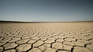
across the globe, altering jet streams and flipping weather patterns. Typically occurring every two to seven years, it can fuel intense storms in some parts of the world while causing severe droughts in others. For India, the primary concern is its historically strong connection to the southwest monsoon. El Niño conditions can weaken the monsoon, leading to delayed rains, prolonged dry spells, and lower overall rainfall. While not every El Niño year results in a drought, the correlation is strong enough to put the entire country on high alert.
The Brewing Concern for 2027
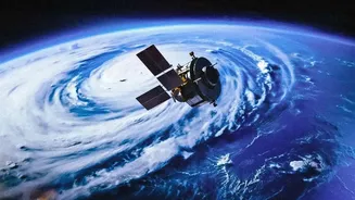
The specific risk for 2027 stems from the timing and predicted intensity of the current El Niño event. Climate models from agencies like the US National Weather Service and the European Centre for Medium-Range Weather Forecasts show a high probability of a strong or even "super" El Niño developing through late 2026. There is a critical lag effect with this phenomenon; while the ocean waters warm first, the biggest impact on global air temperatures often occurs 6 to 12 months later. A strong El Niño peaking in late 2026 would therefore exert its maximum influence on global temperatures in 2027, making it a prime candidate to become the hottest year on record. The World Meteorological Organization has warned there is a high likelihood that the global temperature record will be broken between 2026 and 2030, with 2027 being a likely contender.
Why 'Final Strength' Is Everything
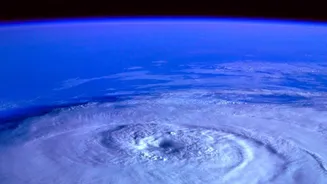
The difference between a weak, moderate, and strong El Niño is immense. Scientists classify the event's strength based on how much the sea surface temperatures rise above average. A weak event might cause minor, localized weather disruptions. A strong or "super" El Niño, however—where temperatures climb 1.5°C to 2°C or more above normal—can have catastrophic global consequences. According to the US National Weather Service, there is an 81% chance that a very strong El Niño will develop. Such an event has the power to supercharge extreme weather. The last super El Niño in 2015-16 was linked to severe droughts and vicious hurricane seasons across the globe. For India, a stronger El Niño significantly increases the odds of a deficient monsoon, which has cascading effects on agriculture, water reservoirs, and the economy.
What This Means for India
A strong El Niño poses a multi-faceted threat to India. The most immediate impact is on the monsoon, which is the lifeblood of the nation's agriculture. A weak monsoon means delayed sowing, lower crop yields, and the potential for rising food prices. Farmers, especially those in rain-fed regions, are the most vulnerable. Beyond the farms, the effects are widespread. Lower rainfall depletes reservoirs, straining water supplies for cities and industries and reducing hydropower generation. This often coincides with hotter-than-usual temperatures, which drive up demand for electricity for cooling, putting immense pressure on the power grid. While a positive Indian Ocean Dipole (a separate climate pattern) can sometimes counteract El Niño's effects, a strong event often overwhelms this buffer.