

An Eye in the Sky
Volcanoes are notoriously difficult and dangerous to monitor up close. Ground-based sensors are essential, but they provide a limited view and are often the first things destroyed in an eruption. Satellites overcome these challenges, offering a persistent,
safe, and comprehensive view of not just one volcano, but all 1,500 of the world’s potentially active volcanoes. This orbital perspective is crucial because many active volcanoes are in remote locations, making ground access impractical. By providing a steady stream of data day and night, regardless of weather, satellites form the backbone of modern global volcano monitoring, creating a vital first line of defence.
Detecting Subtle Ground Movements
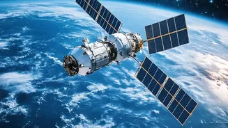
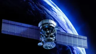
One of the most powerful tools in space-based volcano monitoring is Interferometric Synthetic Aperture Radar, or InSAR. This technology allows scientists to detect tiny changes in the ground surface with centimetre-scale accuracy. Before an eruption, as magma moves and accumulates underground, it often causes the surface to bulge upwards, like air filling a balloon. InSAR satellites, such as those in the Copernicus Sentinel program, bounce radar signals off the Earth's surface and compare images taken at different times. This comparison reveals subtle patterns of swelling or sinking, providing a clear map of ground deformation and giving scientists a vital clue about what’s happening beneath the surface. This technique is so precise it has become indispensable for forecasting and tracking unrest.
Sensing Heat and Gas
Beyond ground movement, satellites are equipped with sensors that can detect other tell-tale signs of volcanic unrest. Thermal infrared sensors can spot rising surface temperatures—a 'hot spot' that can indicate magma is nearing the surface or heating underground water systems. These heat anomalies are often one of the first signs of activity detected from space. Simultaneously, other instruments are designed to 'sniff' the atmosphere for volcanic gases. Increases in gases like sulfur dioxide (SO2), which are difficult to distinguish from other sources at ground level, are readily detectable from orbit. Tracking the quantity and location of these gas plumes helps scientists understand the state of the volcano and can warn of an impending eruption.
From Data to Actionable Warnings
The streams of data on ground deformation, heat, and gas are not just abstract scientific measurements; they are direct inputs for disaster preparedness. Scientists at volcano observatories around the world analyse this information in near real-time to build a comprehensive picture of the volcano's state. This fusion of satellite data with ground-based seismic and geochemical monitoring allows for more accurate and timely warnings. For example, this data can inform hazard maps, showing which areas are most at risk from lava flows or mudslides, enabling authorities to plan evacuation routes and protect communities. After an eruption, satellites continue to play a crucial role by tracking the spread of dangerous ash clouds, which pose a significant threat to aviation.
A Global and Collaborative Effort
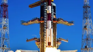
No single agency can monitor all the world's volcanoes alone. The strength of this system lies in international collaboration. Space agencies like NASA, the European Space Agency (ESA), and the Indian Space Research Organisation (ISRO) work together, sharing data from their respective satellite missions. A prime example of this collaboration is the NASA-ISRO Synthetic Aperture Radar (NISAR) mission. Set to provide comprehensive imaging of Earth's land and ice, NISAR will dramatically enhance our ability to track volcanic deformation globally, making its data freely available to scientists and disaster managers. This open-data approach ensures that experts everywhere can access the best possible information to protect the 800 million people living within 100 km of an active volcano.