

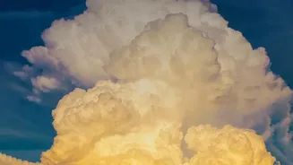
A Storm Born from a Blaze
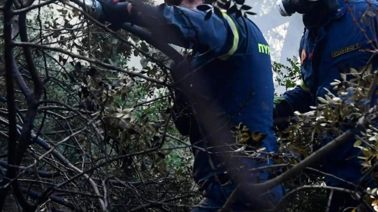
In late July 2026, firefighters battling a massive wildfire in France’s Gironde region witnessed something extraordinary and alarming. The immense column of smoke and heat rising from the inferno billowed high into the atmosphere, cooled, and condensed
into a massive, churning thundercloud. This wasn't a normal weather system passing by; the fire itself had become a weather-maker, generating a pyrocumulonimbus cloud—a first-ever recorded event of its kind in France, according to the country's national firefighters federation. The event forced the evacuation of over 220,000 people as the fire burned through hundreds of square kilometers of forest.
What Exactly Is a Fire Cloud?
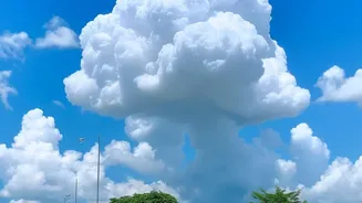
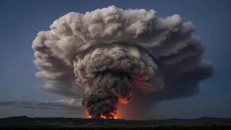
A pyrocumulonimbus cloud, or pyroCb, is essentially a thunderstorm born from the intense energy of a wildfire, volcanic eruption, or other major heat source. Think of a standard thunderstorm, which forms when warm, moist air rises into the cooler upper atmosphere. A pyroCb follows the same basic principle, but the initial lifting mechanism is far more violent: the colossal heat from a massive fire. The fire acts like a chimney, creating a powerful updraft that funnels smoke, ash, and water vapor high into the sky. These clouds are often called the "fire-breathing dragons of clouds" for their destructive potential. This phenomenon is more commonly seen in the intense fire seasons of Australia and North America.
The Science of a Fire-Made Storm
The formation of a fire cloud is a multi-stage process driven by extreme energy. It begins when an intense fire heats the air above it, causing it to rise rapidly. This updraft is strong enough to carry water vapor, smoke, and fine ash particles thousands of feet up. As this column of hot air ascends, it enters cooler atmospheric layers and begins to cool and expand. The water vapor then condenses onto the ash particles, which act as nuclei, forming a pyrocumulonimbus cloud—a puffy cloud made of smoke and water. If the fire is powerful enough and the atmosphere is sufficiently unstable, the updraft continues to punch upward, sometimes reaching altitudes of 10 to 15 kilometers, well into the stratosphere.
From Cloud to Thunderstorm
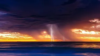
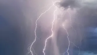
The transformation into a full-blown thunderstorm happens at these extreme altitudes. As the cloud continues to rise into sub-freezing temperatures, the water droplets turn into ice crystals. The collisions between these ice crystals and supercooled water droplets inside the turbulent cloud create a separation of electrical charge, just like in a regular thunderstorm. When this charge builds up sufficiently, it discharges as lightning. The result is a complete, self-contained storm system generated by the fire below, capable of producing not just lightning but also powerful, erratic winds and sometimes even hail.
A Dangerous and Vicious Cycle
The danger of a pyrocumulonimbus cloud is that it creates a feedback loop that makes the wildfire on the ground even more destructive and unpredictable. The lightning it produces can strike miles away from the original fire front, igniting new blazes in dry, unburnt terrain and making containment efforts incredibly difficult. Furthermore, the storm generates its own powerful winds, including violent downdrafts and unpredictable gusts that can change the fire's direction and speed in an instant, posing a grave threat to firefighters. These winds can also carry burning embers long distances, helping the fire jump across natural or man-made barriers.
A Sign of a Changing Climate
While a natural phenomenon, the increasing frequency of pyrocumulonimbus events is seen by scientists as a stark indicator of a warming world. Climate change is driving hotter, drier conditions that lead to more frequent and intense wildfires. These supercharged fires are precisely the kind needed to generate their own weather. Longer, more severe fire seasons mean the conditions necessary for creating fire clouds are met more often. The appearance of such a storm in France, a place where they have not been previously recorded, highlights how extreme fire behavior is expanding into new regions as the climate continues to change.